La Paz to Sorata, via Mama Coca and Illampu
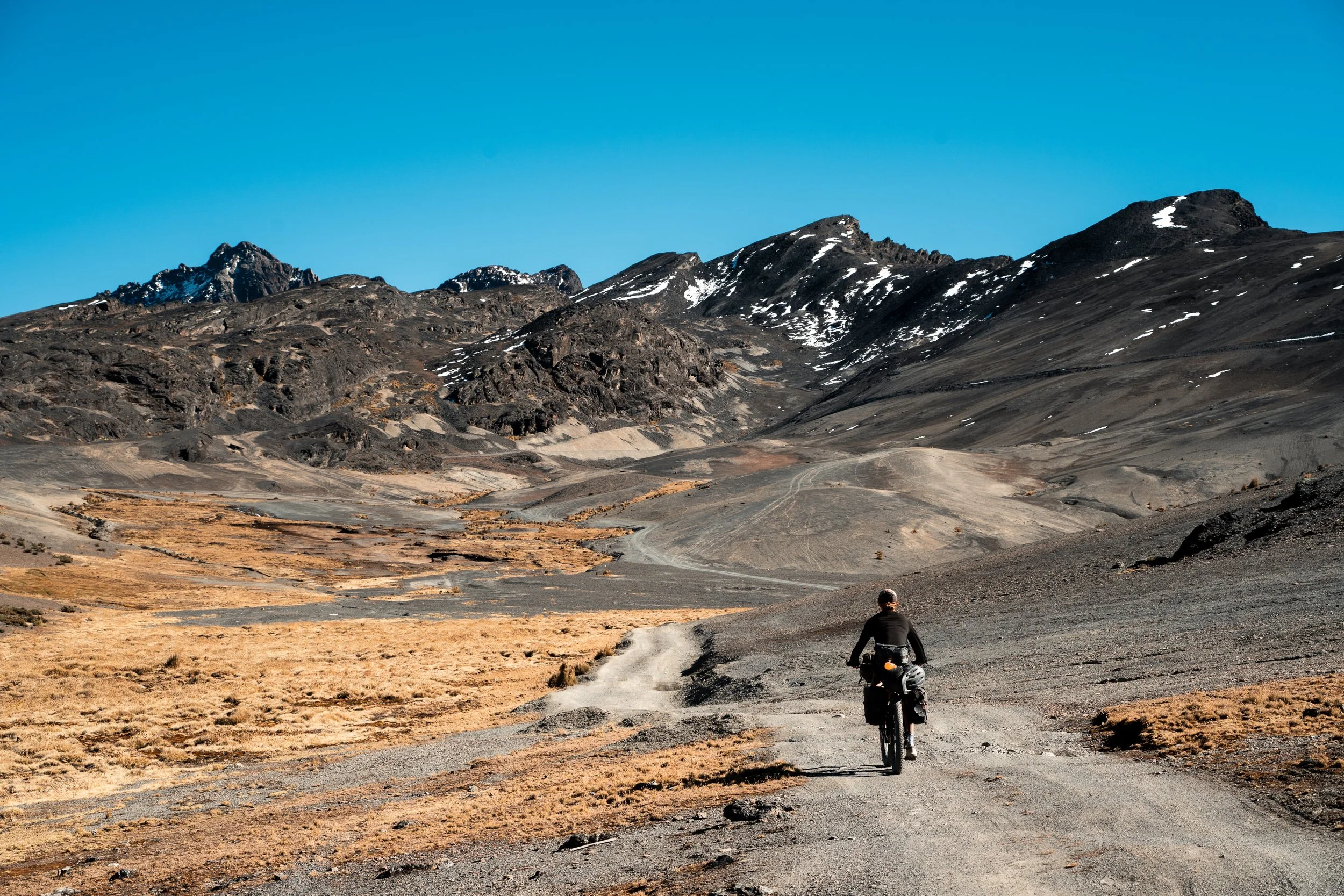
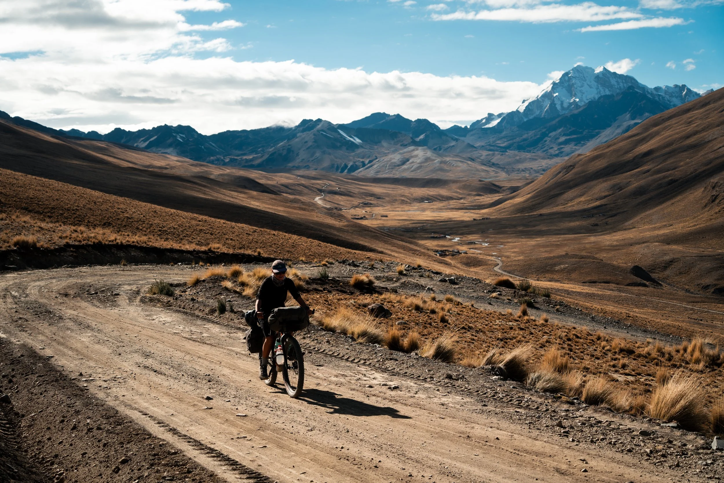
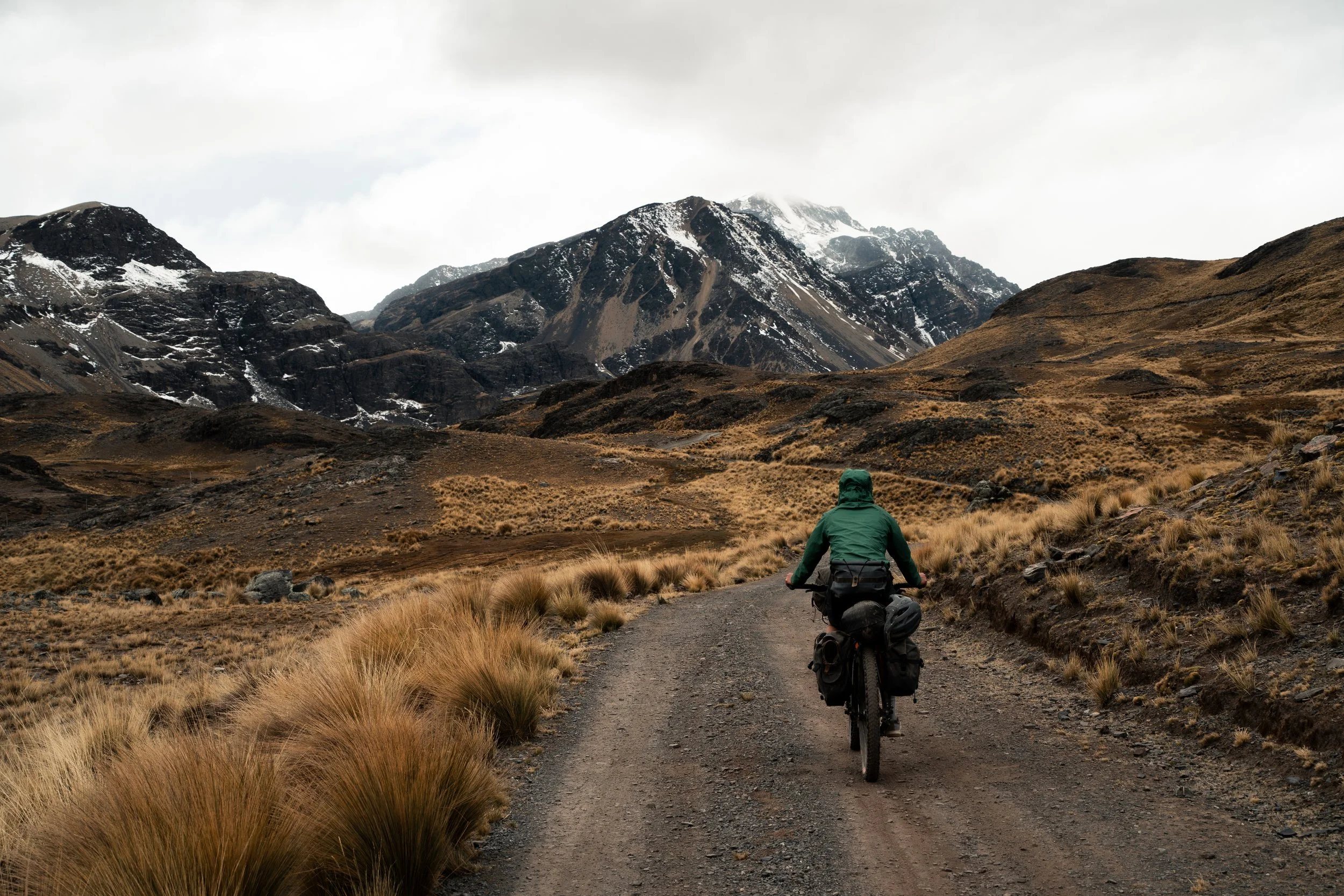
We caught a taxi to La Cumbre for the second time this trip. The 4600m pass between La Paz and the Amazon was where we had first started our trip nearly 3 months prior. Rather than descending the highway east to the Death Road we would instead head north along little used dirt roads, on the northern section of the Mama Coca route. Once again we assembled our bikes and bags and ate the same packed breakfast of a jam roll and a jelly cup from the hostel. This time we barely noticed the elevation, and the nervous excitement had long since dissipated.
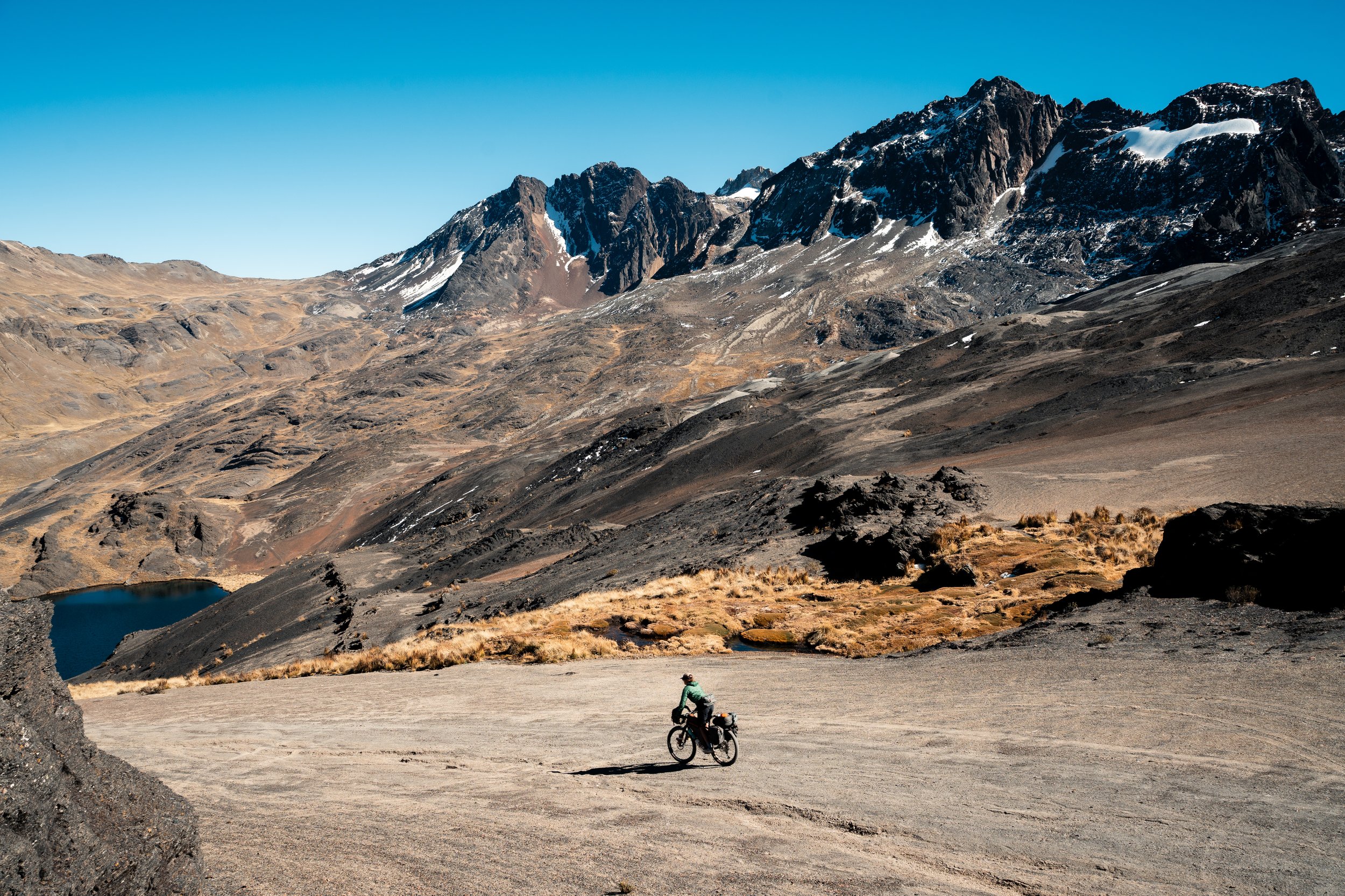
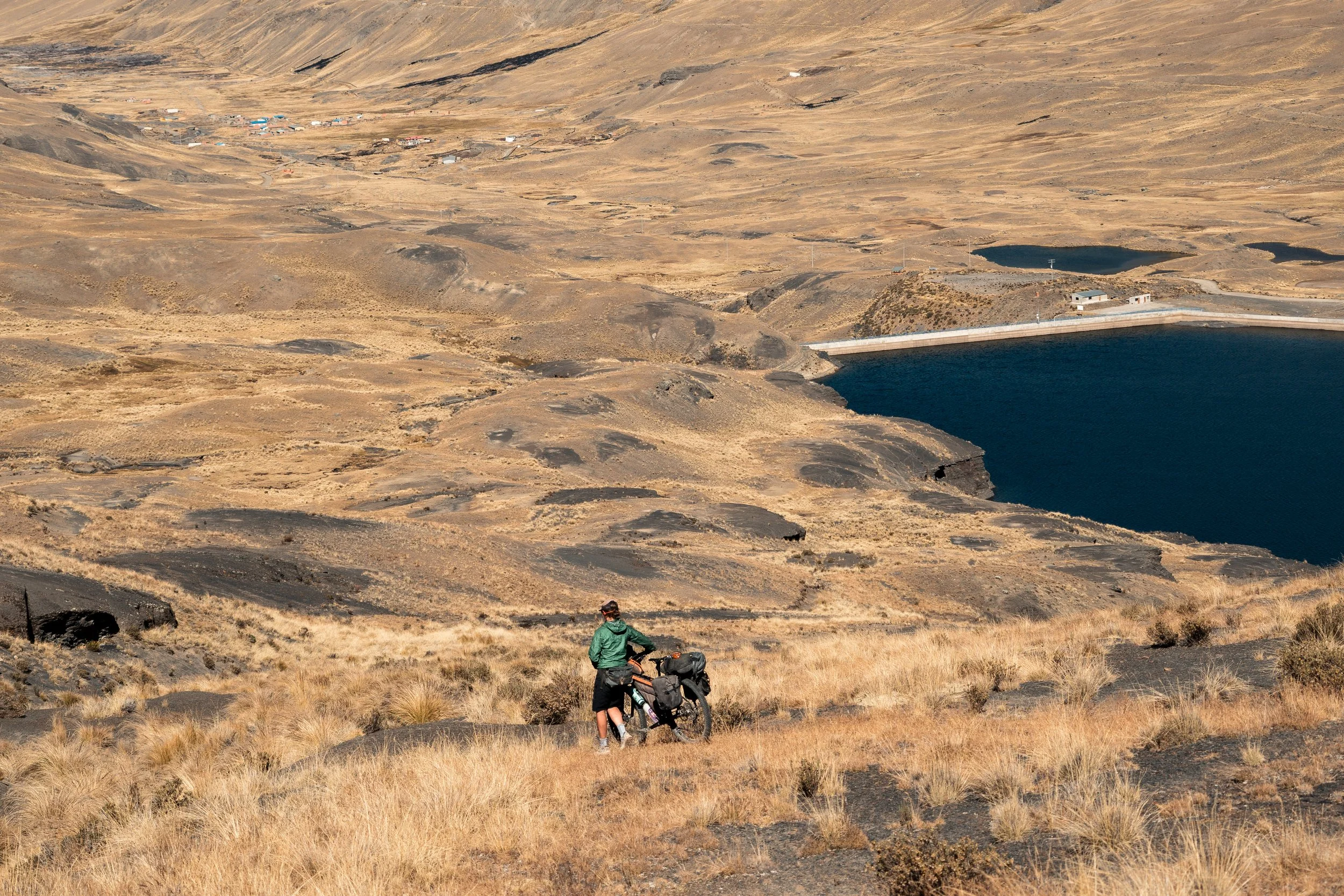
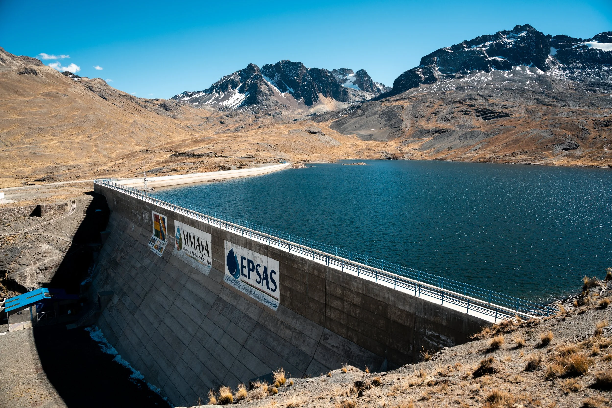
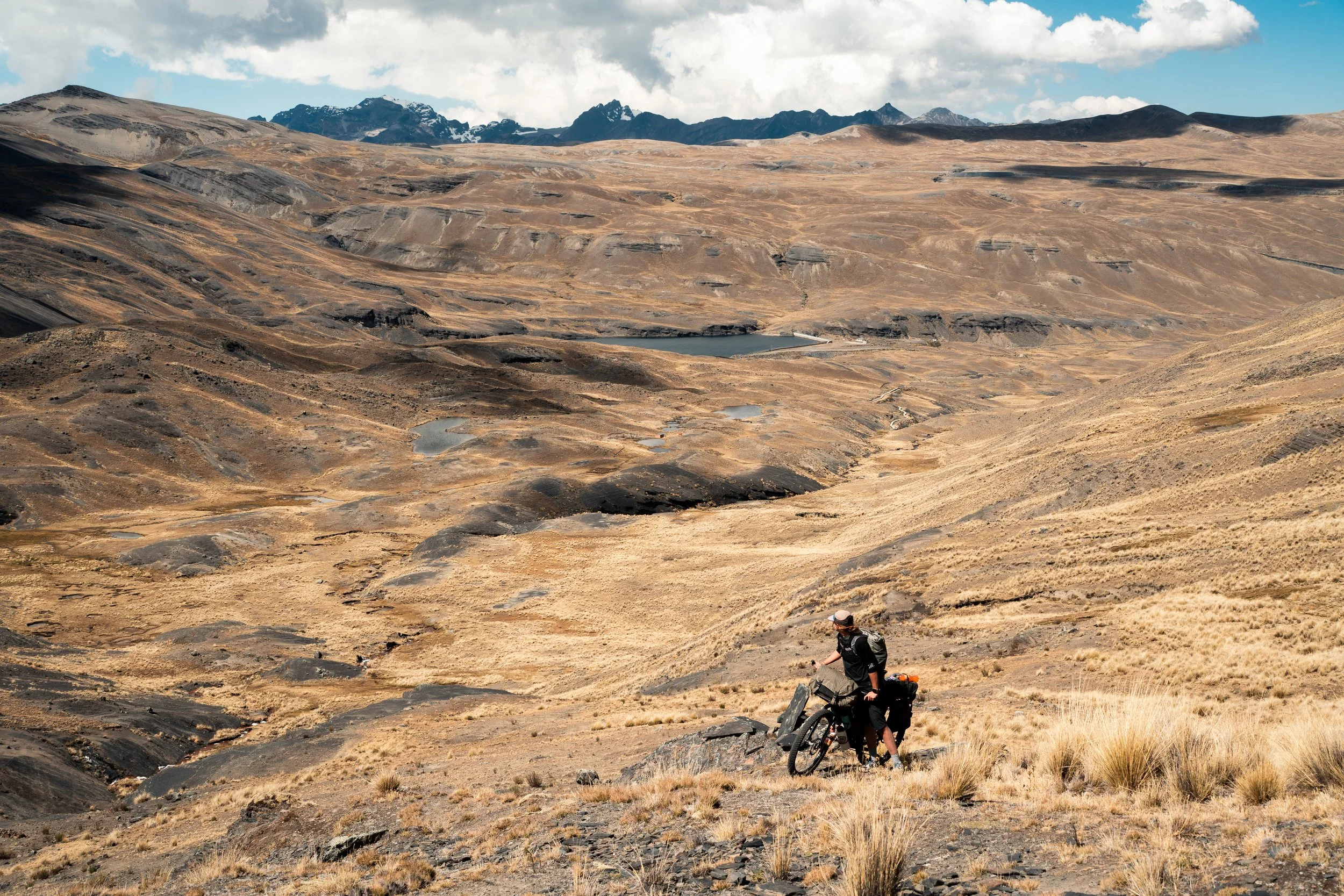
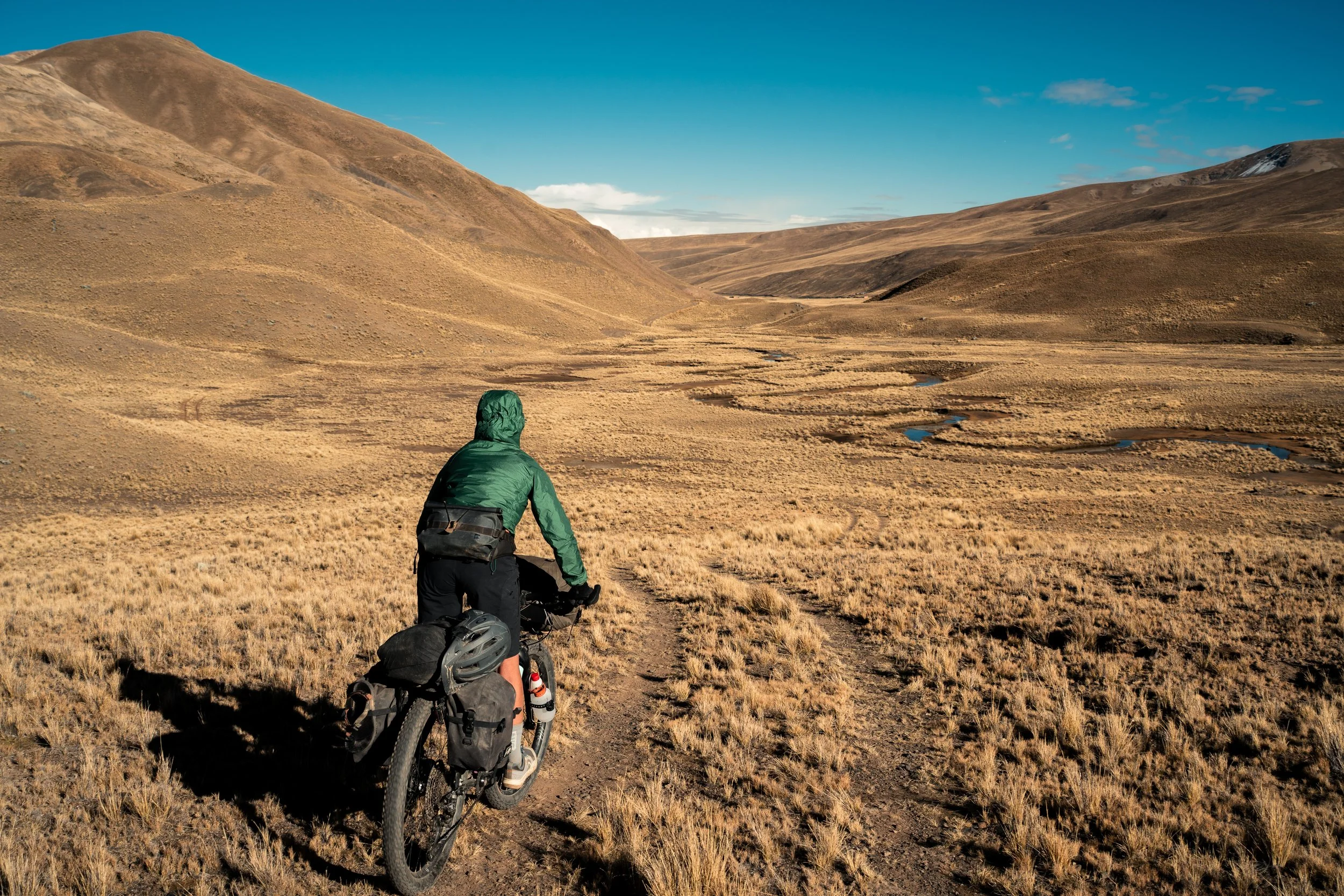
It was a gentle climb to start, winding over and around small hills. The road soon ended, high on a tussocky bluff overlooking a dam. There were no tracks, so we scrambled down the steep slopes, before picking our way over a few streams. With no-one around, we crossed on the dam itself. Overgrown double track led up the valley on the other side. It wasn’t long before we found ourselves having to push the bikes through the shrub. Unfortunately for us, there was still 1km until the upcoming hike-a-bike actually started.
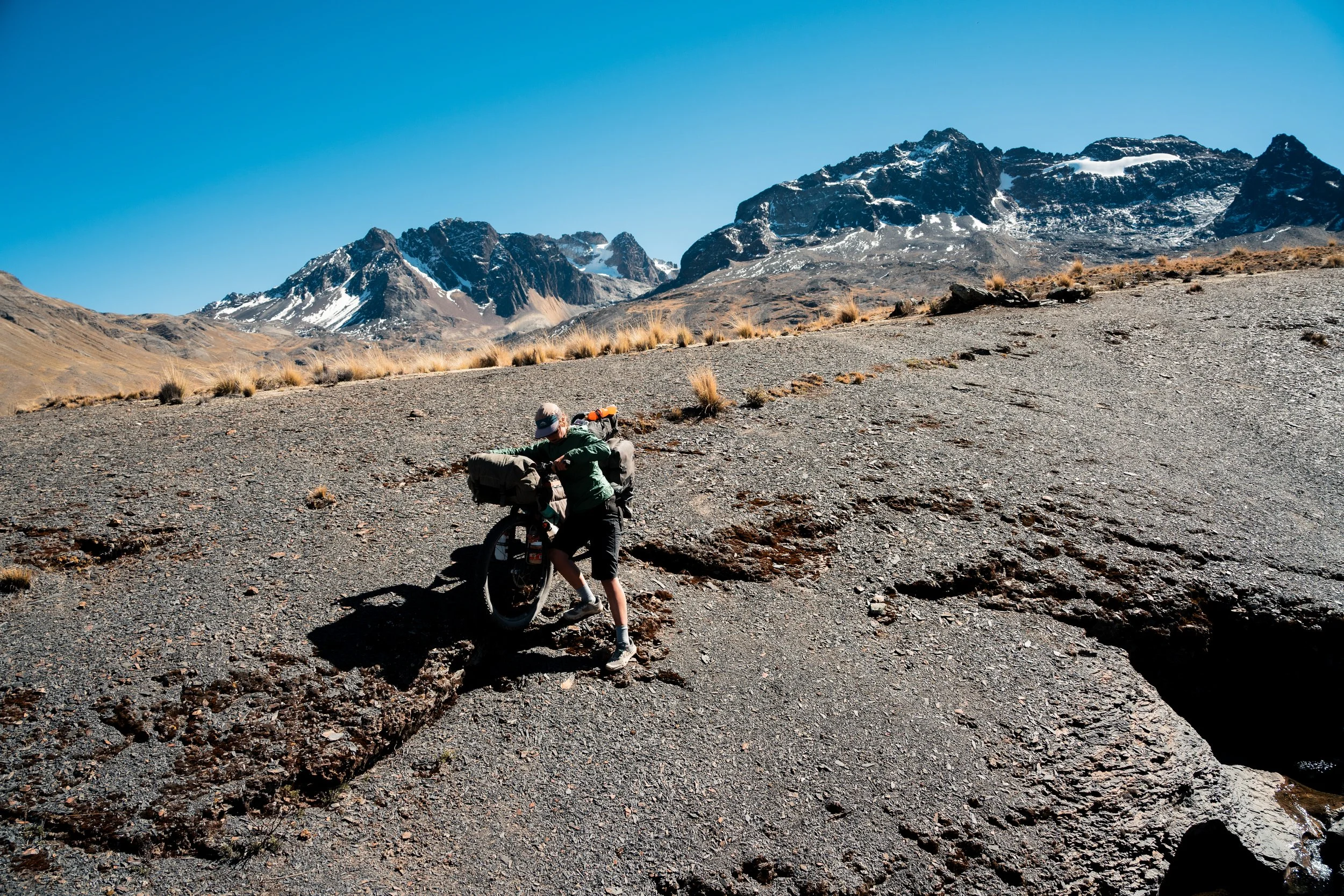
At the appropriate mark on the GPS, we looked to our left. There was a 2m high steep embankment, and a series of rocky outcroppings, with nary an animal track to be found. Realising this didn’t bode well, we heaved our bikes up, and began pushing. Through thick tussock, rocky gullies, and the steep slope we made slow progress, zig-zagging upwards, hoping to see some sign we were on the right path. After a couple of hours of this, we neared the top, and it ever so slightly eased off. The wind was roaring at the top, so we didn’t stop for long and quickly descended the other side.
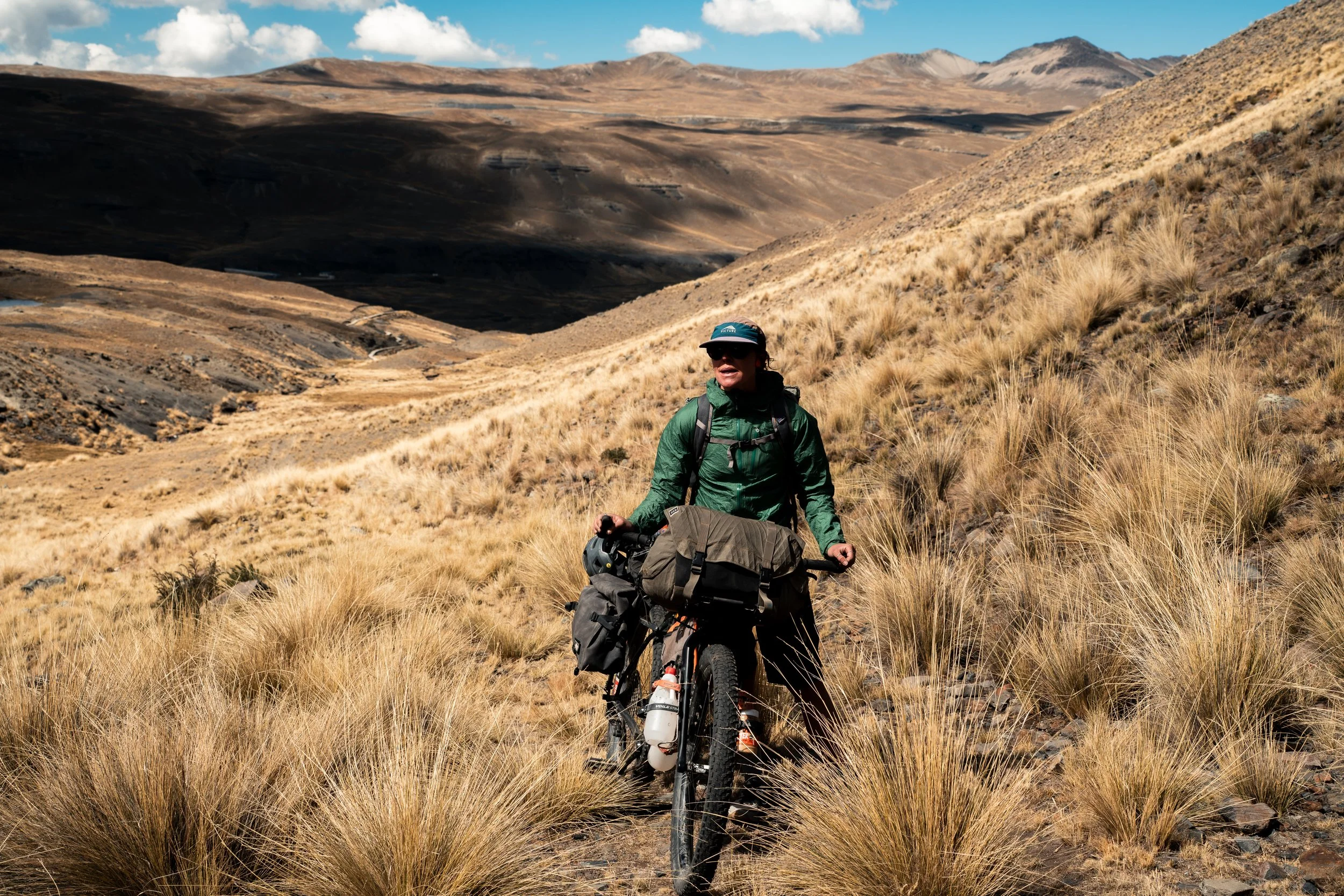
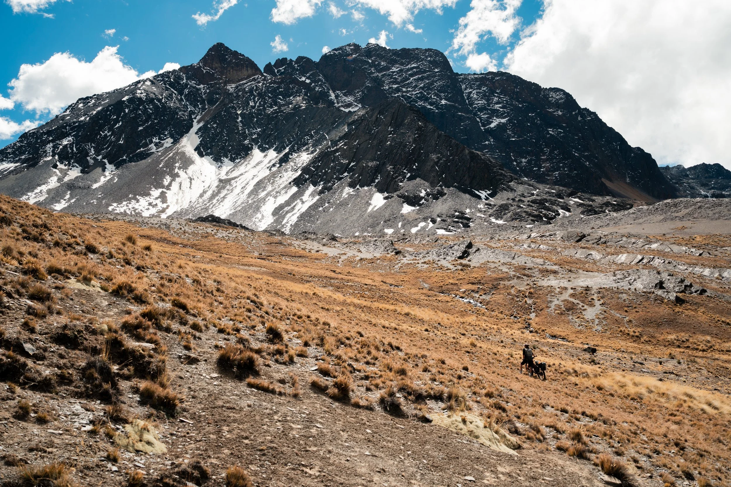
A man waved as we approached the road; we had seen him walking up as we descended. We got the usual few questions about where we were going and where we were from, before he said we needed to pay 20 Bolivianos each for the use of the road. What? We tried to explain that we clearly hadn’t used the road as had descended from the pass, that we were on bikes not cars, and we weren’t going further up the road to visit the glacier (that the road was apparently for). He wasn’t having a bar of any of our arguments, and we begrudgingly finally paid the man, ensuring that we got a receipt.
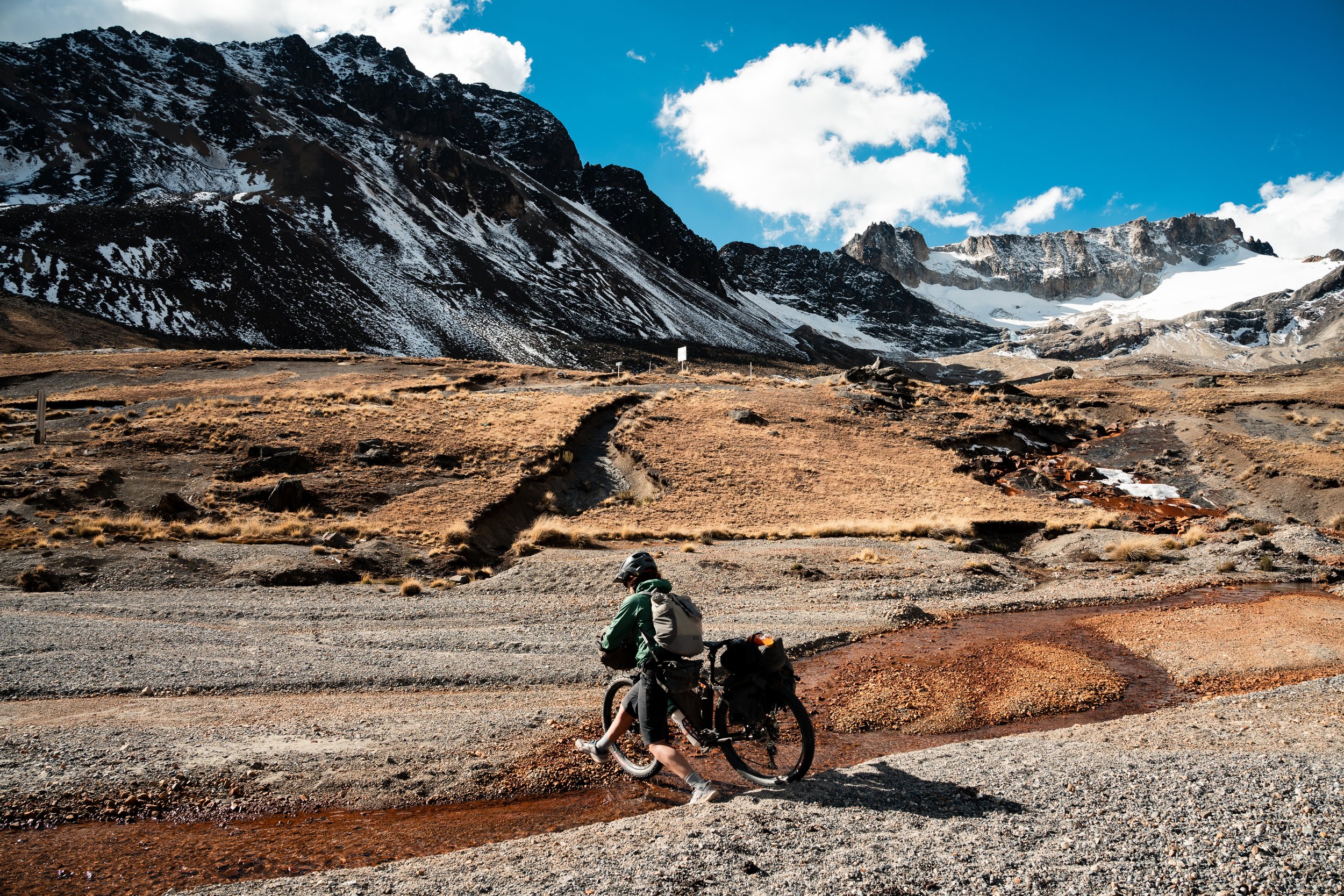
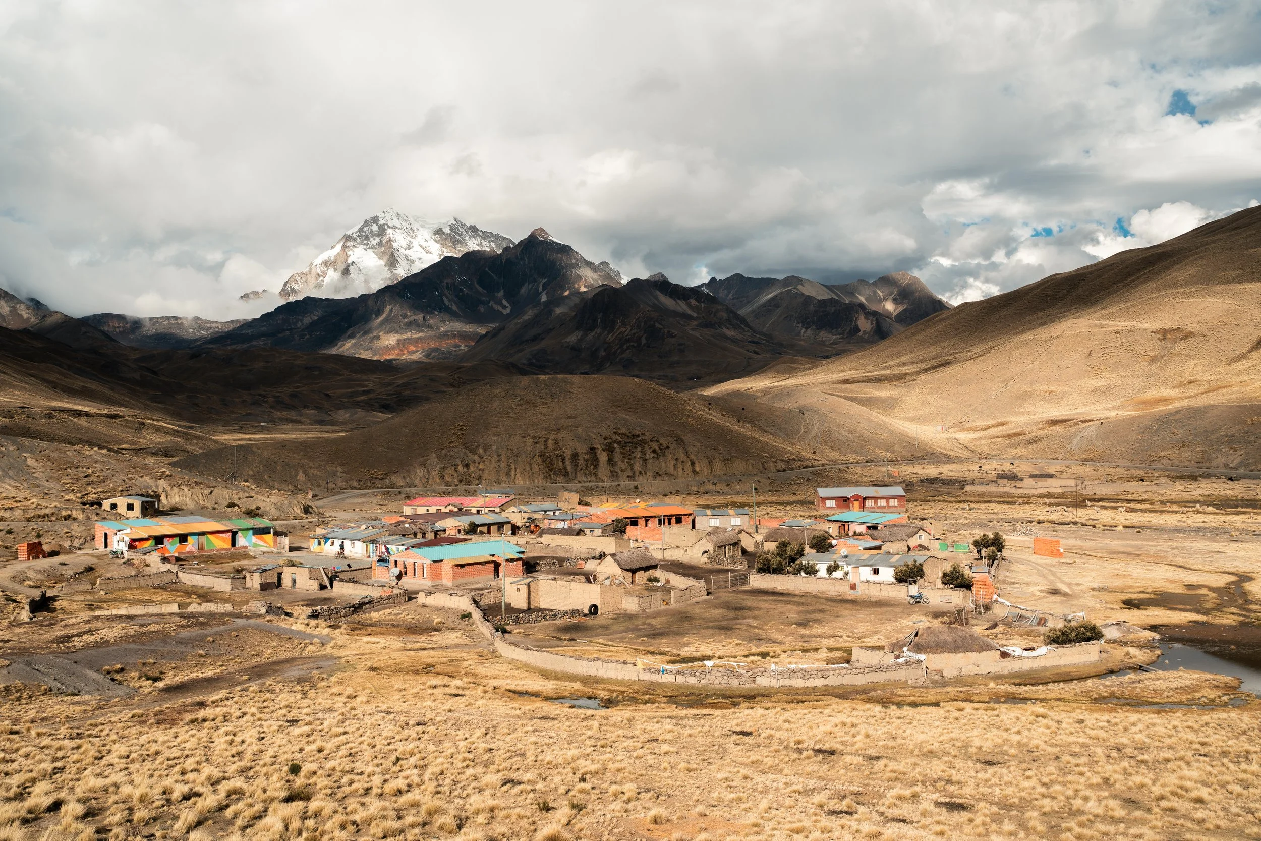
After descending the valley, we climbed to the mountaineering basecamp of Huayna Potosi, a popular 6000m mountain to climb near La Paz for tourists. It was getting towards sunset as we approached, and a small elderly man joined us for the last hundred meters. He again made polite chit-chat, but once we got to the edge of the village, said we needed to pay 10 Bolivianos each to enter, even though the refugio we wanted to stay at was about 10 metres beyond. We again begrudgingly paid the fee, before getting a room at the refugio. Thankfully they were able to prepare us some dinner, with a pre-meal of some breadrolls and hot water, a luxury rarely seen in Bolivia where paid hospitality is often spartan at best.
On getting up in the morning, we were told that breakfast would be at least another 45minutes. We read our books, and eagerly awaited what must be something special to eat. To our frustration, the breakfast was the same bread rolls and spreads we had left on the table the night prior, and some hot water. The only difference being they had added a third roll to the table. We waited for quite some time, expecting that there must be something else coming out, before resigning ourselves to a late start with nothing to show for it.
The ‘Fun Traverse’
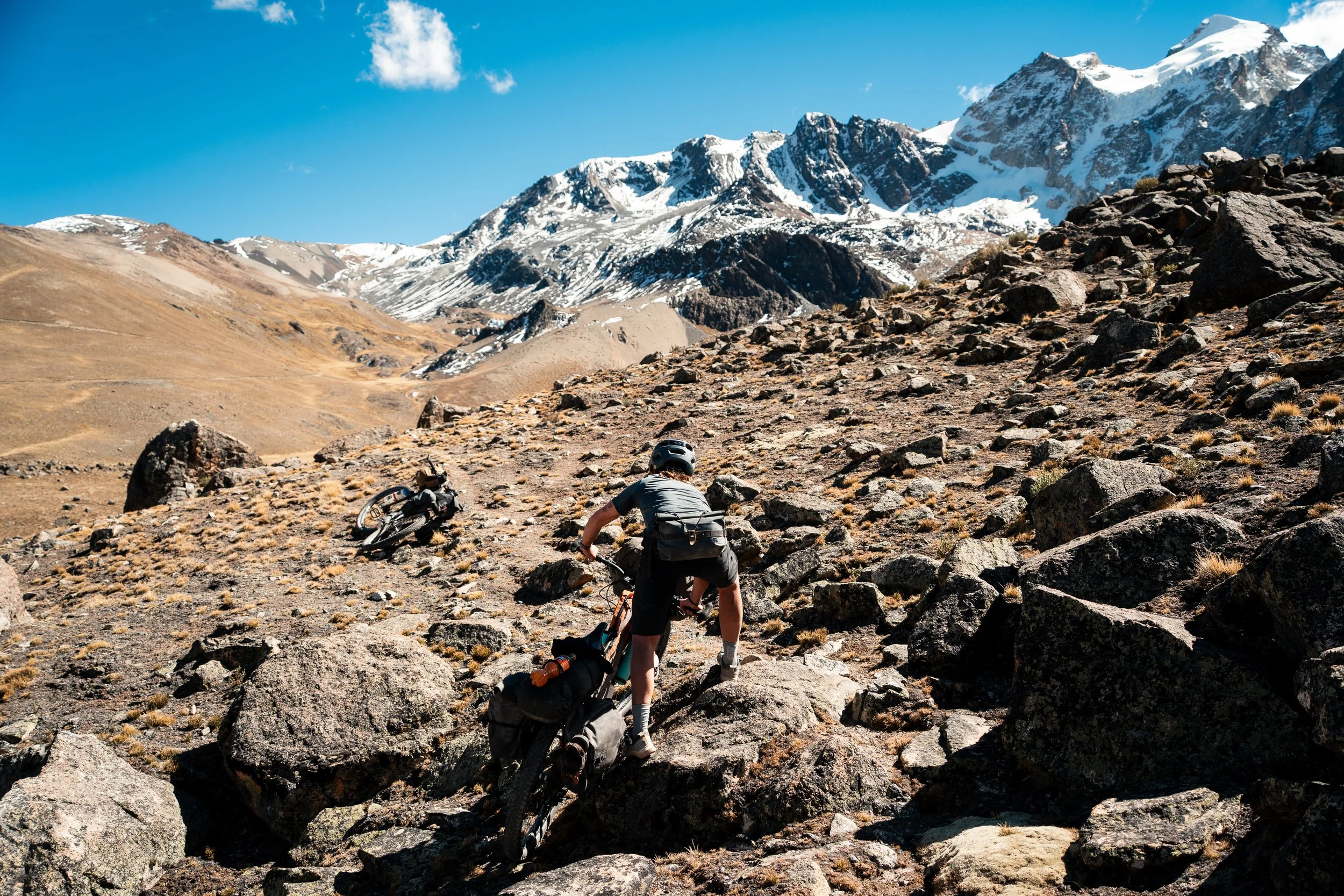
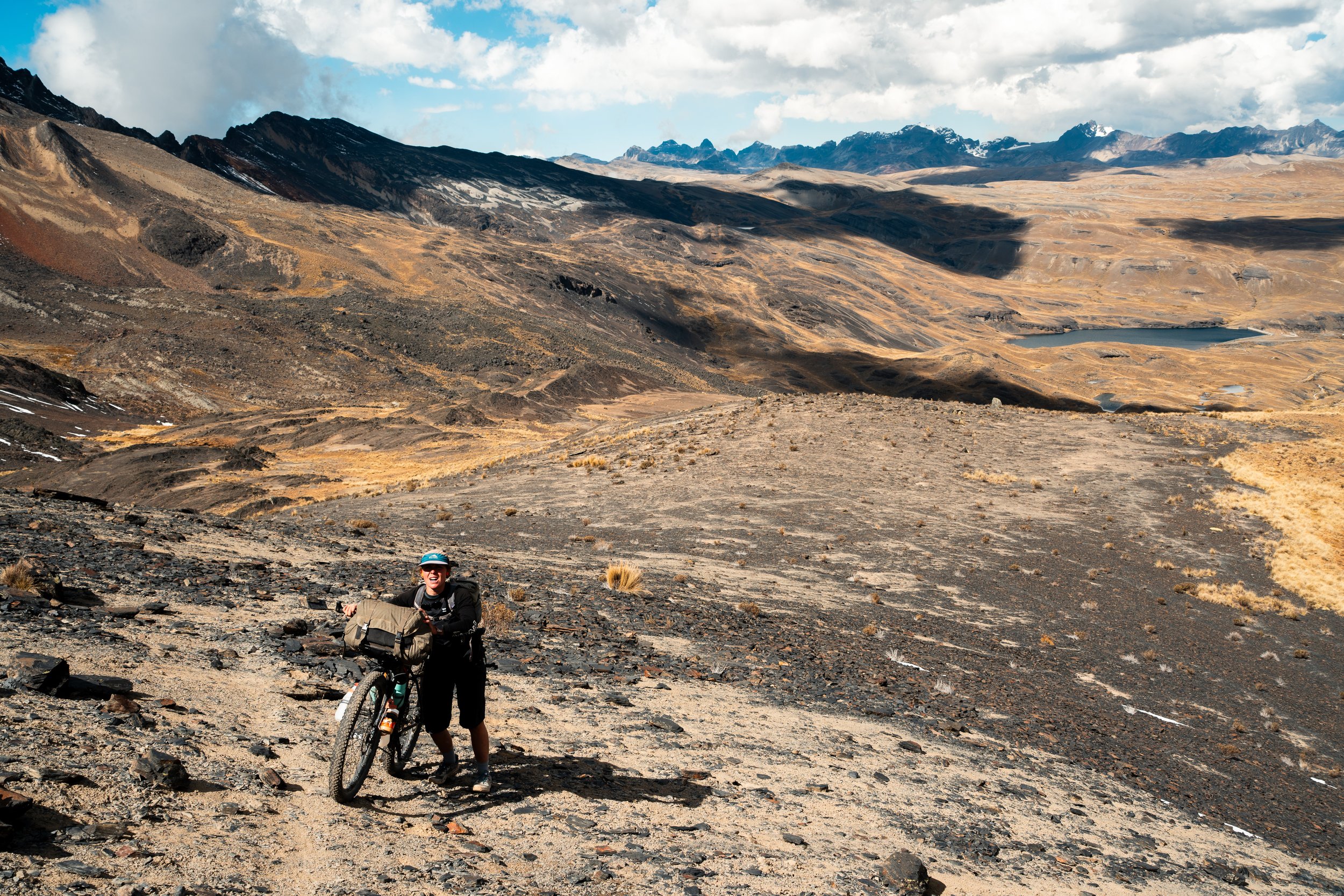
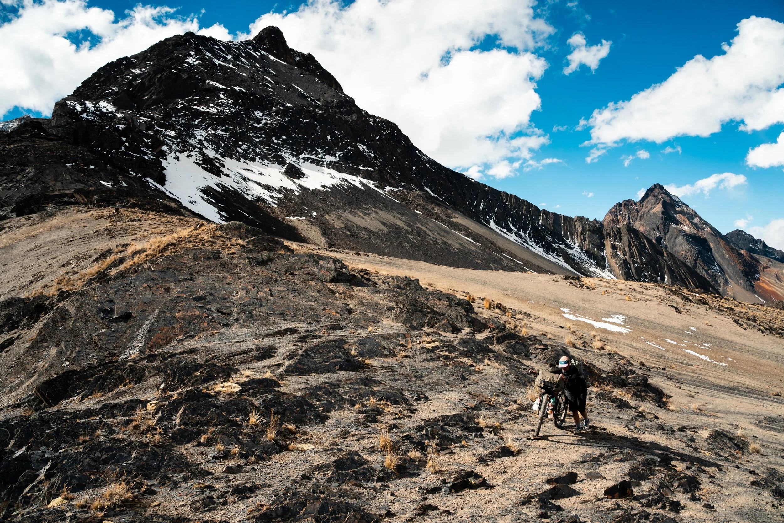
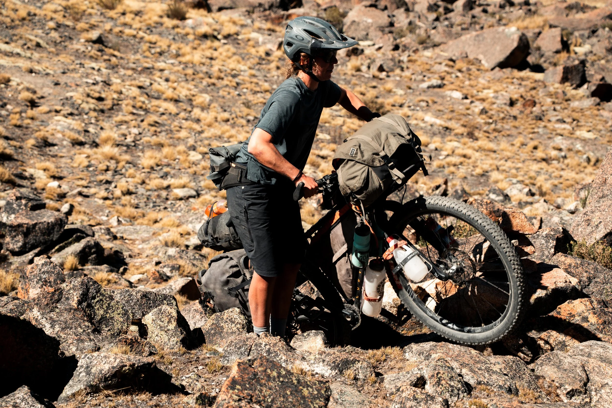
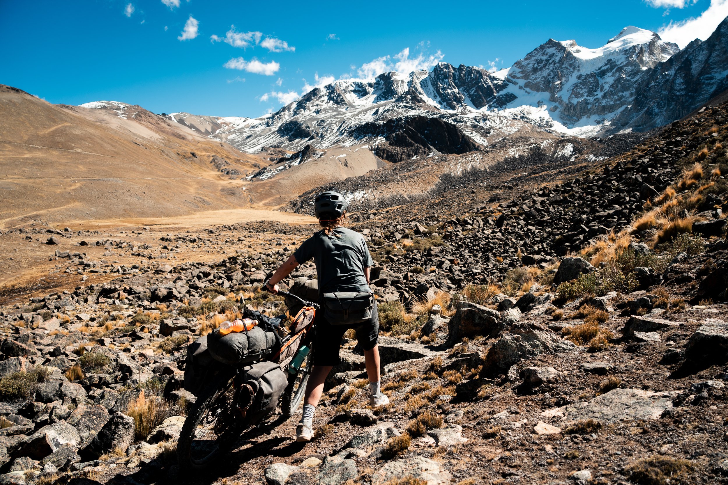
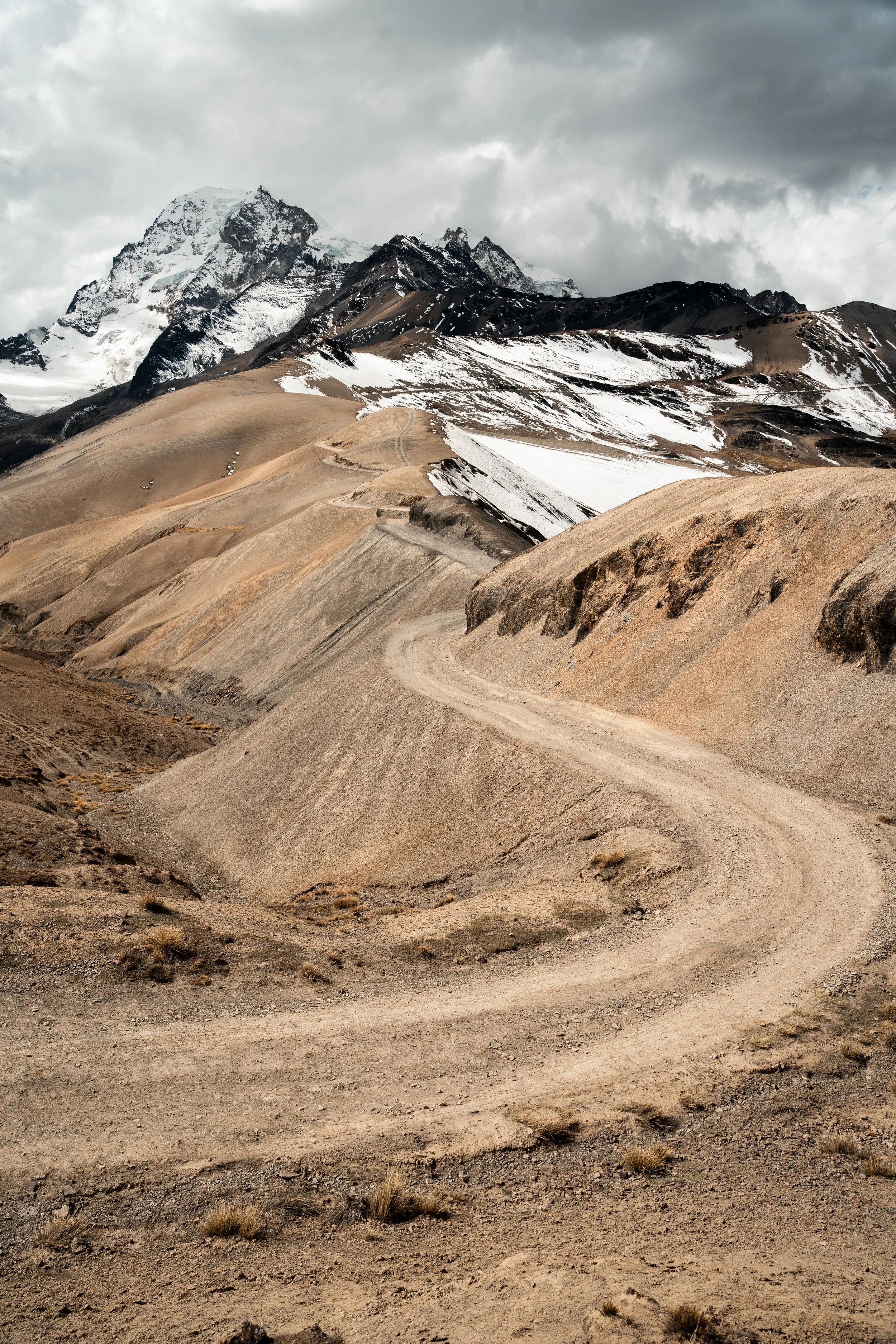
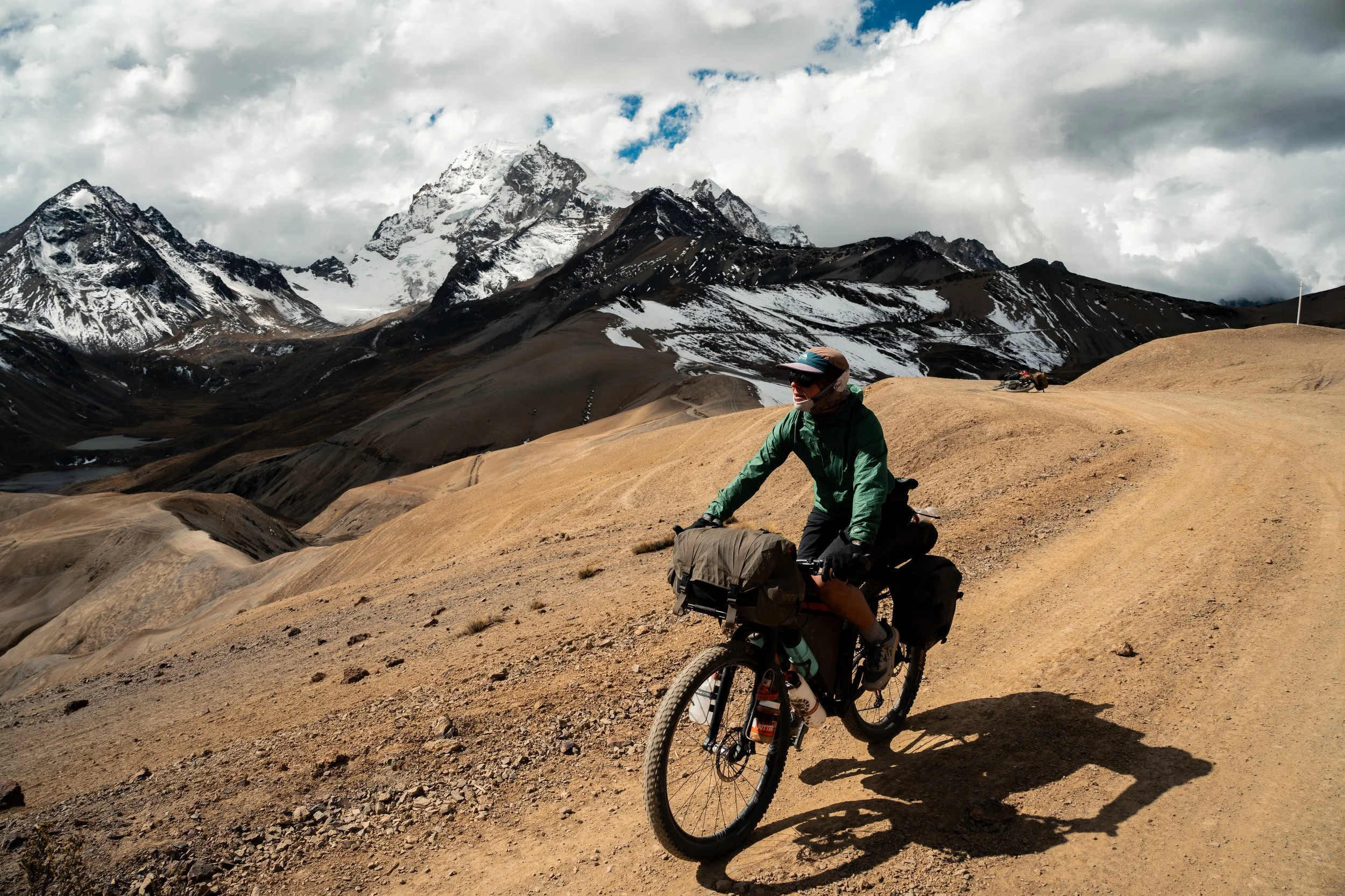
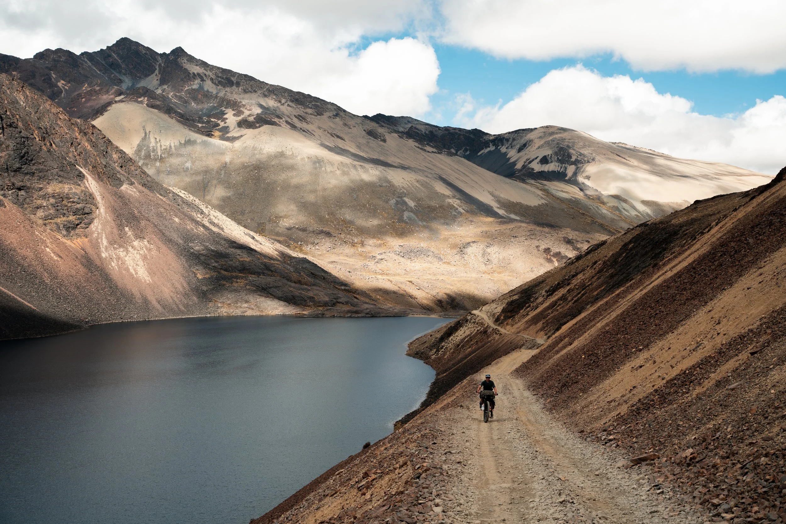
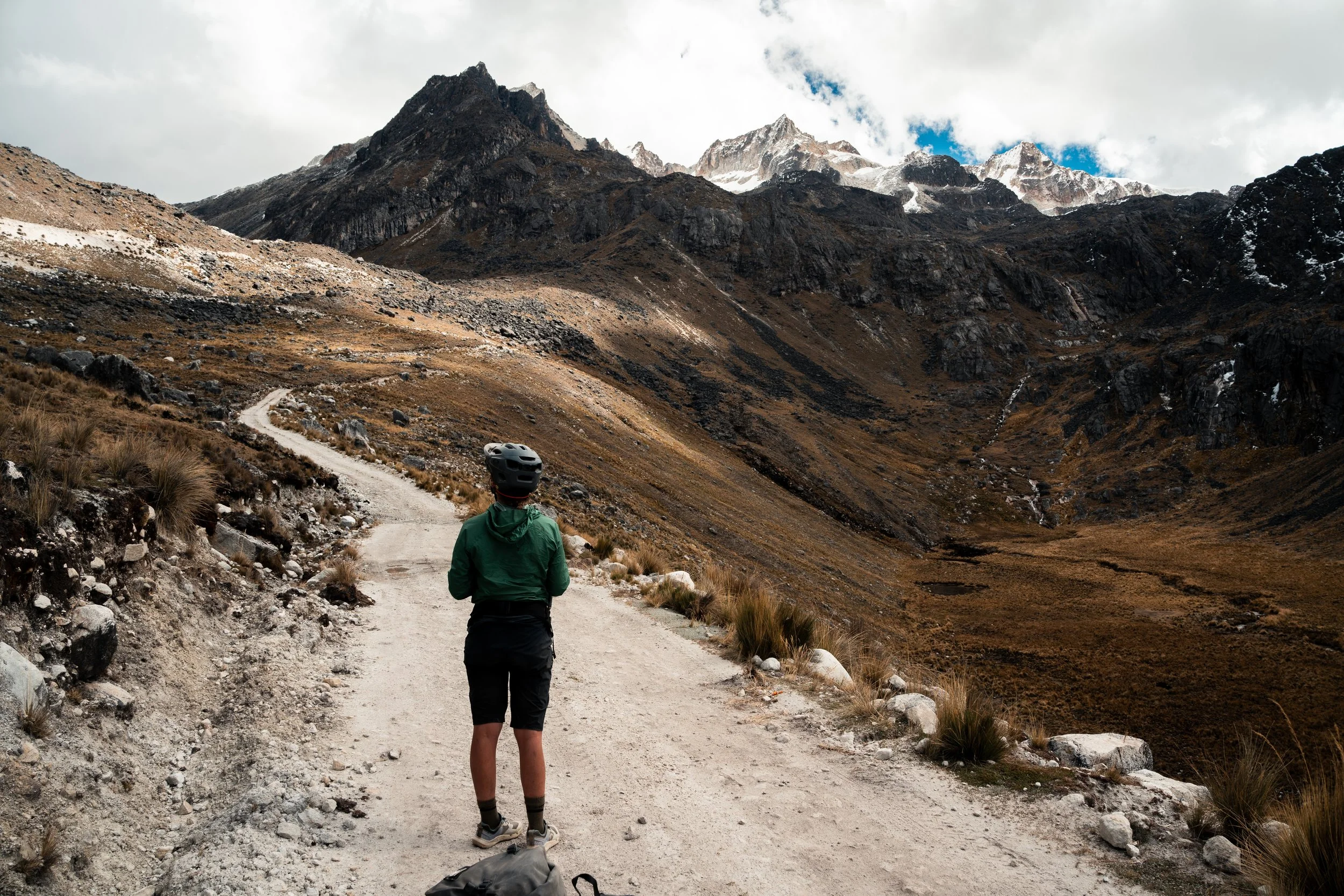
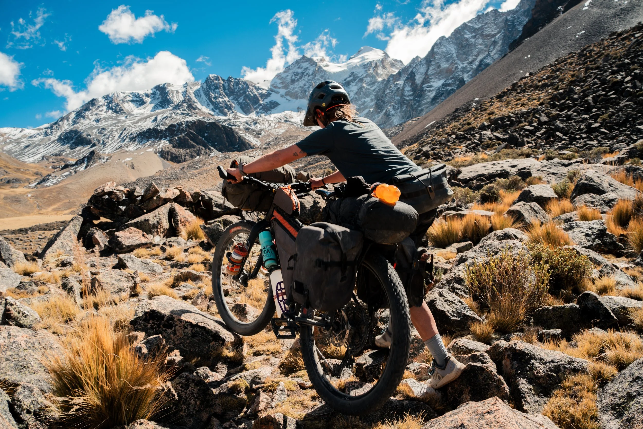
The route promised a ‘fun traverse’ to start the day before a climb to another 5000m pass. We followed the track off the road, onto a narrow llama path alongside a small lake. After crossing the valley and pushing uphill through more tussock, we reached the ‘fun traverse’ waypoint, only to realise it was a narrow, uphill trail along a steep scree slope. We pushed up, and wondered if it would have been fun in the other direction instead, before coming to a boulder field. This was downhill for us, and the pushing and lifting of the bikes wasn’t too bad, but I don’t think would be worth the uphill effort for the descent on the other side. A final scramble up more tussock slopes brought us to the jeep track running over the pass. A guide at the refugio told us this was completely buried in snow a week prior, but was now clear.
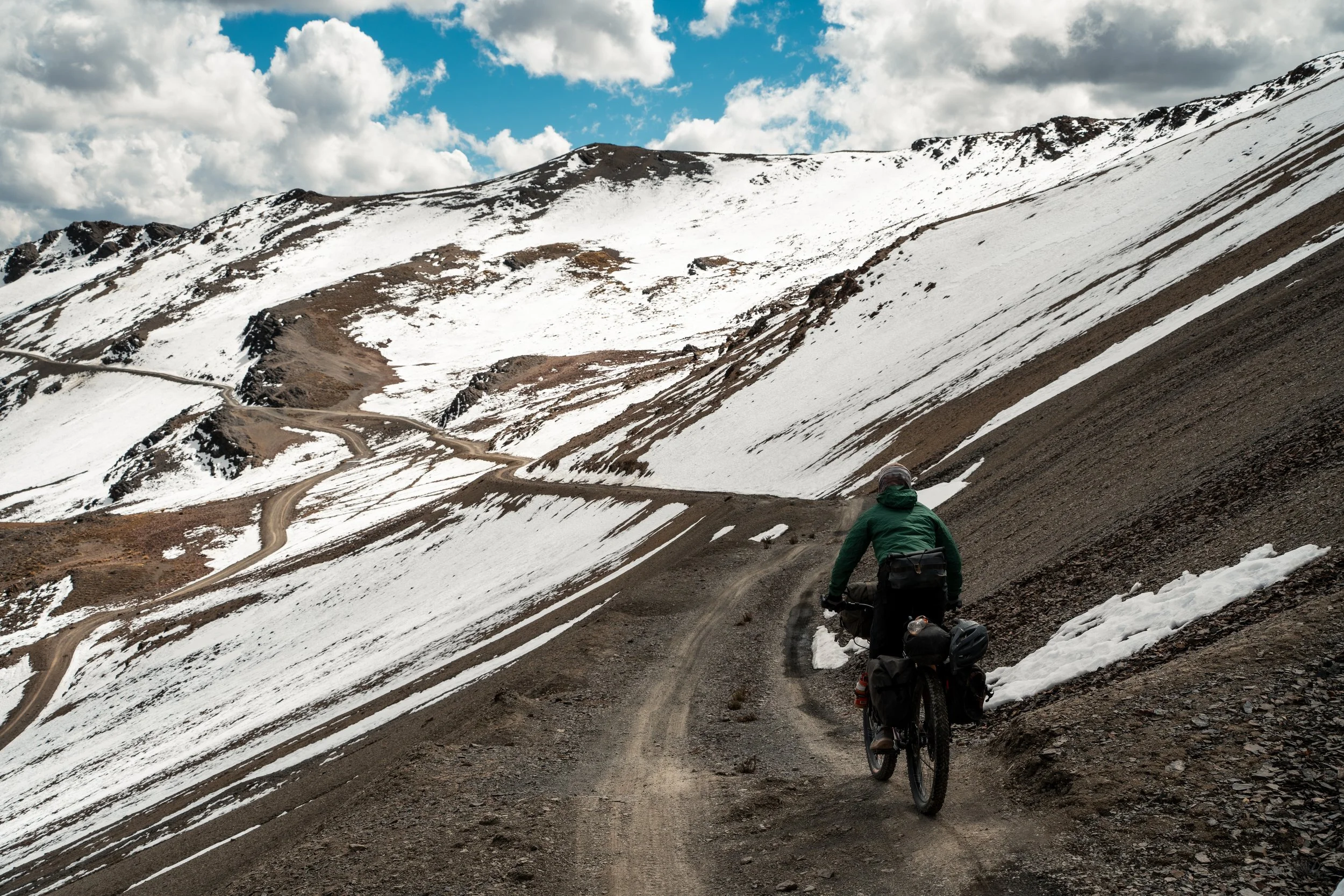
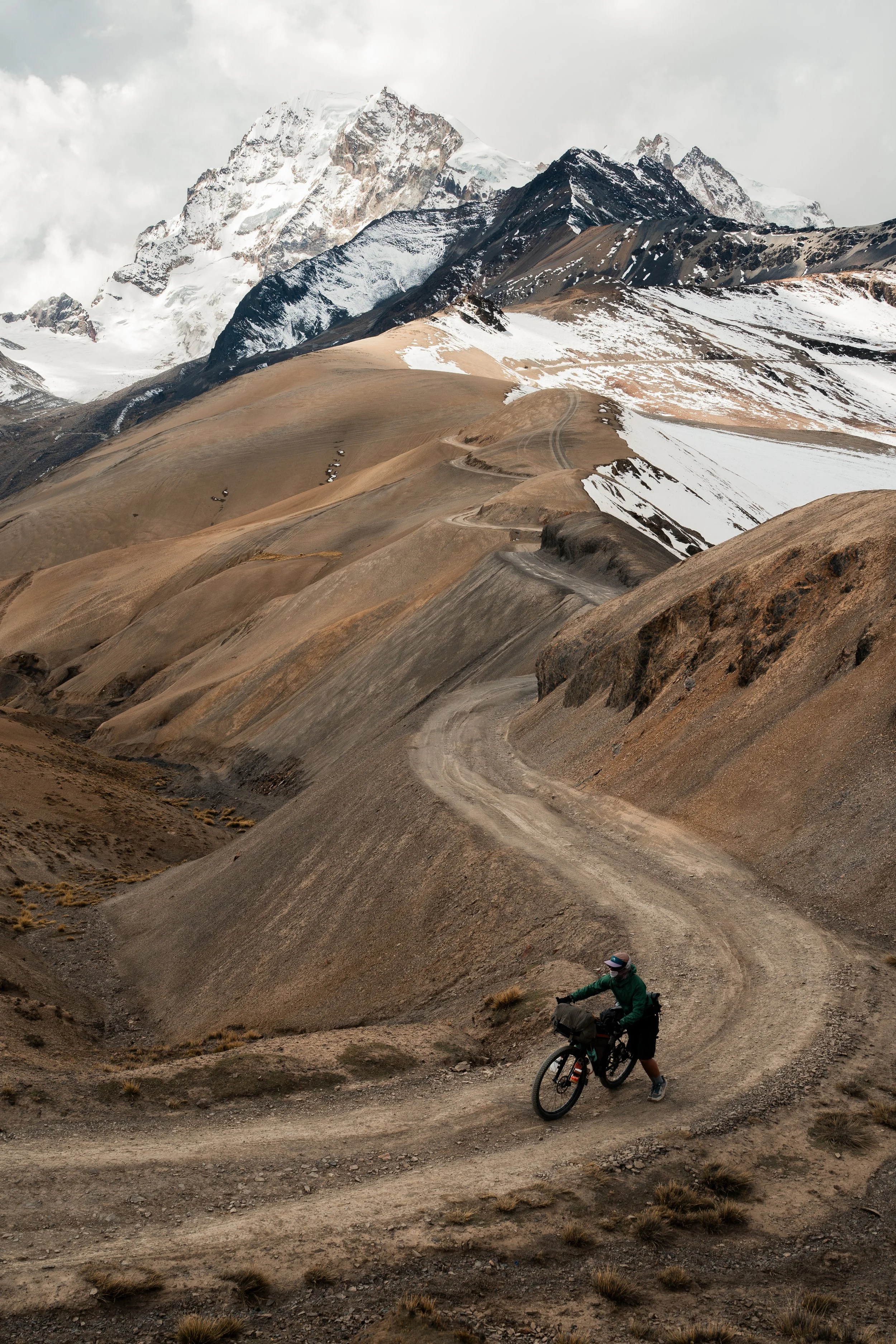
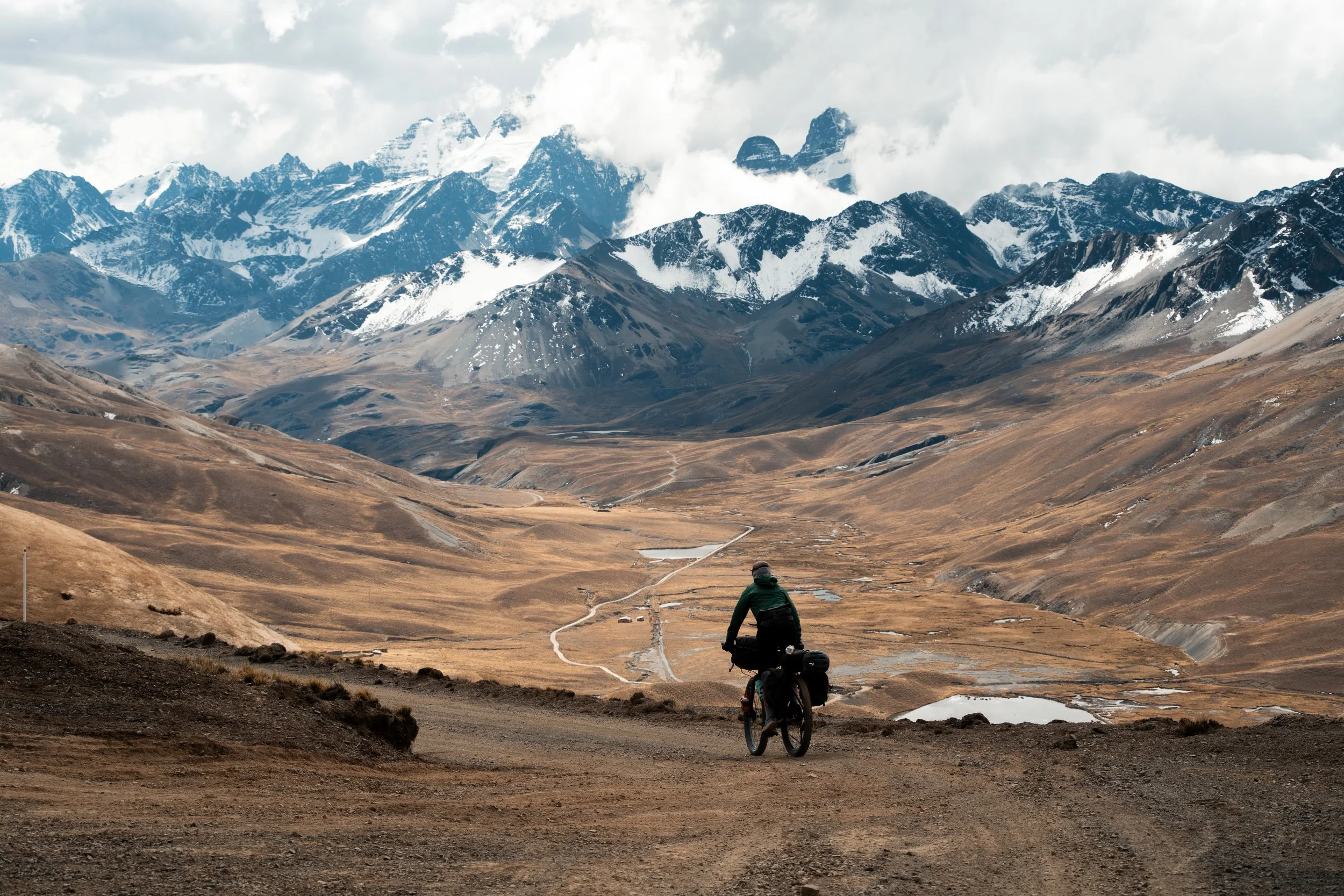
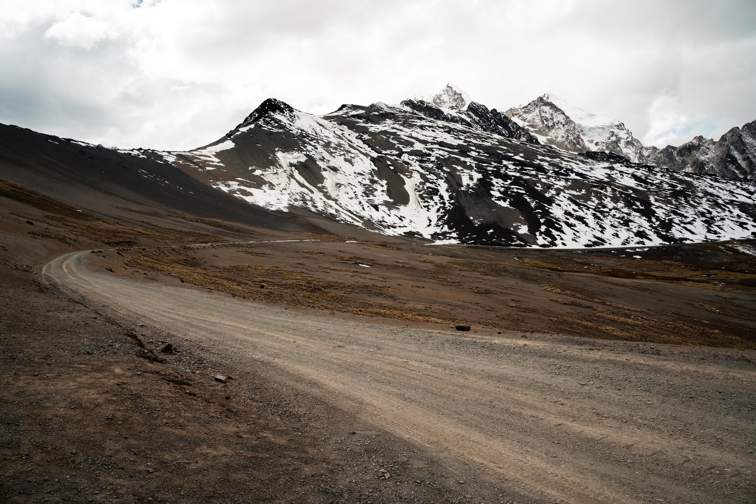
Descending the other side, clouds began to roll in. We last saw rain whilst riding only 4 days into our trip. Clouds pushed up against the mountains from the east, and whilst threatening, never made it over in any quantity. We cruised down the pass and then the valley, past farms, and what looked like an abandoned power plant. A small village called Tupi was at the bottom, and we were able to score a late lunch at Alberge Tuni, an ecolodge run by a mountain guide, with hundreds of guinea pigs running around. We would gladly have stayed the night, but wanted to press further onwards, so made camp a little ways down the road on the shore of Laguna Tuni.
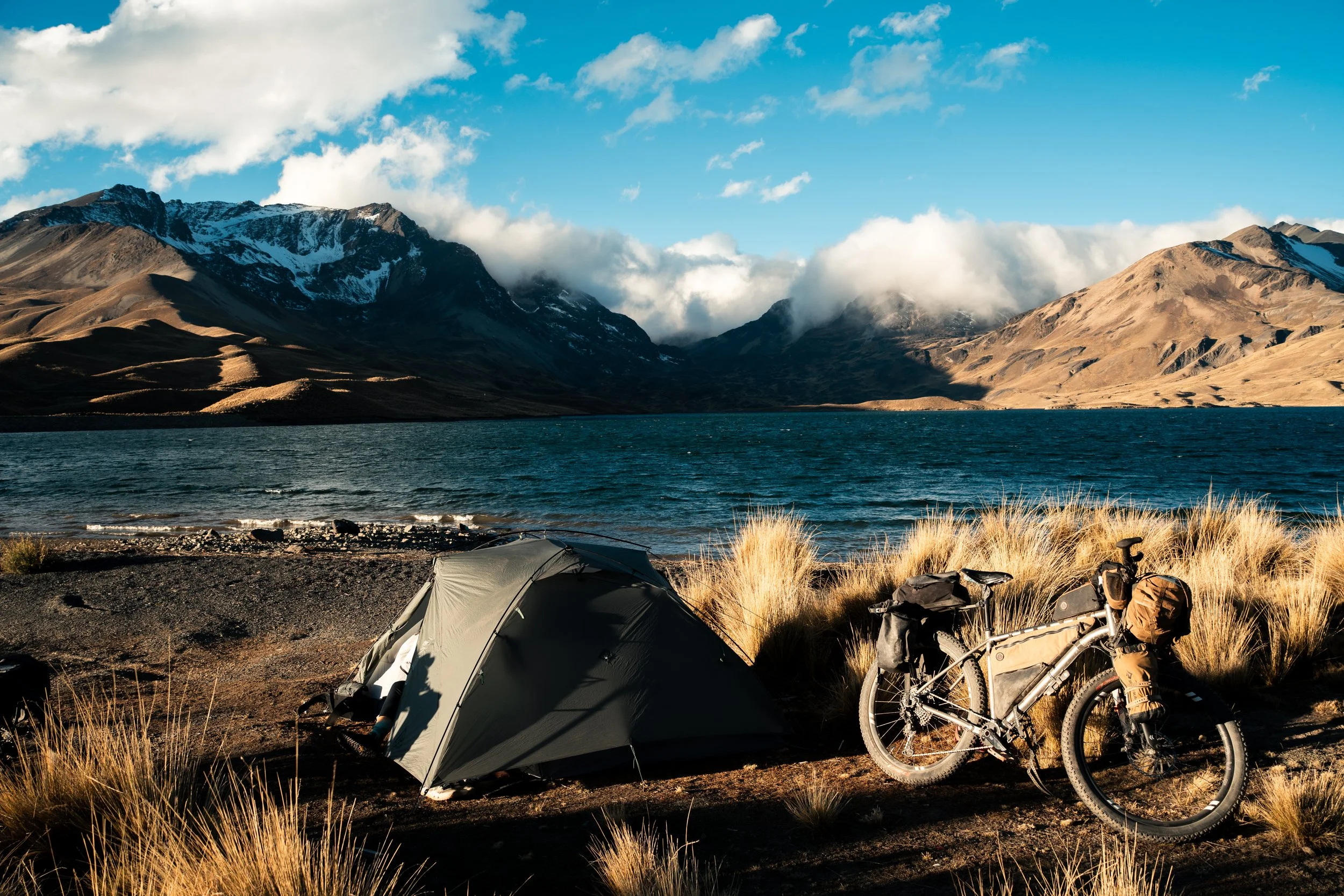
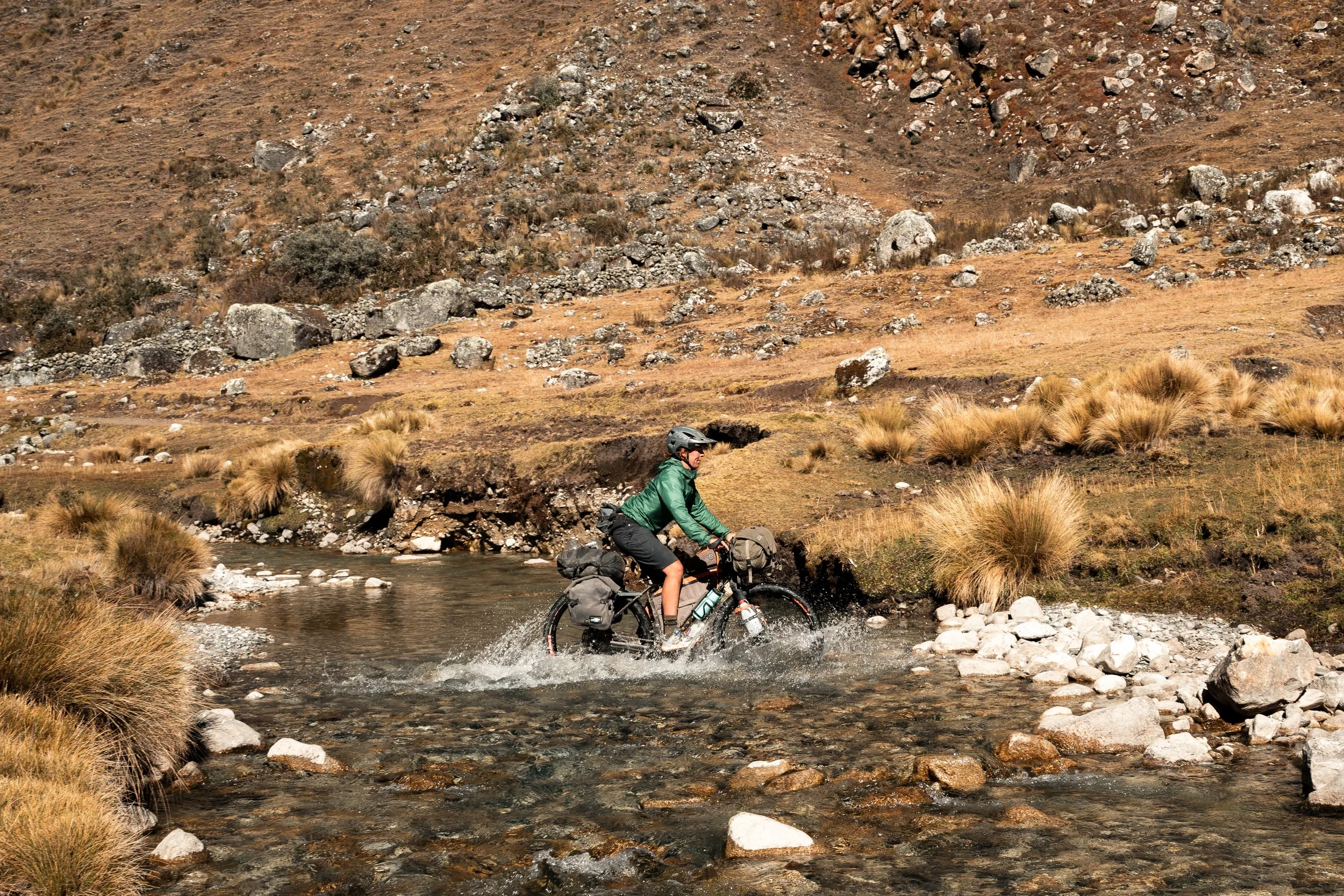
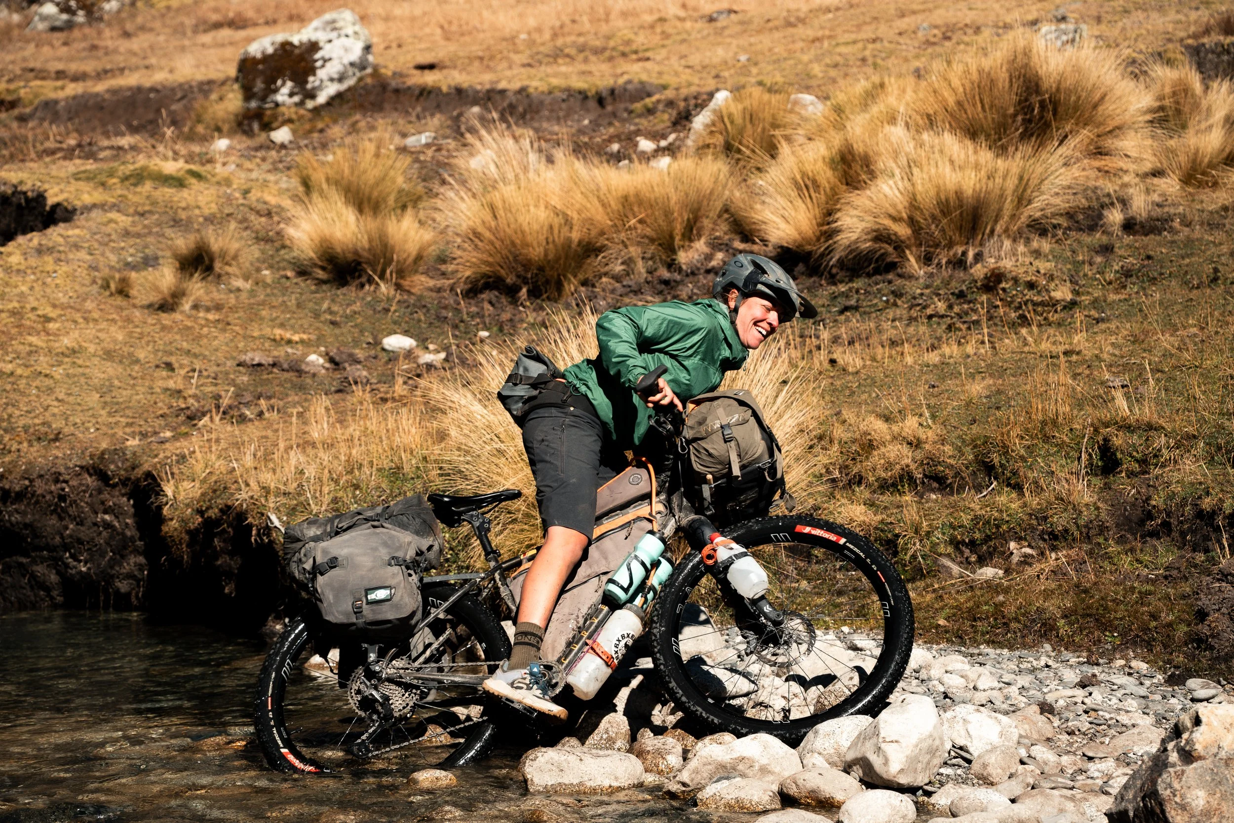
Overnight we had a sprinkling of rain/snow (our first of the trip), and by morning the tent was frosty, and aggressive looking clouds were still trying to spill over the mountains. We passed more remote llama and alpaca farms as we climbed around multiple quebradas (mountain valleys). Finally reaching the open slopes above the Plano below us, we pushed the bikes across and up tussocky slopes, and over some barbed wire fences. Here, the Andes loomed on our right, and the flat expanse of the altiplano was to our left, with small glimpses of Lake Titicaca visible.
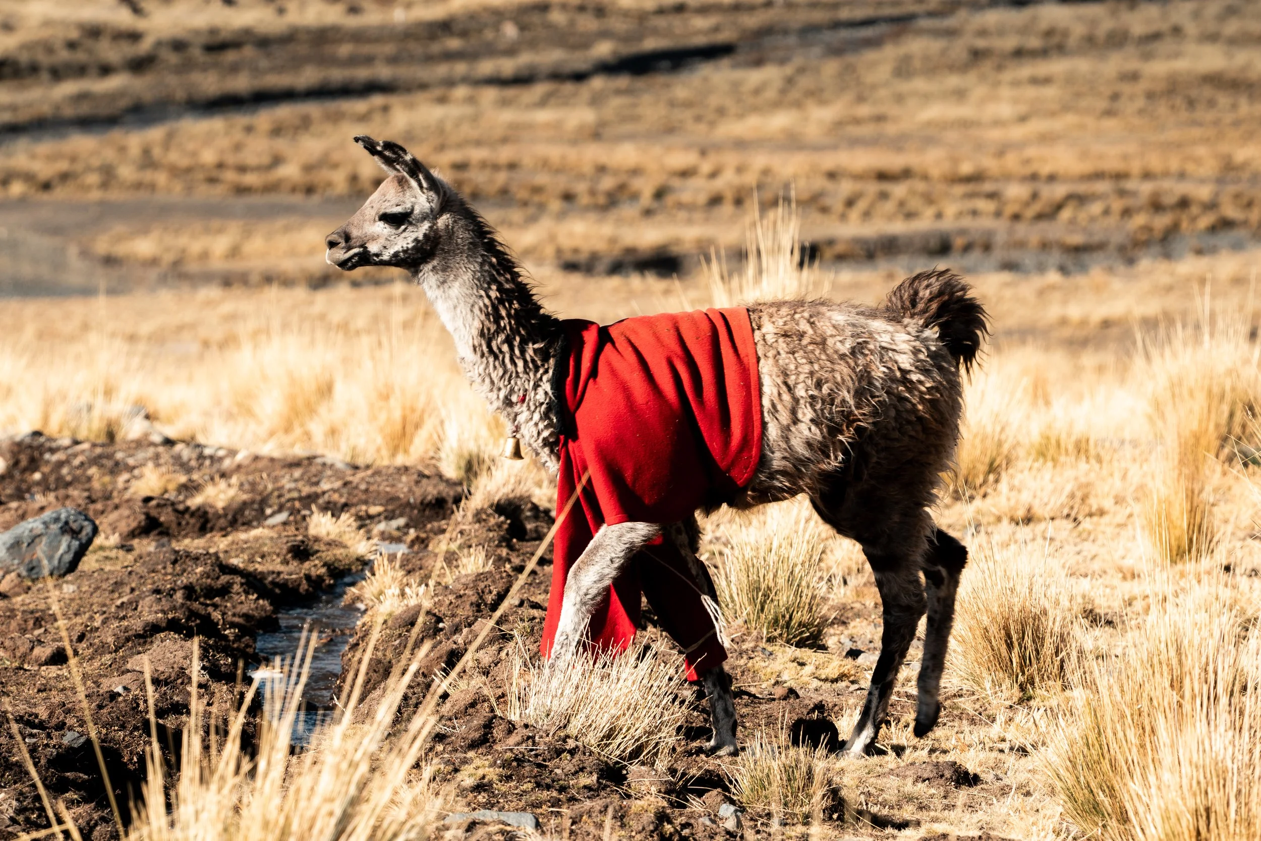
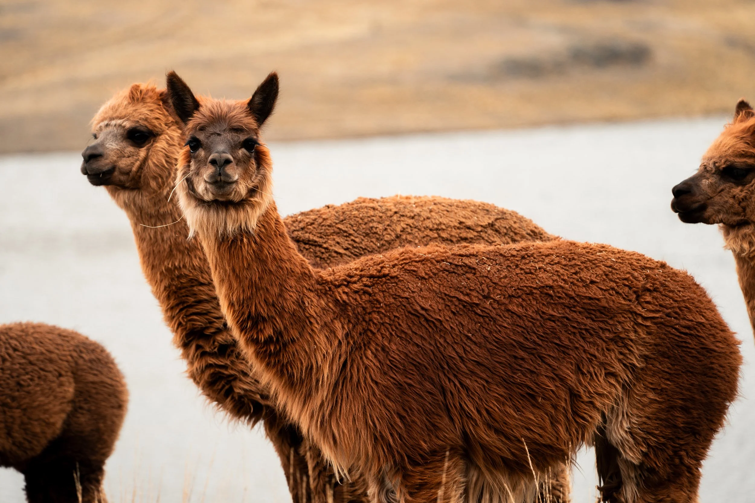
We saw a lot of llamas with earrings and tassels, but this was the first with a sweater.
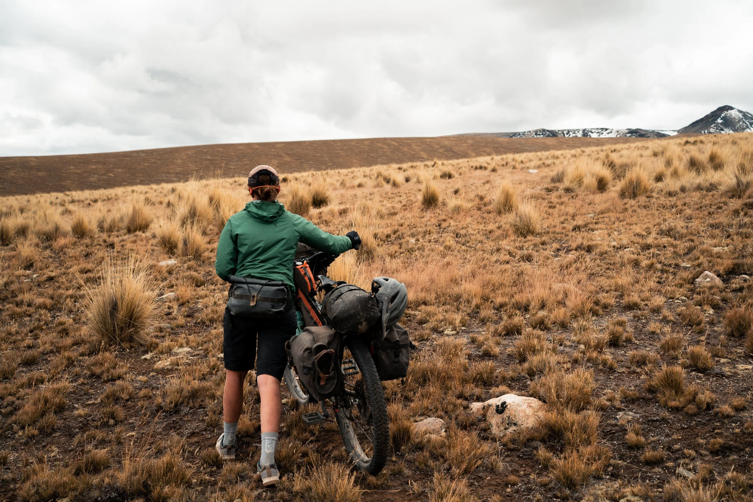
A lot of pushing up and through tussock.
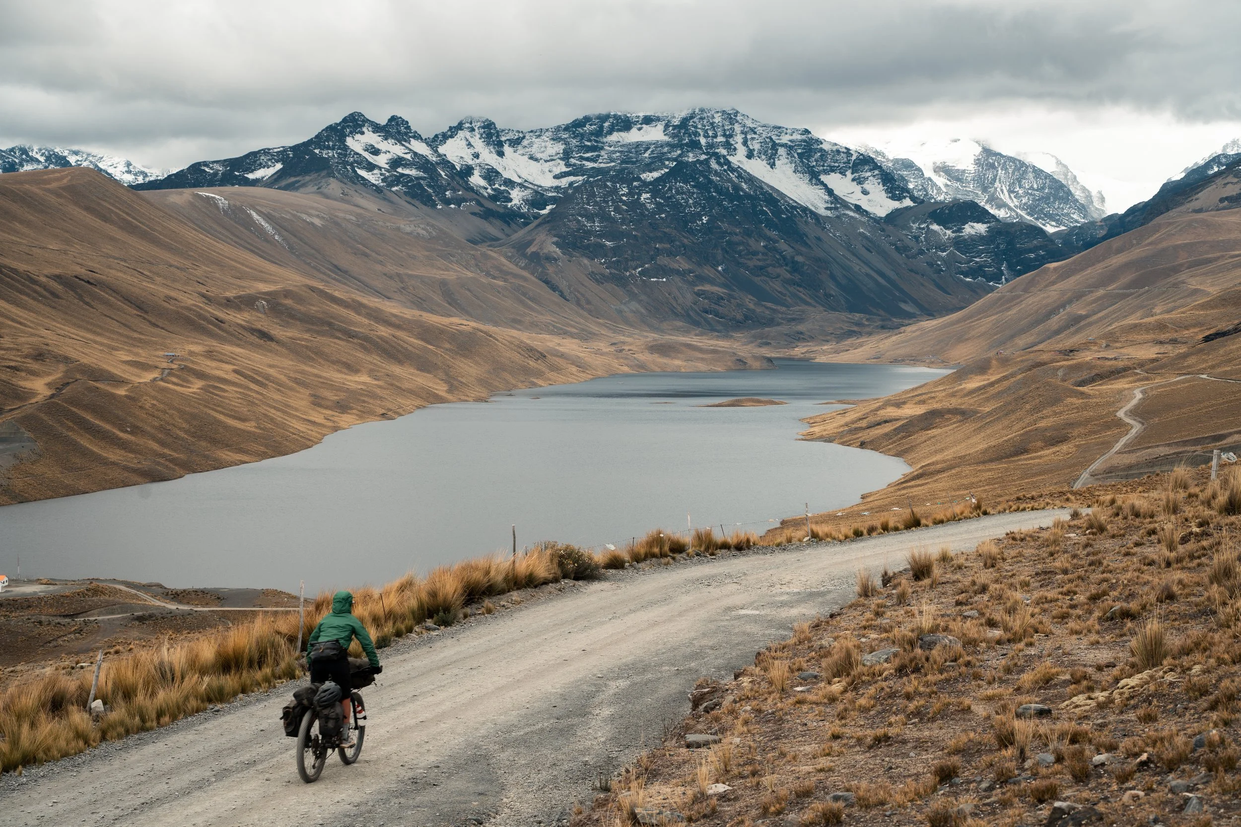
Just as we were figuring out how we might drop down into the next valley, we saw a gravel road in the vicinity, so followed it. Much to our surprise, there was now a dam blocking the river, eliminating what we had thought would be a marshy river crossing. We followed the road down and up the other side of the valley, and it continued across into the next valley. It was a gentle downhill next to Laguna Sura Khota as we headed up the valley, and we stopped next to some farmhouses for lunch. The farmer came up the road, and mentioned ‘this is my house’, before cheerily departing.
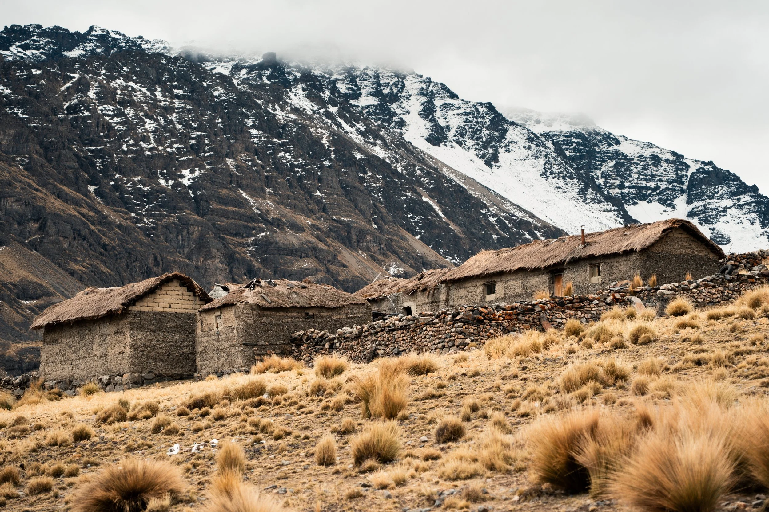
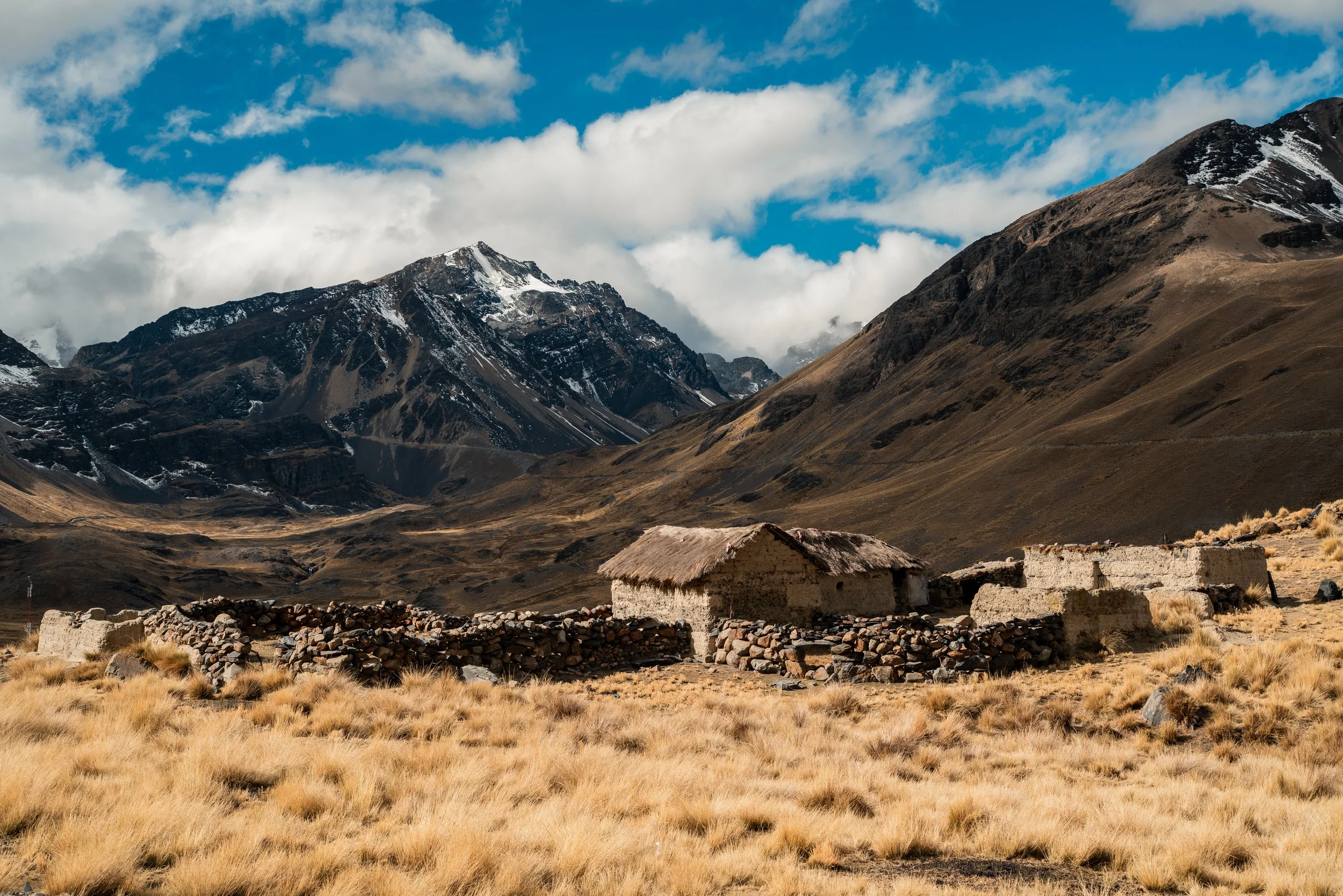
The man was proud of his farm. The views were spectacular.
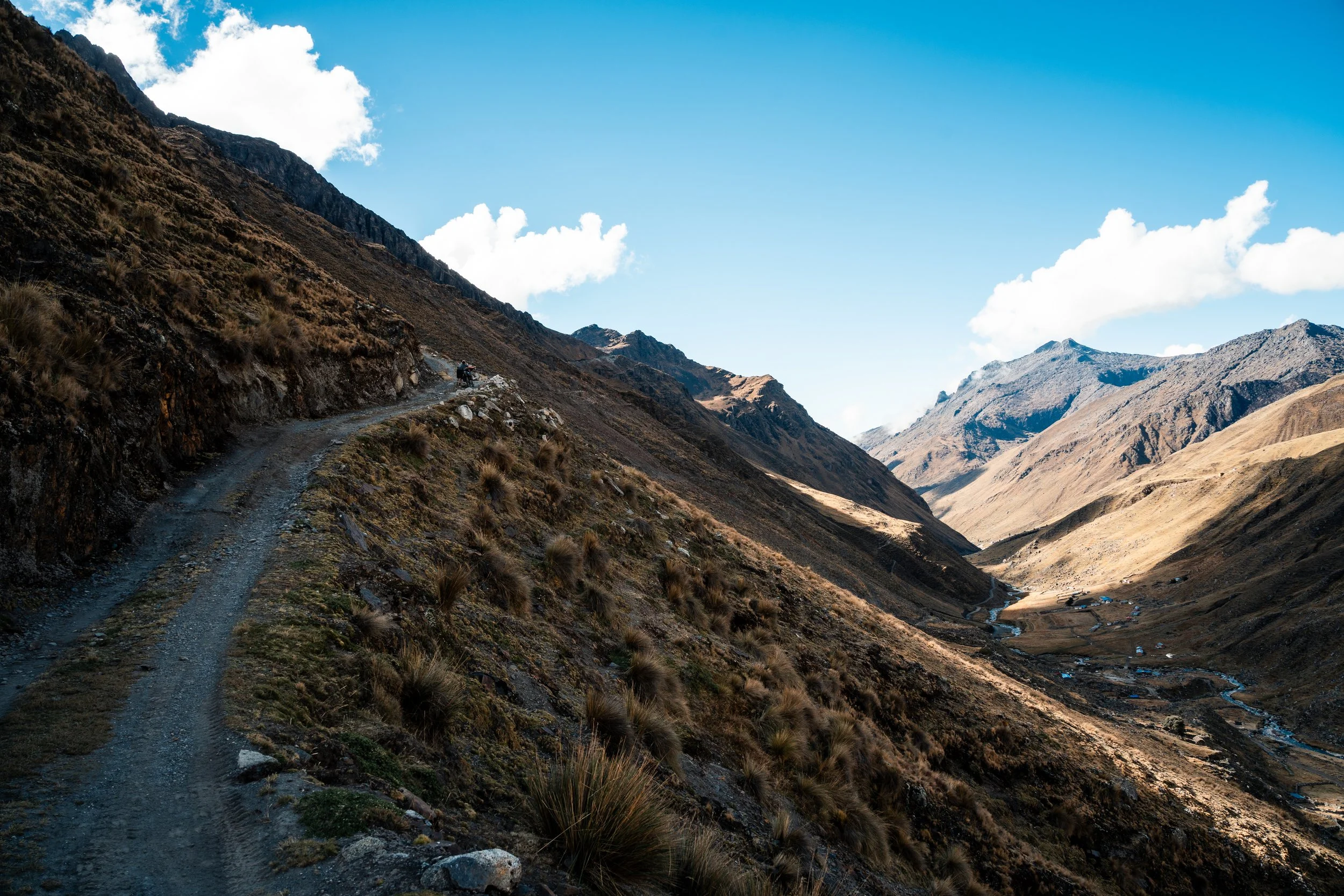
We had to cross the river, which involved climbing higher into the valley to find a suitable spot. Just as we reached the road on the other side, after climbing around a narrow path under some bluffs, we saw a man struggling with a motorbike. He looked exhausted. It seems his starter was broken, and he was trying to bump start it, but was struggling to push it up the hill. We helped push him up, and he took off, only to stall at the bottom. On the second time he left it to us to push, as he sat the effort out. I noticed at the top his throttle cable mounting was broken and loose, but managed to somewhat get it together so it would actually work. This time he skidded down the hill, but managed to avoid stalling, and took off down the valley without nary a wave.
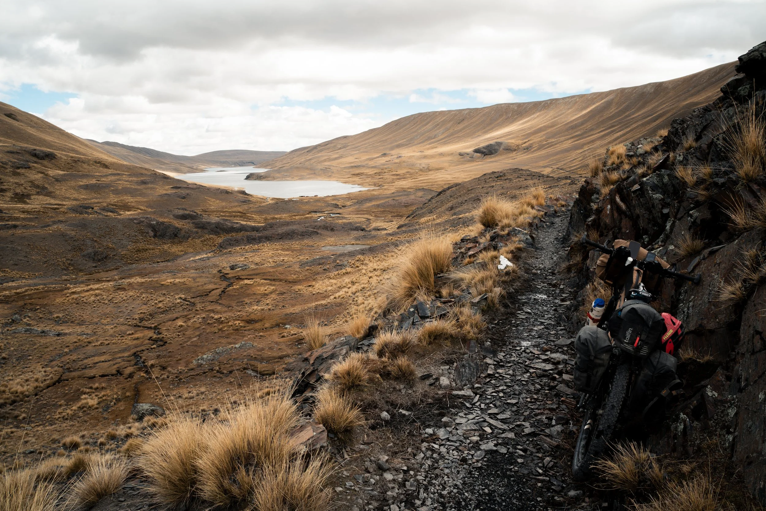
The path climbing from the river.
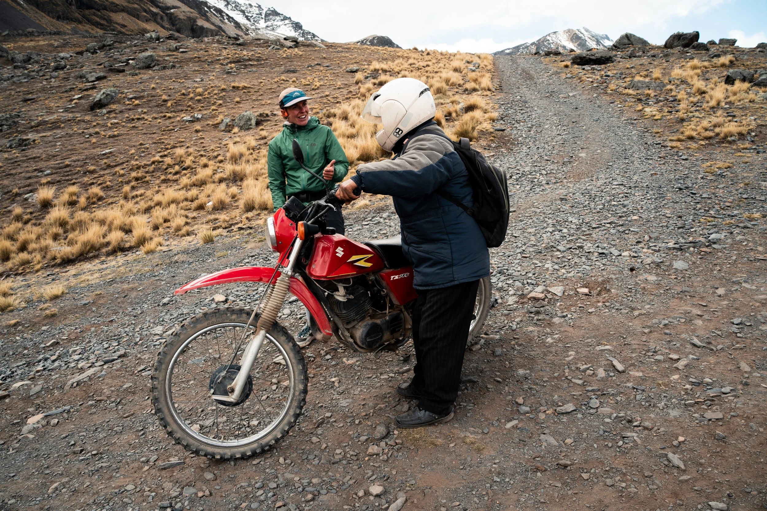
You won’t be seeing a loose throttle cable in this photo.
We followed him up and out of the valley, and after passing through some open farmland, navigating between stone animal pens, and pushing through and up a gully we were able to follow some nice single track down to Qara Quta. At the bottom we were given permission to camp nearby by a local farmer. Winds were ripping across the laguna, so we set up the tent between a duckpond and a dusty football field with some shelter.
As we were waiting for the tent to dry a little the next morning, a man came over to chat. After the usual questions, he mentioned he was a local teacher. He then asked for 20 bolivianos each for the privilege of camping the last night. After explaining that we had sought and been given permission by the other man, we ultimately gave him the rest of our coca leaves which were just taking up space as we never use them, and he happily jumped on his motorbike and took off. We weren’t entirely convinced his camping fee was legitimate.
The morning was spent on a downhill cruise through more farmlands, towards the town of San Juan de Cachacomani. The valleys were more open here, and the number of farms increased as we descended. We were out of oats, so were having to detour off route to try and get breakfast for the next few days. There was a bustling market on when we arrived at 1130, and we were able to get delicious plates of grilled chicken and pasta for only $3NZD each. Often these plates are served awkwardly with only a spoon, but this time there was no utensil given, so we had to eat by hand. There were no oats in town, so it was noodles for breakfast in addition to dinner. Despite having multiple tiendas, they were all equally poorly stocked with anything useful for bikepacking except cookies. By 1pm the market and most people had completely disappeared from the centre of town. We spent the afternoon regaining the altitude we had lost in the morning, climbing towards Abra de la Calzada, a 5100m pass which would take us off the Mama Coca route, and begin a circumnavigation of Illampu. This was a 6368m mountain that dominated the area. We chose to take a fork in the road leading directly to Laguna Cacha, near the pass, hoping for a nice lakeside campsite.
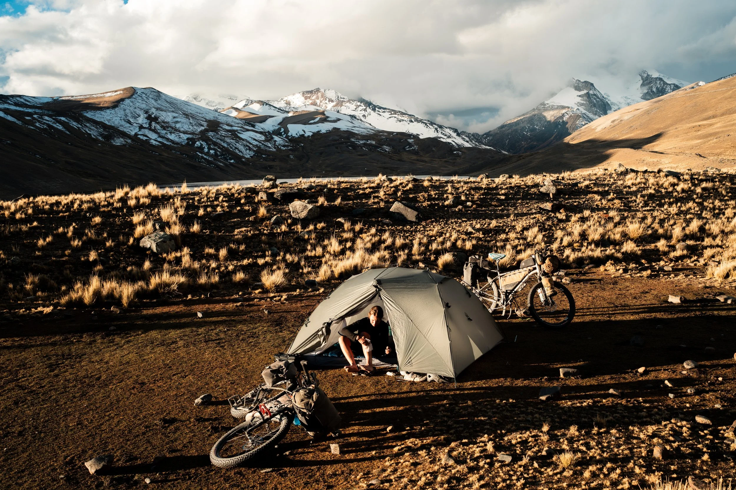
We eventually found somewhere flat, but come morning had to push our bikes up 100m of steep slope to join the road going over the pass. Just as we reached the top, we found more perfectly flat sites for camping, and regretted the decision to stay low the night before. As we wound above a few more lakes, we saw two men sitting with pickaxes on the side of the road. Without even the courtesy of the usual questions, they asked us for some coca leaves or food. I gave them a small packet of biscuits. Upon taking it, the man gestured ‘yea, but what have you got for my mate?’. This infuriated us, as we had cycled with multiple days of food up thousands of metres of climbing, and they just expected we would have something for them. It wasn’t until this stretch in Bolivia that we had been repeatedly asked for money or food by locals on the road or approaching our tent. It really brought home a stark difference in hospitality and custom between Bolivia and Eurasia, where I had done most of my travelling prior. Whether Mongolia, Georgia, Tajikistan, Pakistan, or Turkey, locals had often gone out of their way to share food, invite me in for tea, or to help me out on the road. Not that I expected it, and often not that I wanted it either (the full cups of vodka in Mongolia were definitely regretted). In Bolivia, we were once gifted 2 mandarins as we climbed a hill, but other than that hadn’t received any real hospitality from people except when paying for it. Even then it was about 50/50 if we were treated coldly and like an annoyance by our hosts. Again, I would never expect anything from locals, but it was stark contrast to drinking wine with strangers on top of mountains in Georgia, or being made salad and lunch by remote farmers in the Pamir mountains of Tajikistan, all because I happened to be passing by. We are loving our 3 months in Bolivia though and would definitely recommend checking it out, its just a noticeable contrast between the continents.
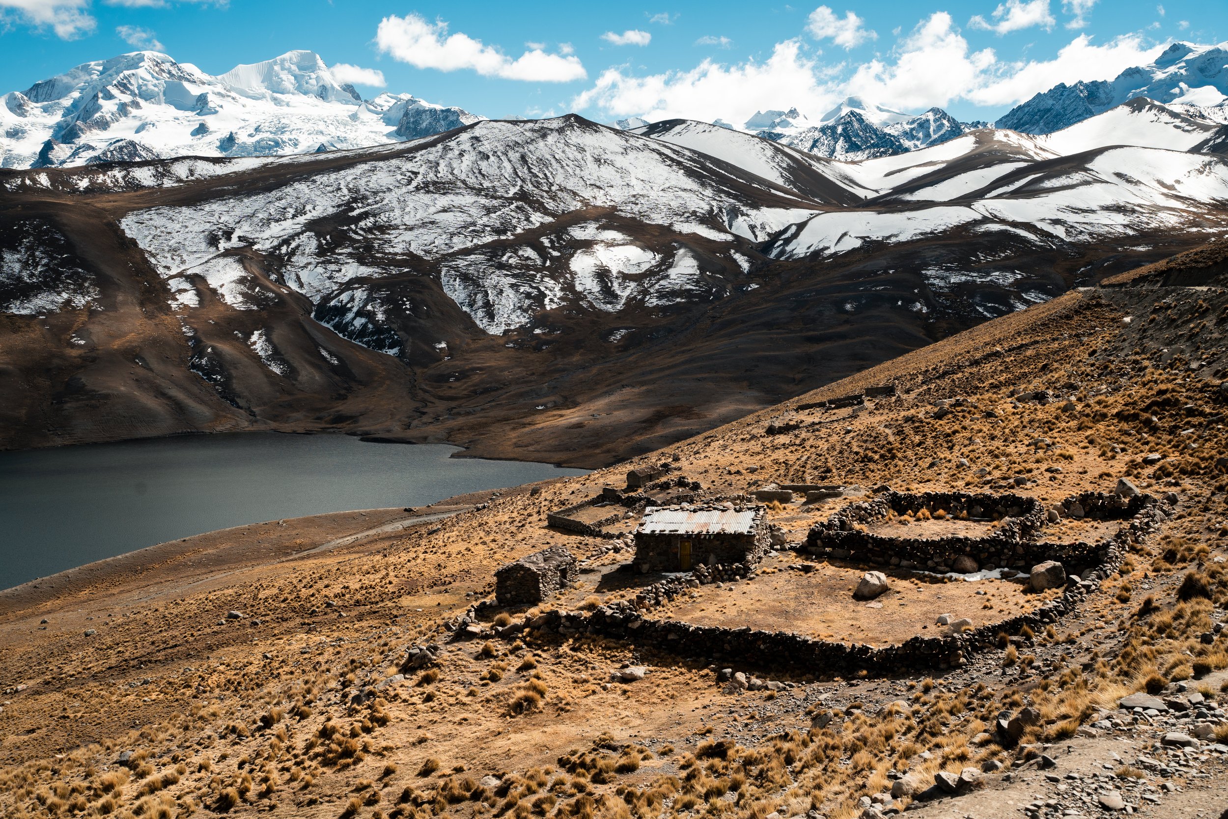
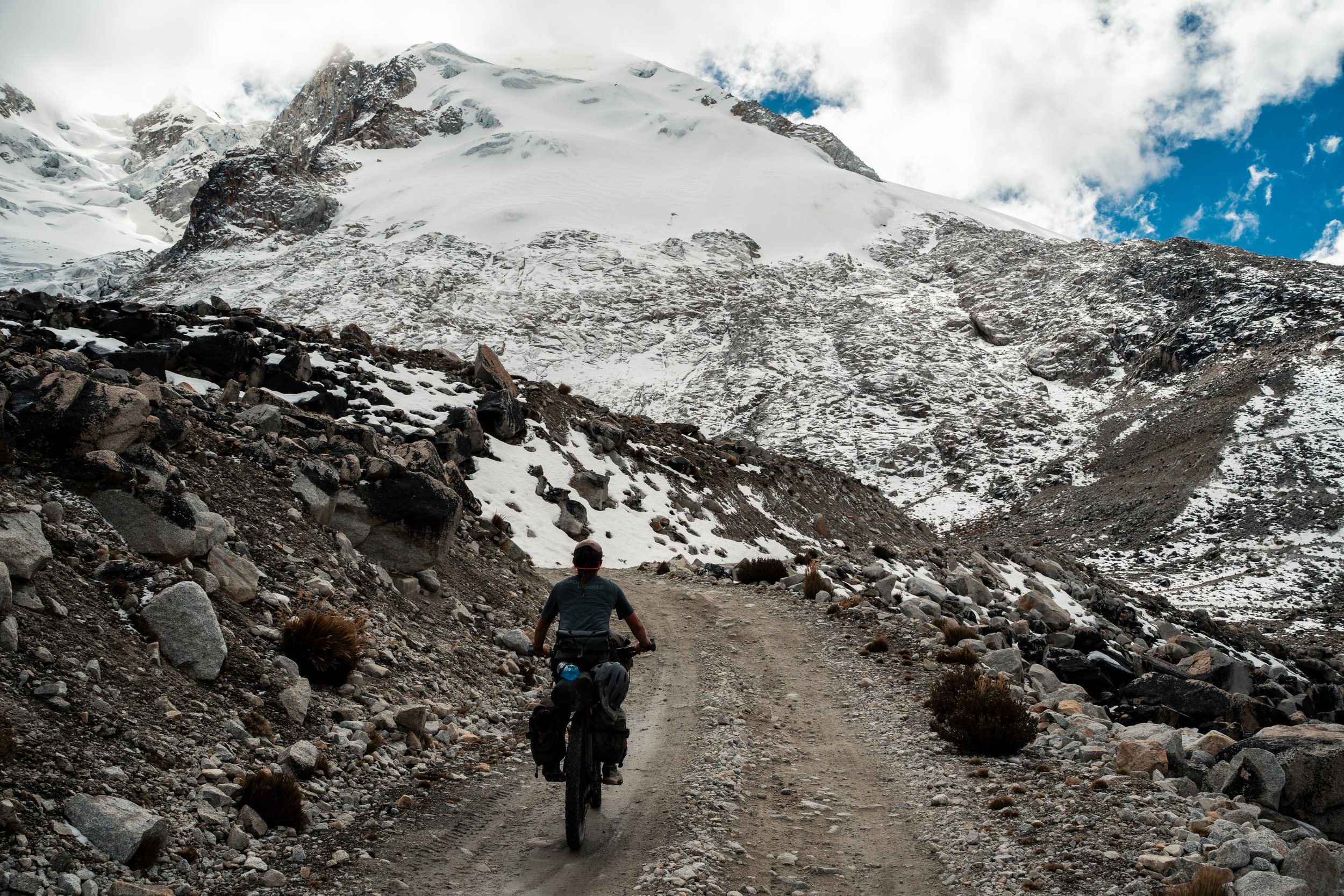
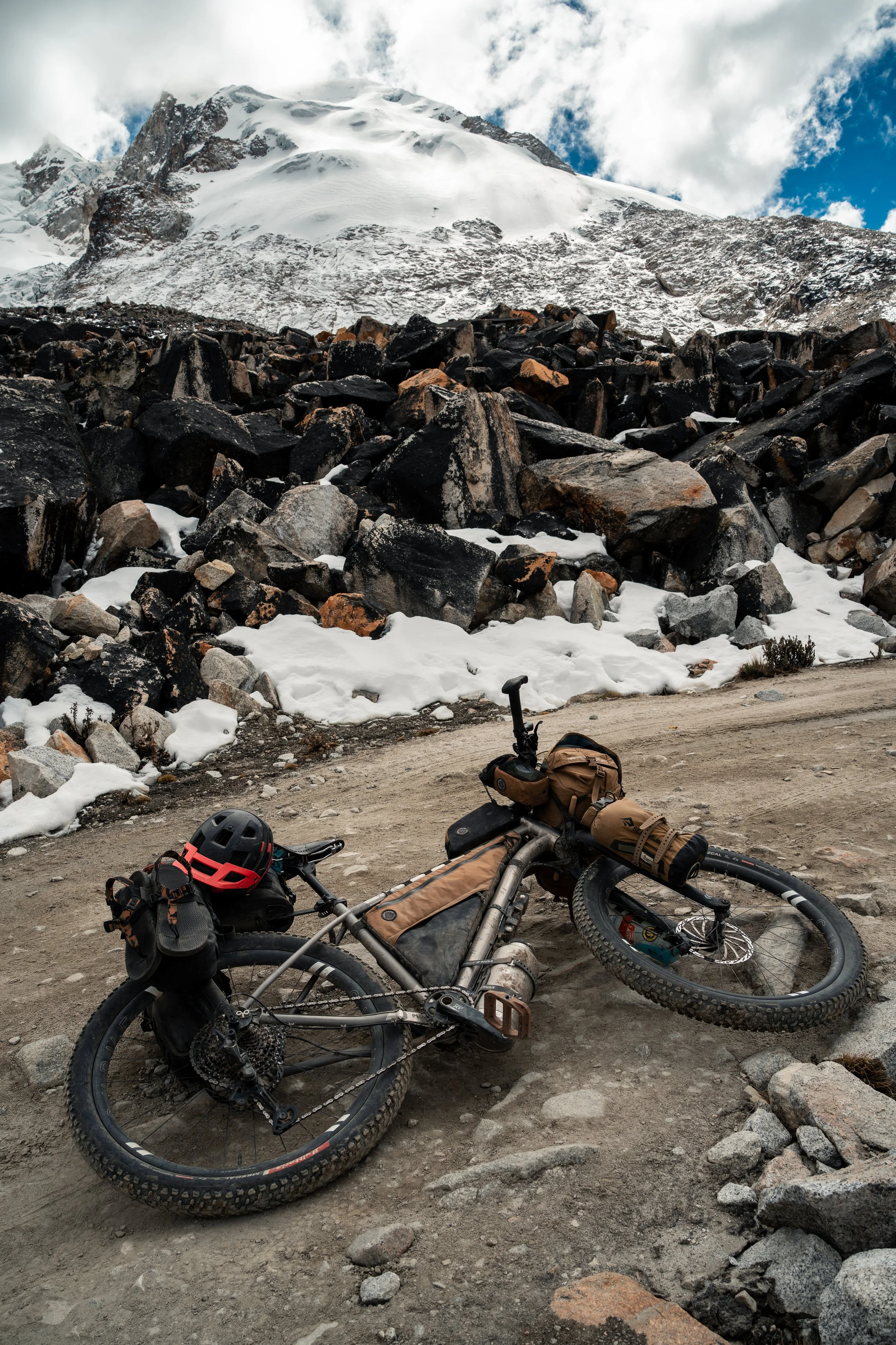
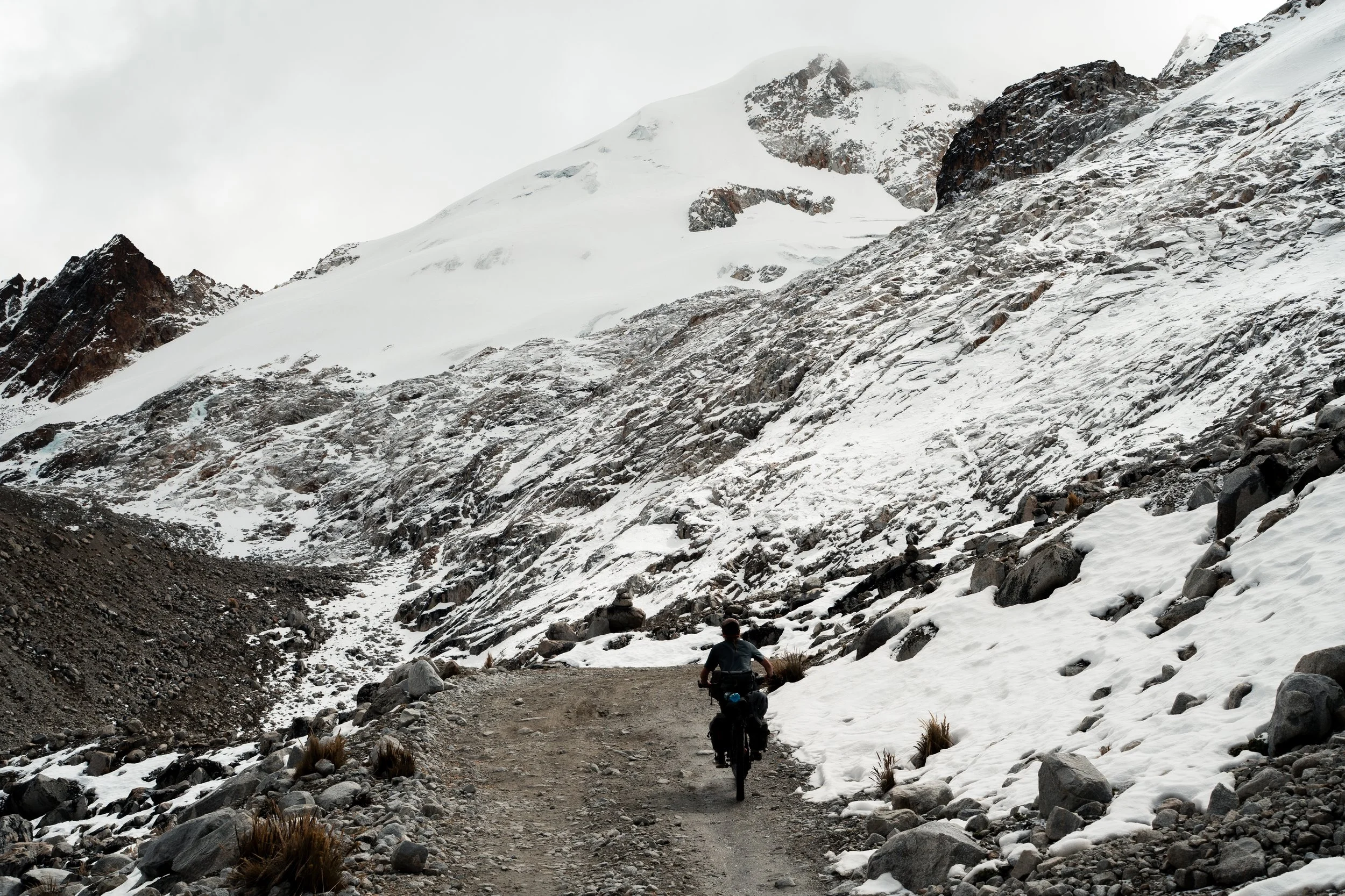
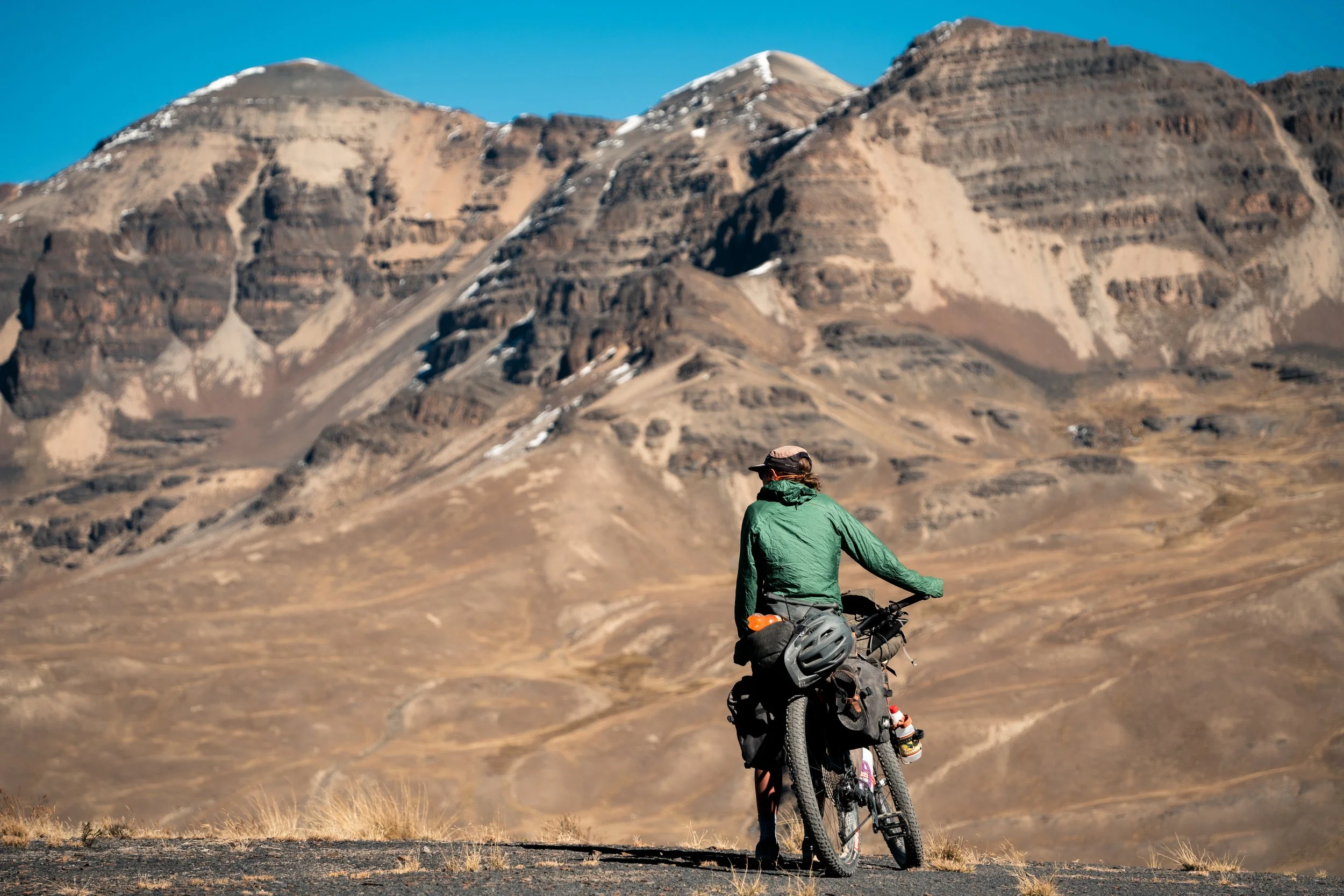
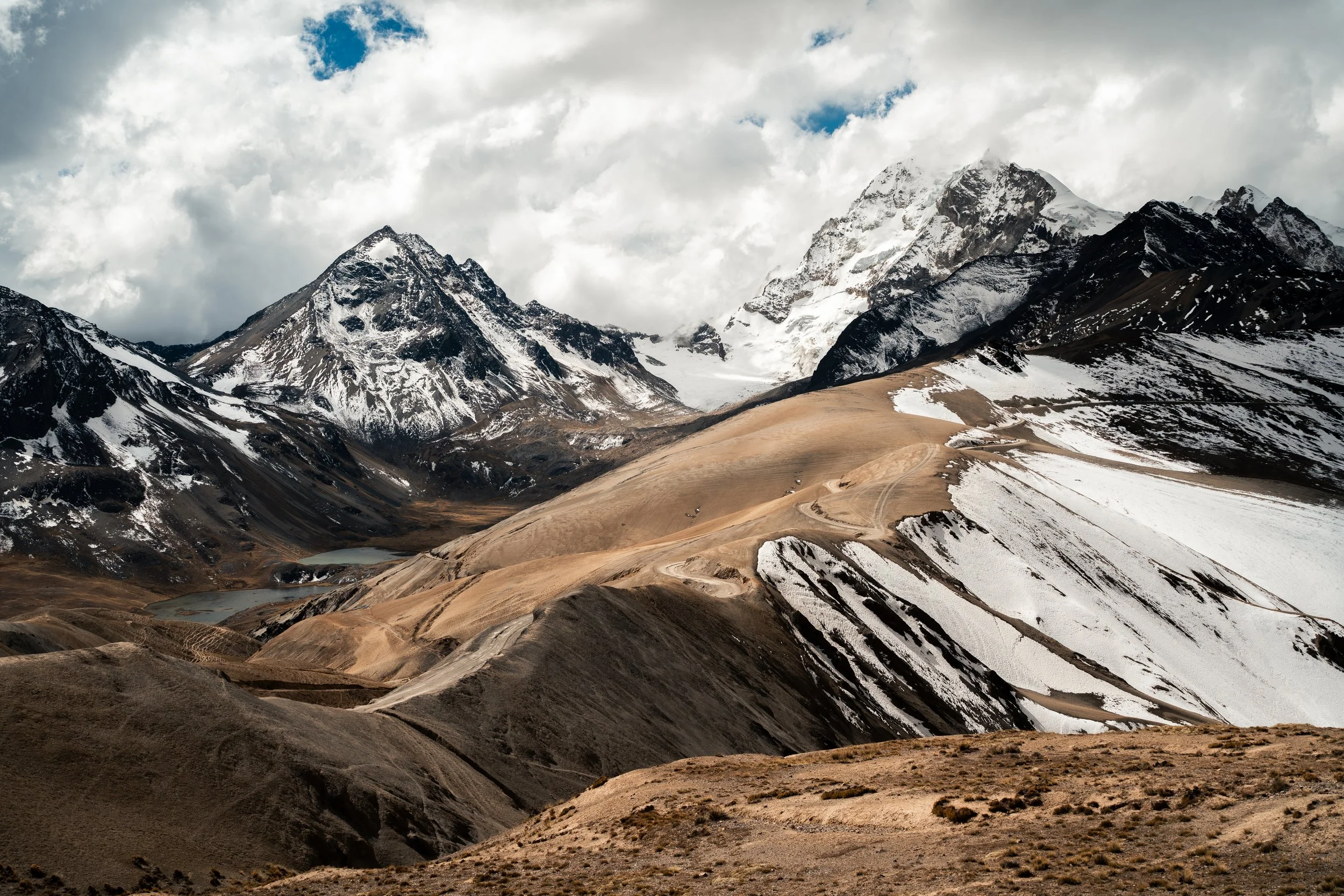
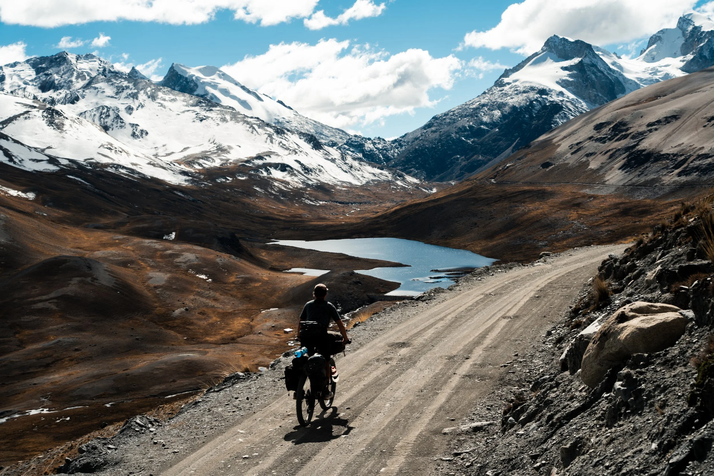
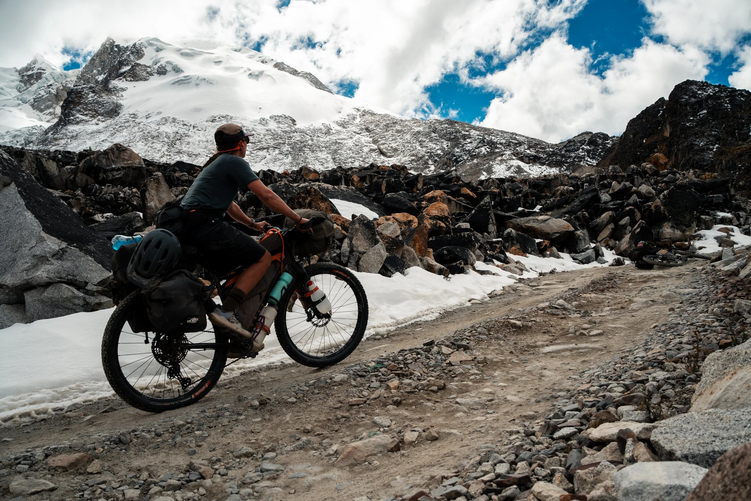
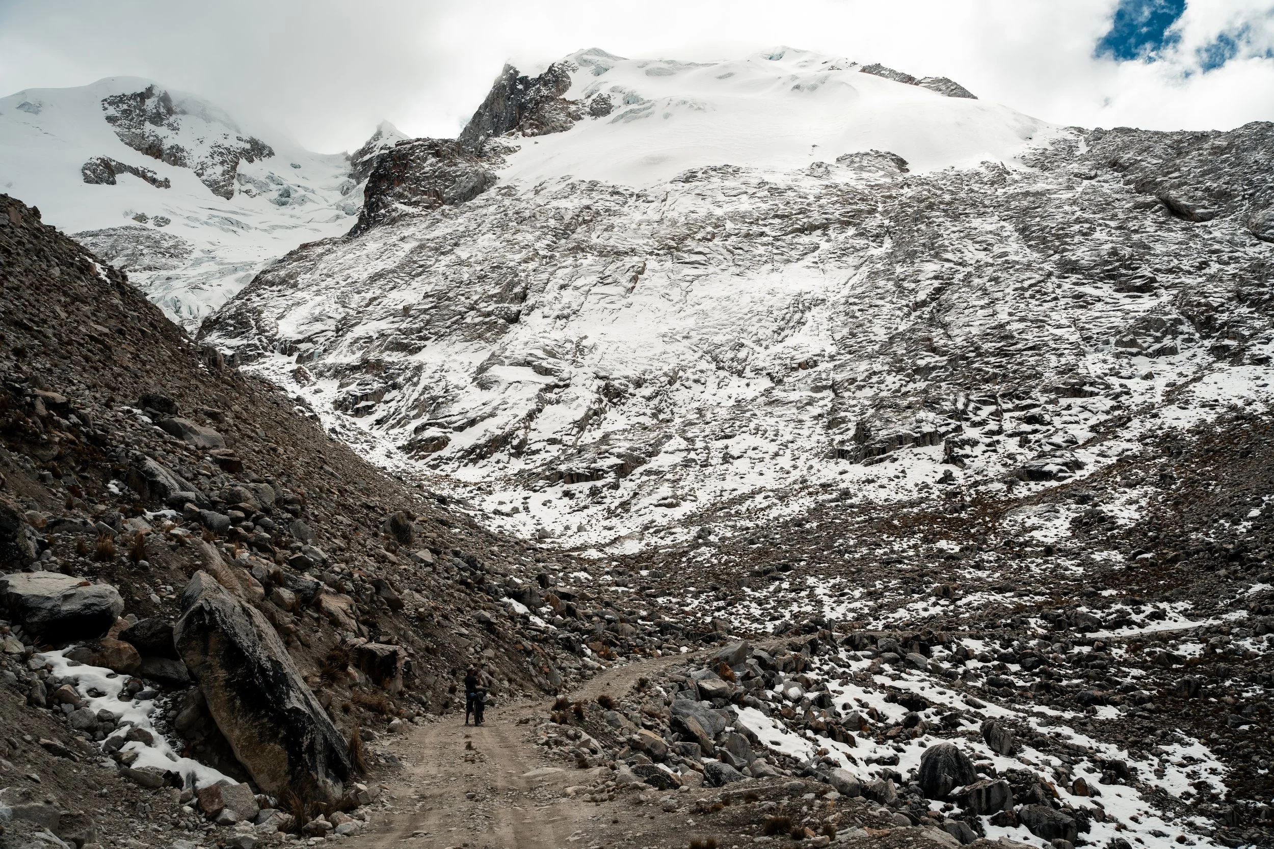
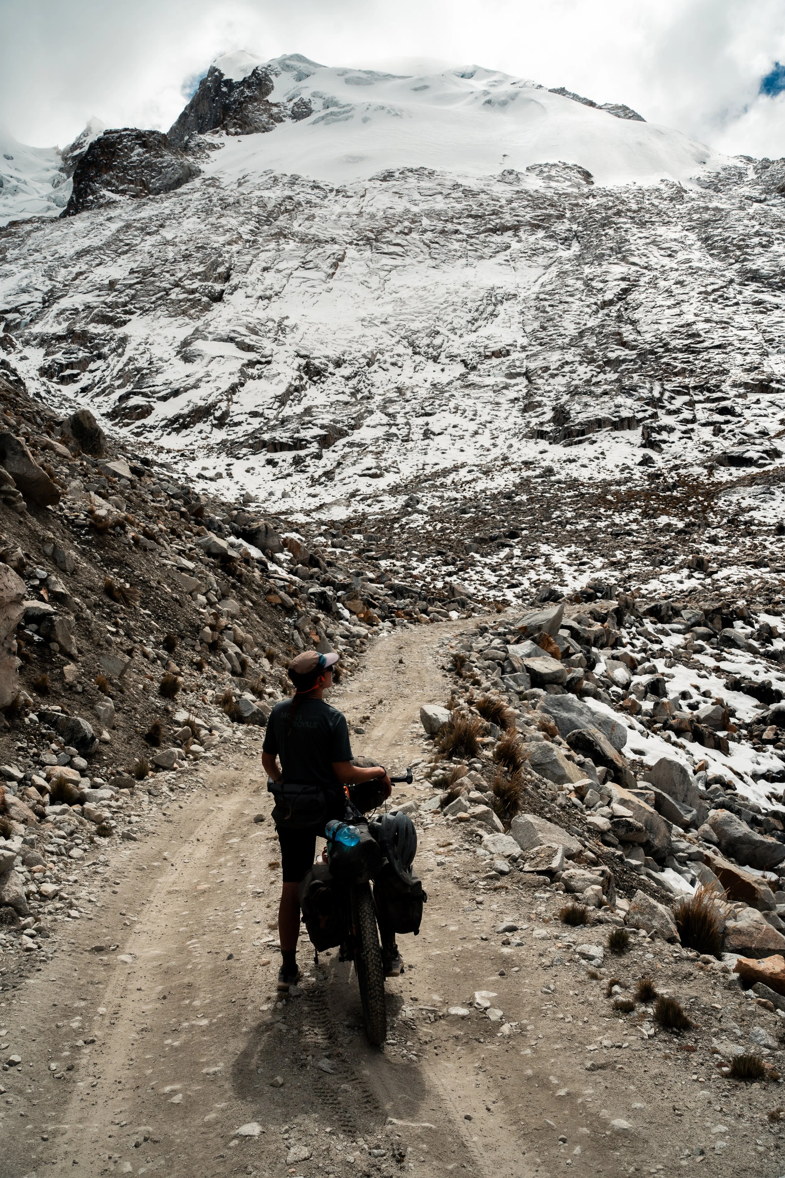
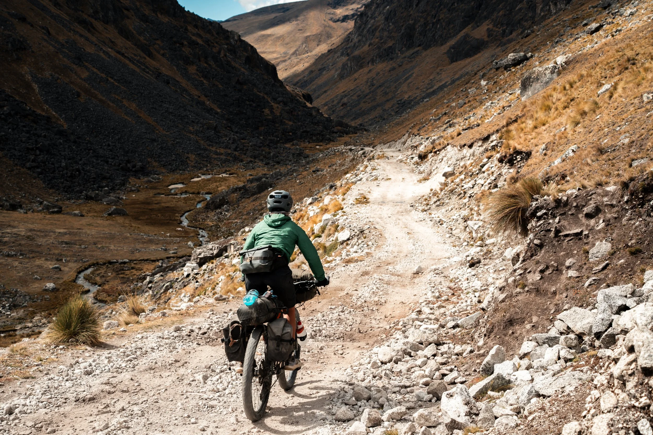
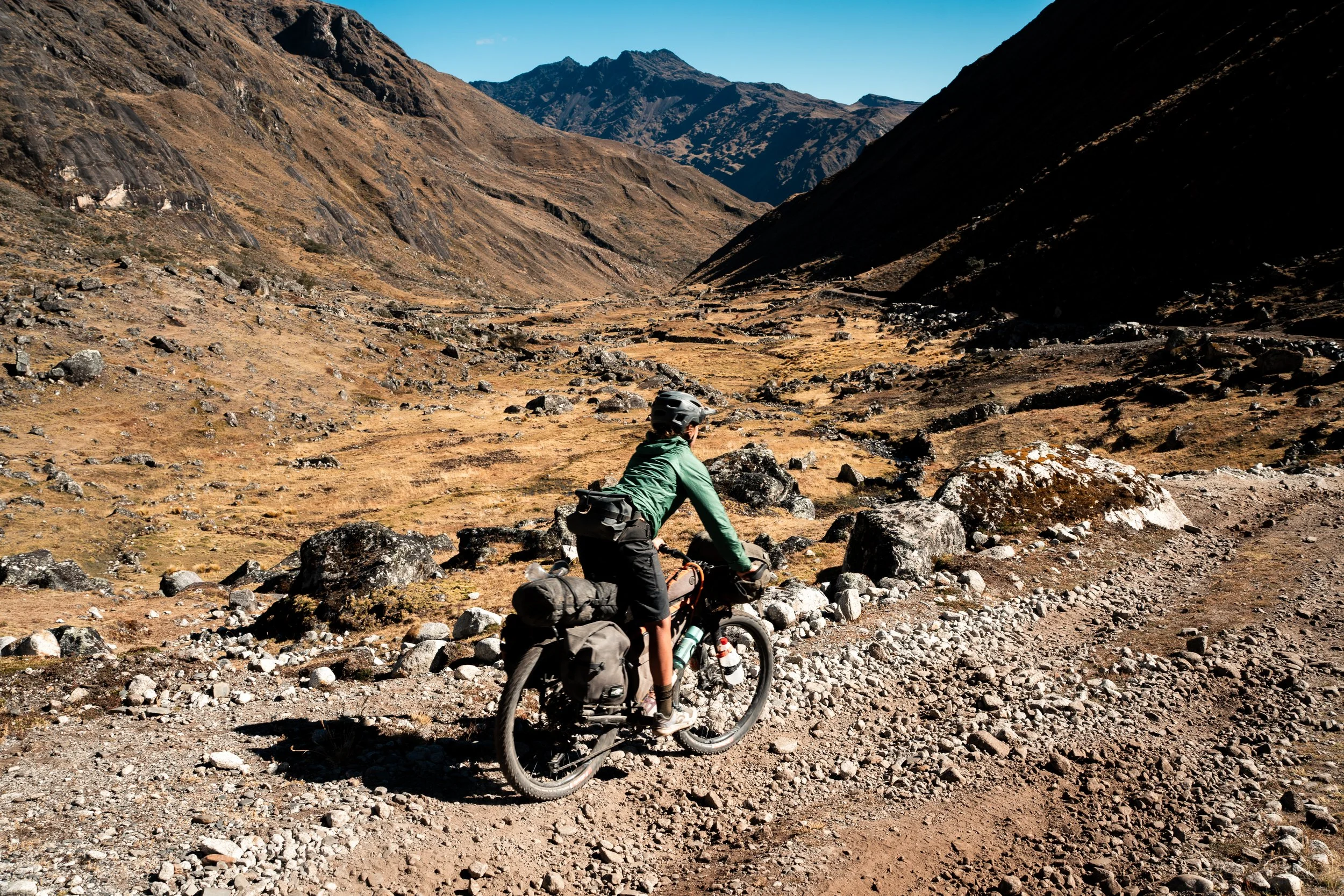
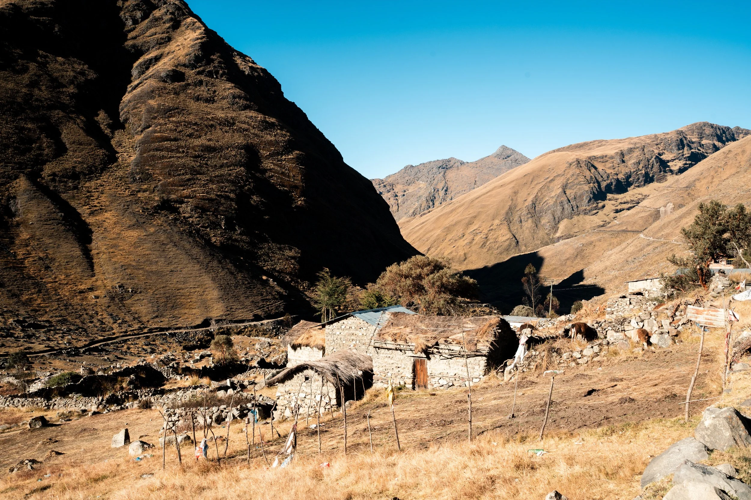
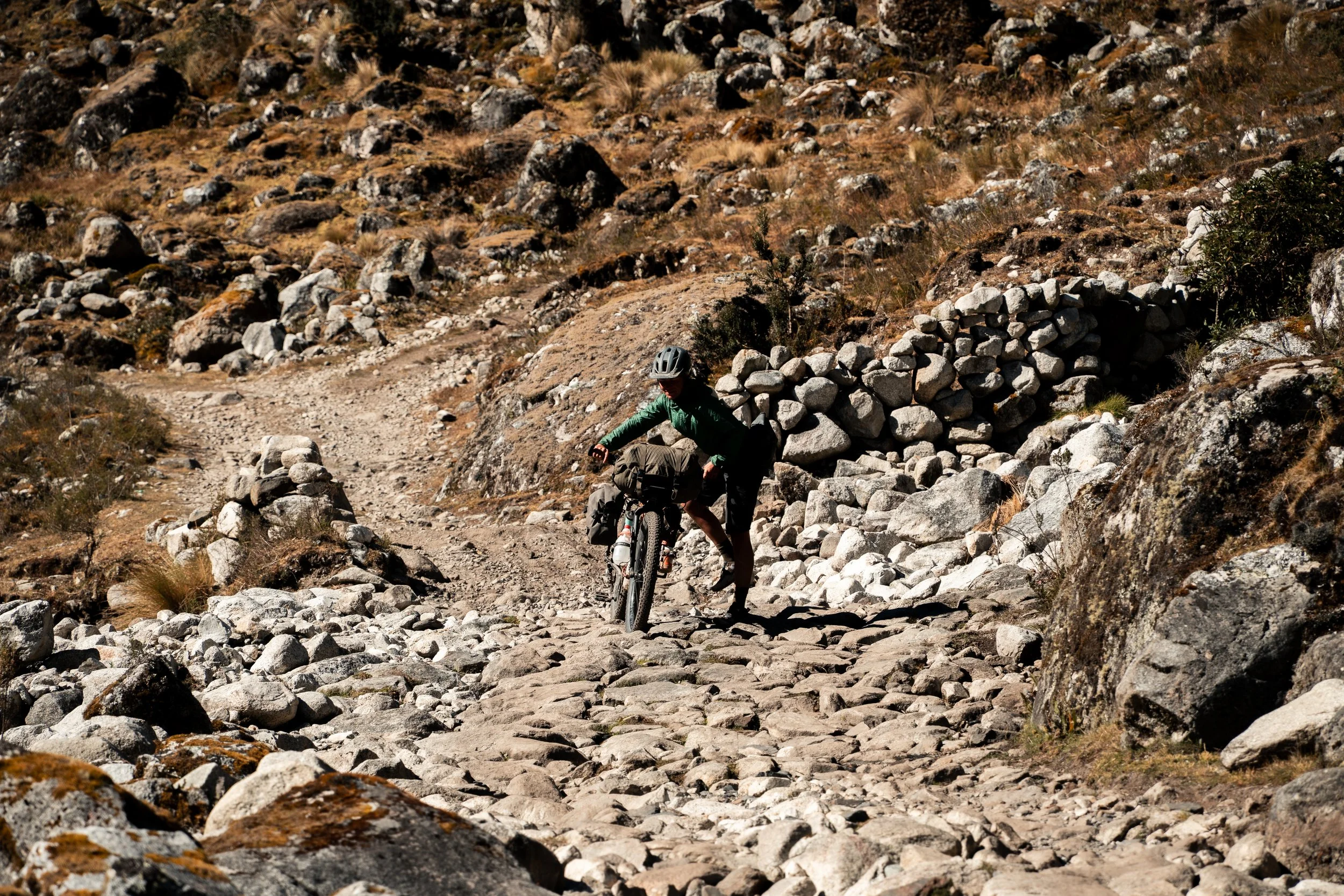
It took us most of the morning to get over Abra de la Calzada, pushing under glaciers. The descent was very steep and rocky, compounded as we were distracted by the beautiful valley There were a couple of farms here, and the usual llamas everywhere, but mostly it was just quiet. We filtered some water whilst having lunch in an old shepherds hut before starting the climb out. This was 500m over 3.5km, and for us involved pushing our bikes the entire way up, our feet often slipping on the loose rocks. The sun was getting low as we got to the top, so we pitched our tent before crossing over the pass, hoping for better morning and evening sun on the easterly face.
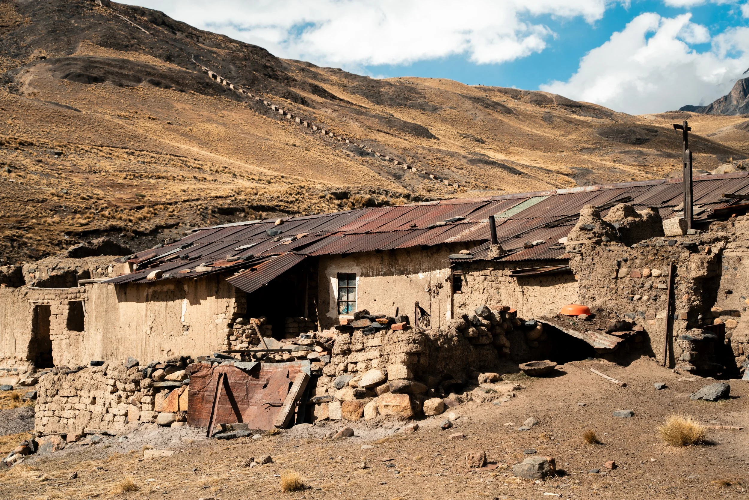
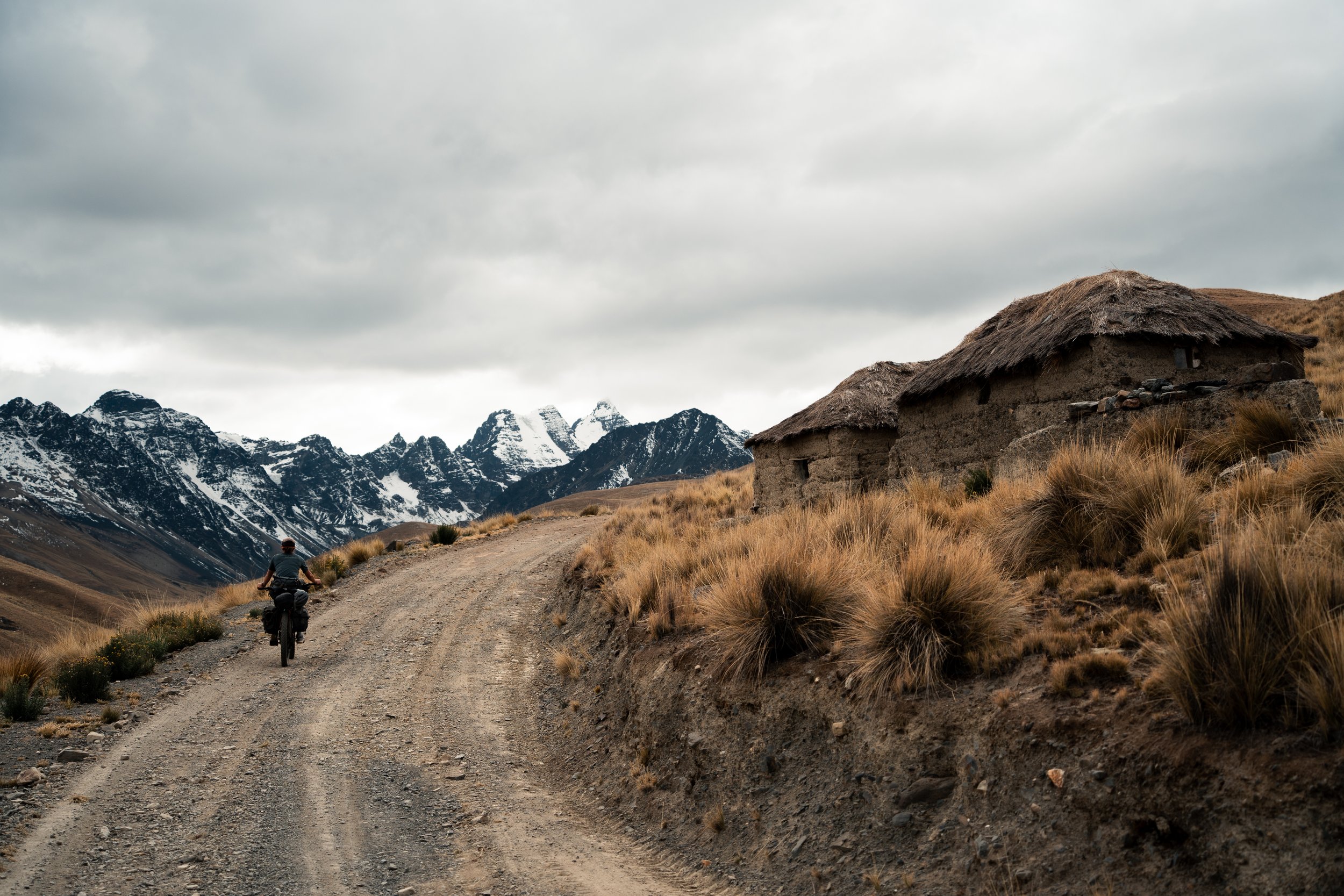
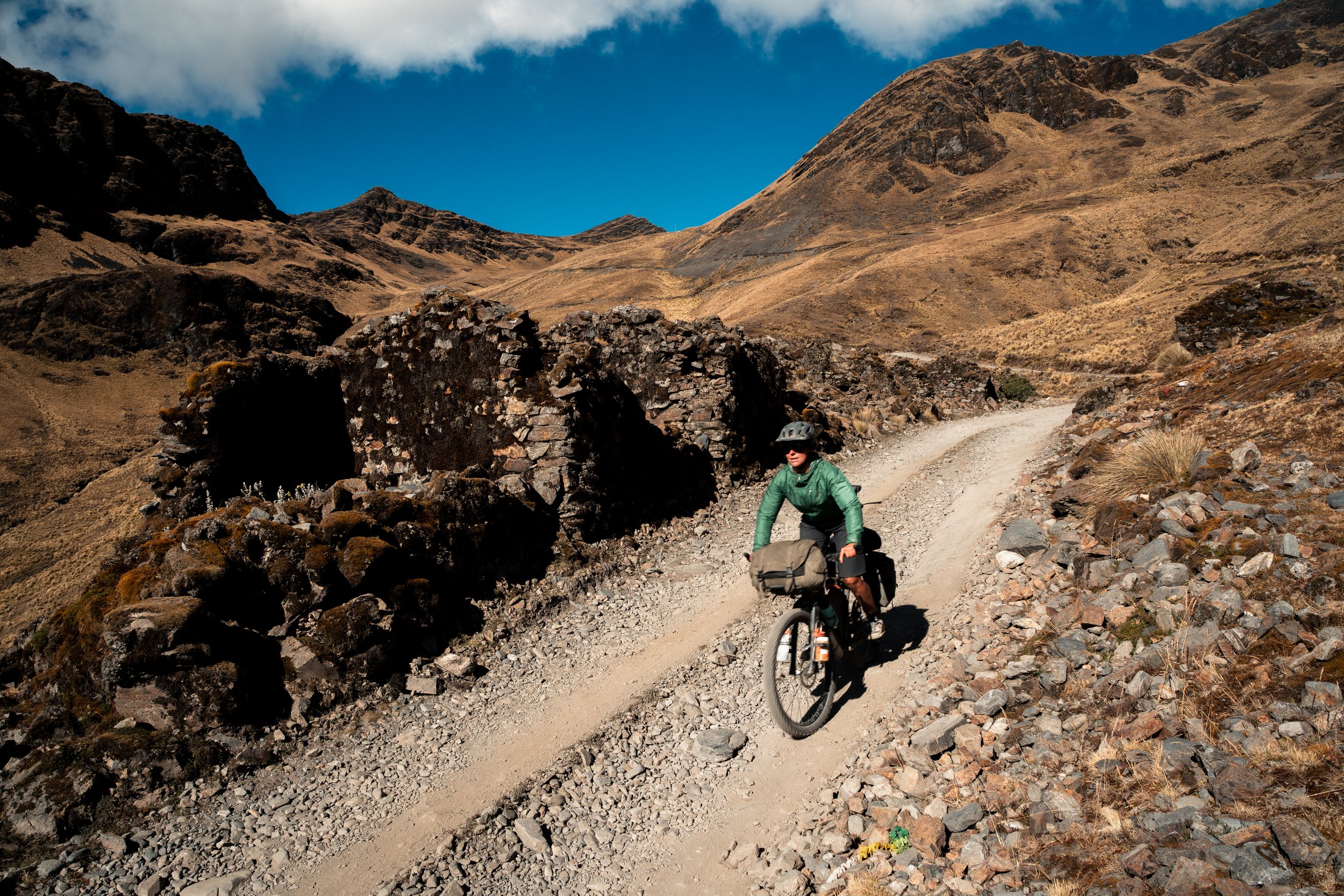
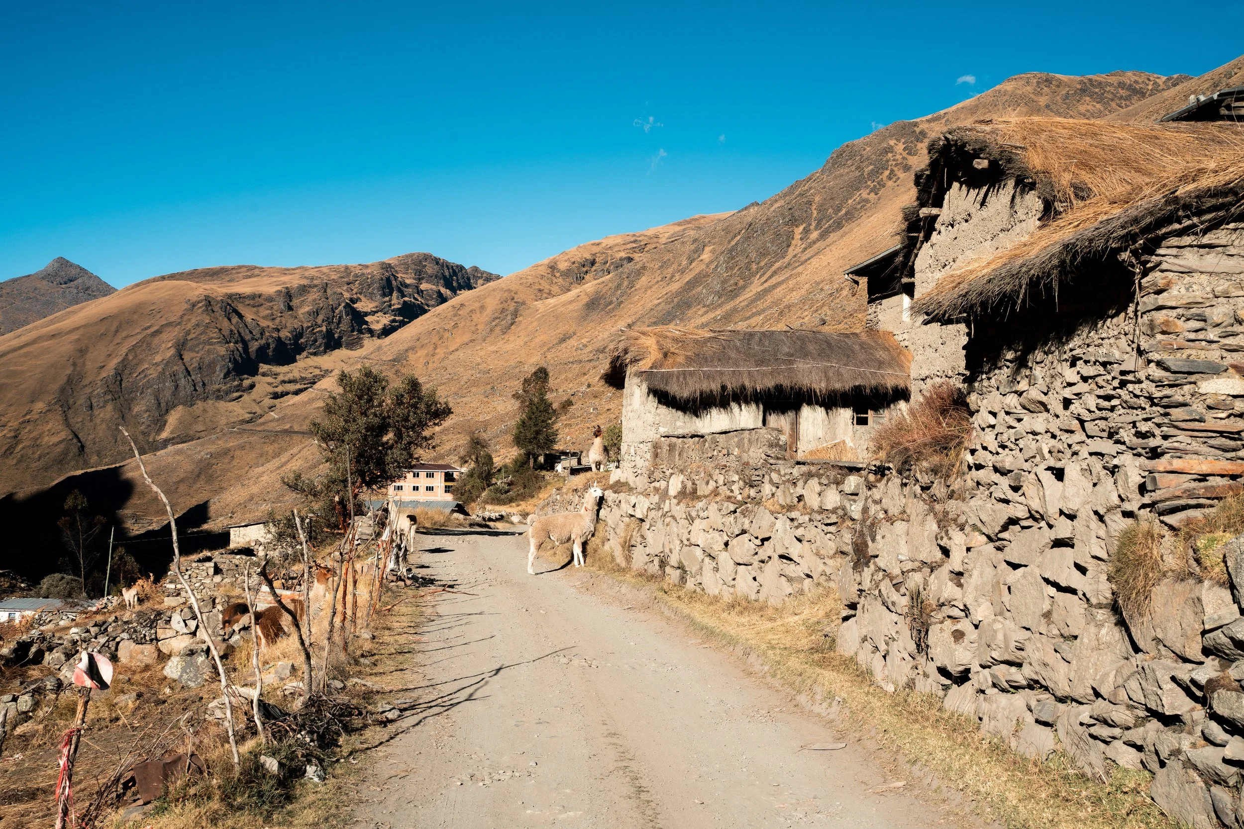
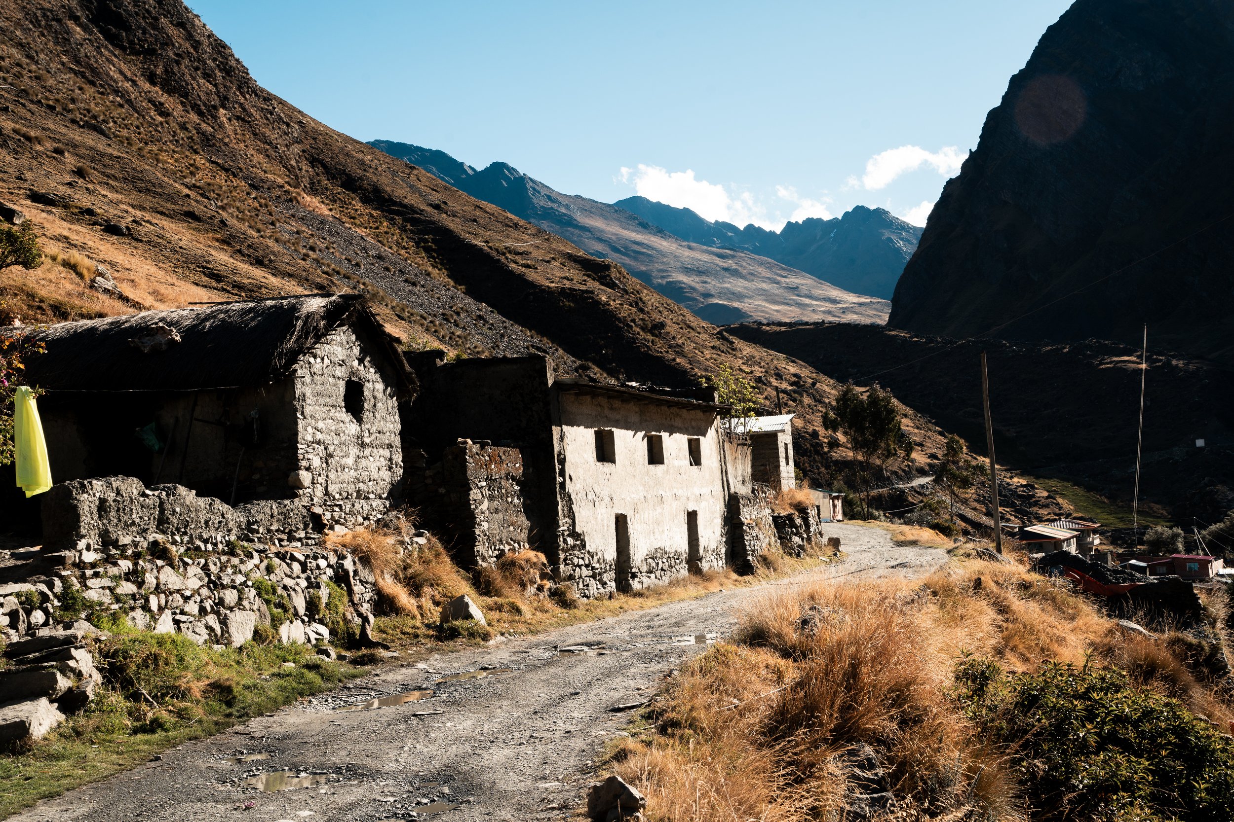
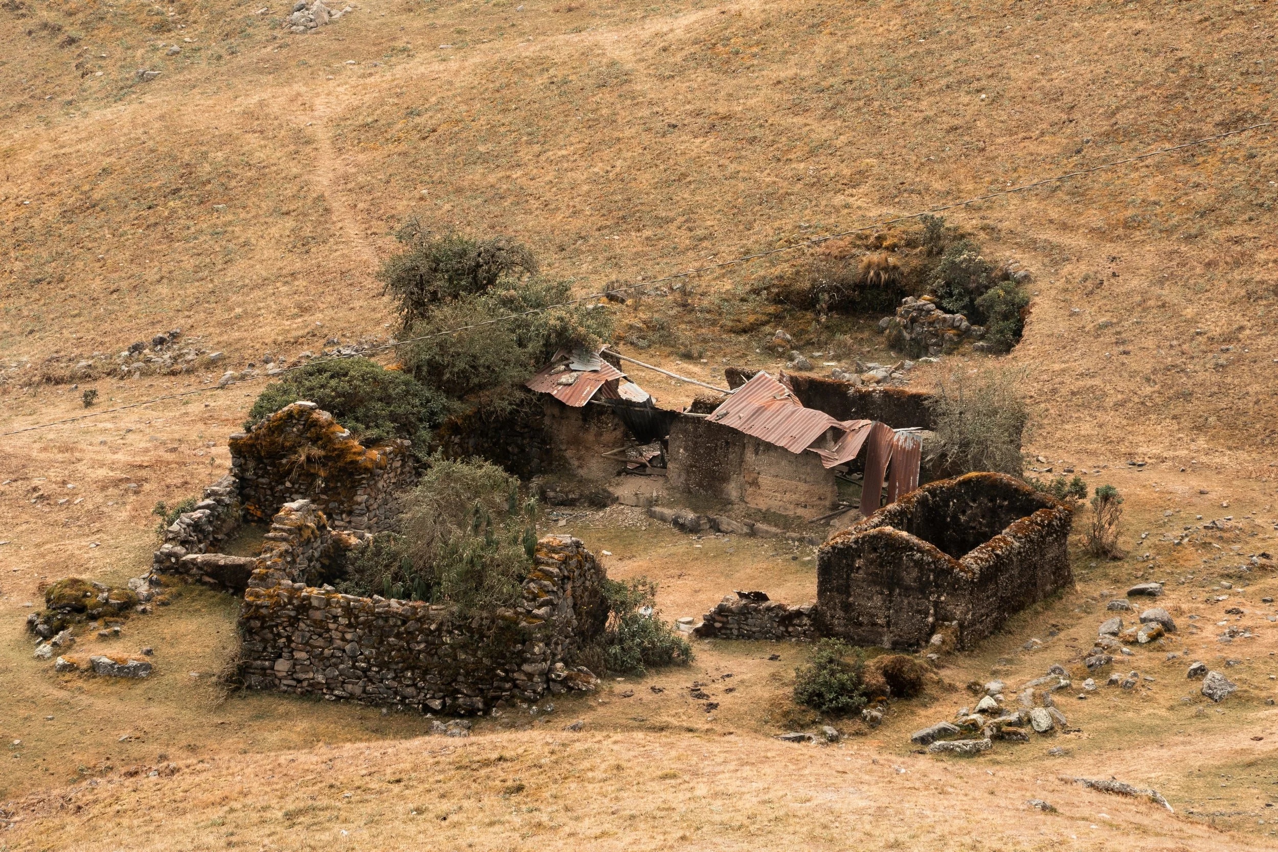
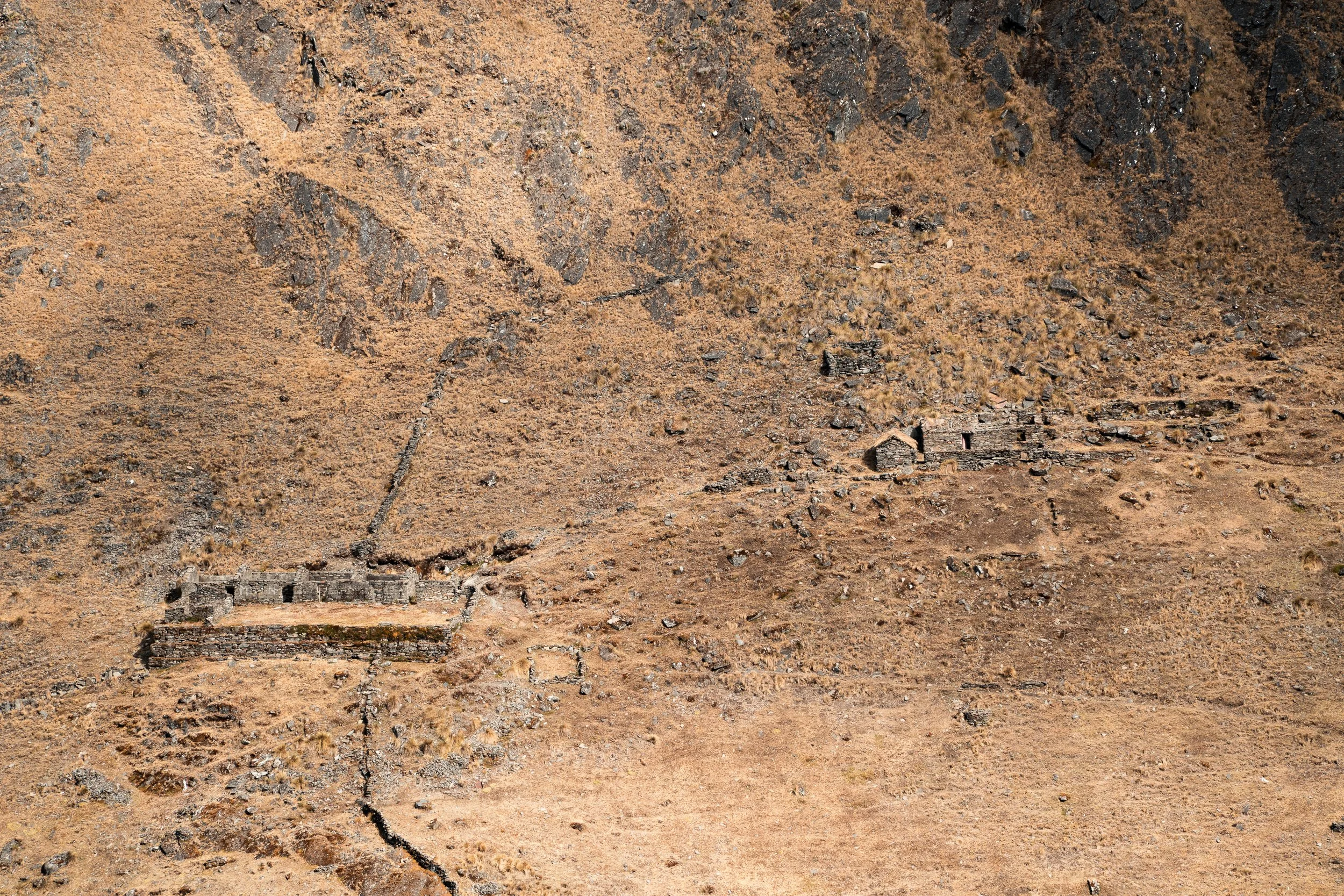
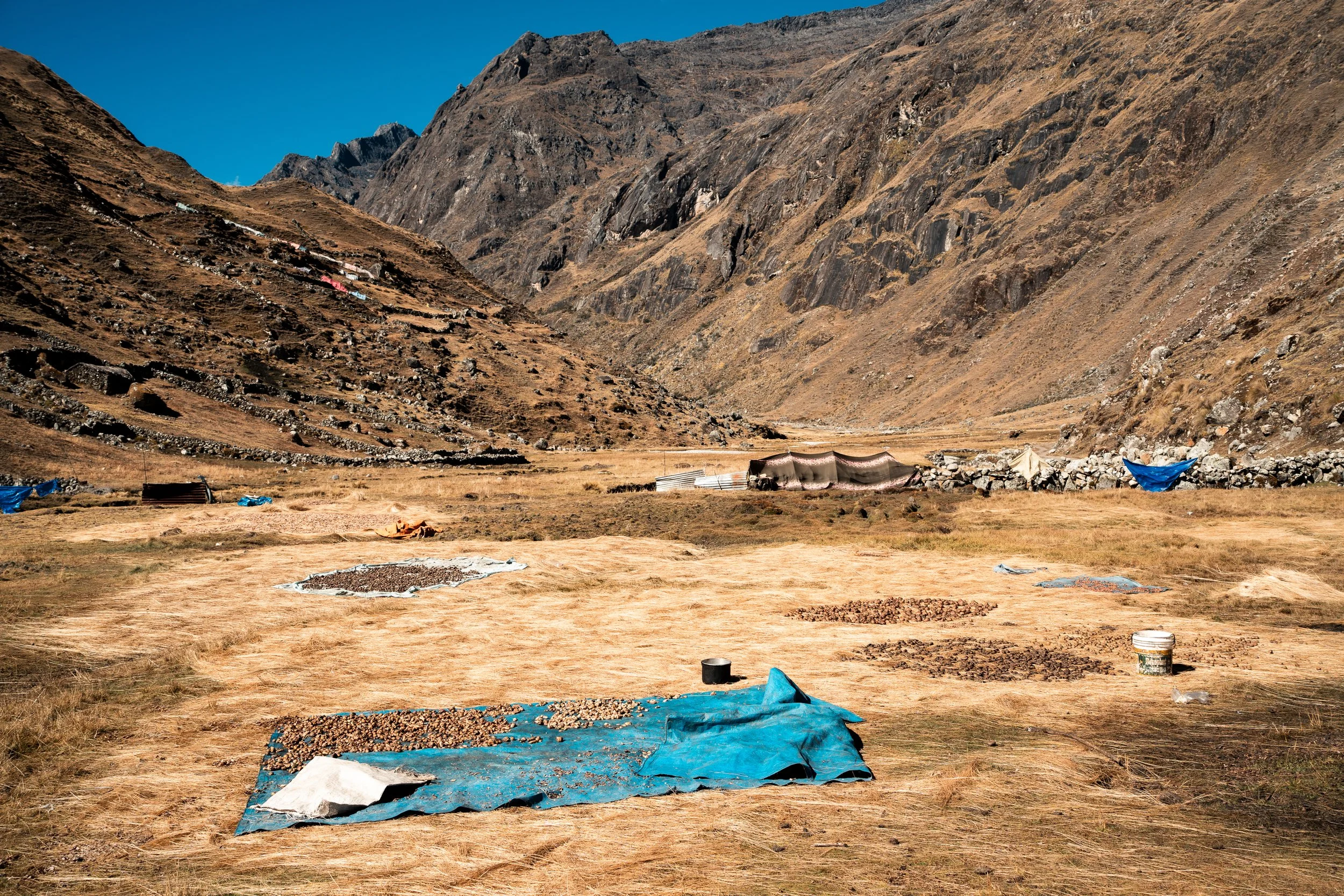
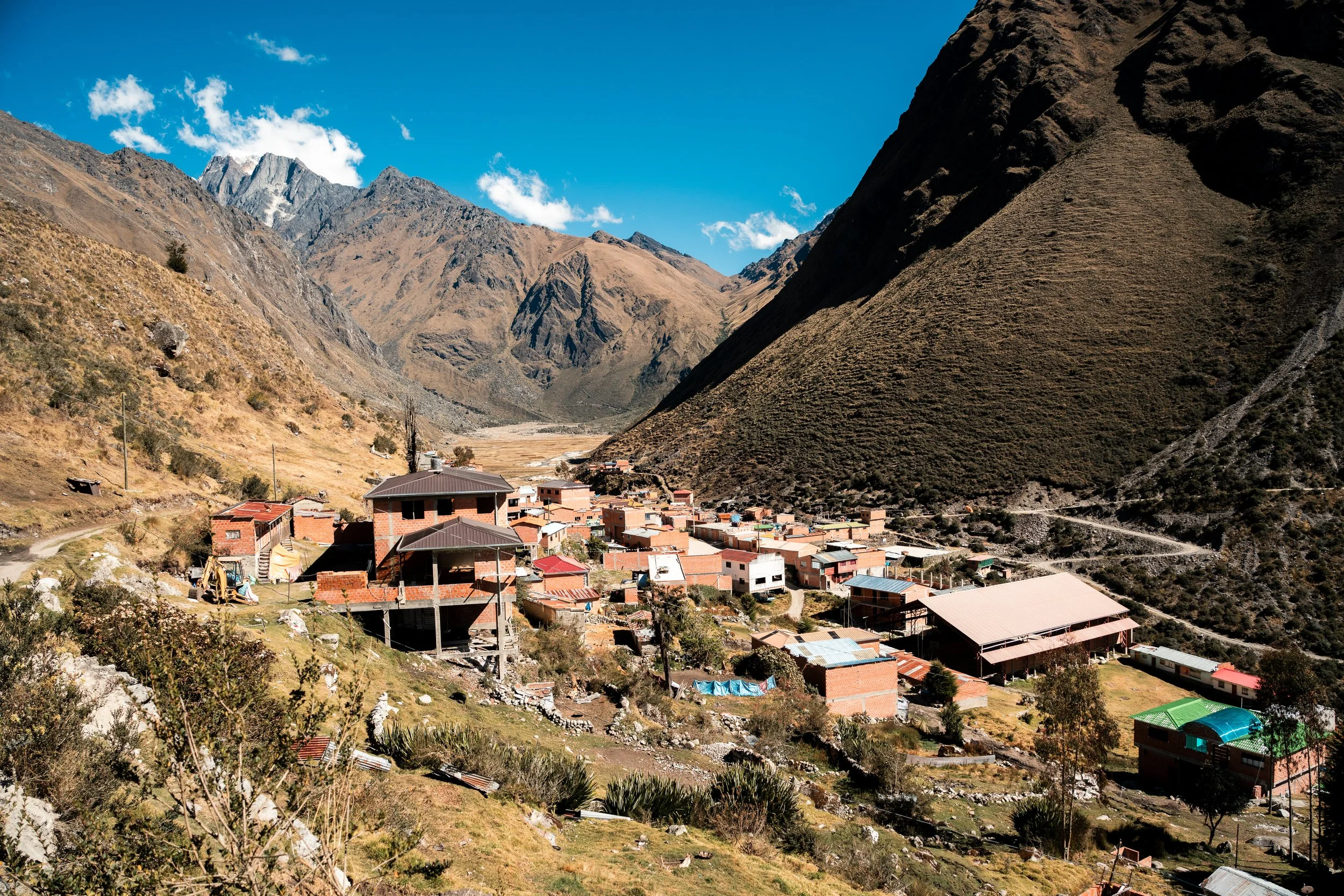
After crossing the pass in the morning, it was another rocky descent to the village of Cooco. A surly man ran the one tienda in town, and he appeared visibly annoyed to have to put down his TikTok reels to serve us. Lunch was tuna rolls and biscuits, then the next climb started. This was one only about 75% pushing, as we gained 900m. Descending the other side, the road twice passed between mossy stone buildings, multiple small rooms each connected on terraces. We would later find out these were Incan military ruins, high in the valley to spot invaders early. The officers were housed in the higher buildings, and the lower ranks in the lower ones. This final valley of the Illampu circuit was a major trade route from the Andes to the Amazon, and at the bottom were countless old farmsteads, remnants of the pre-Incan Aymara people.
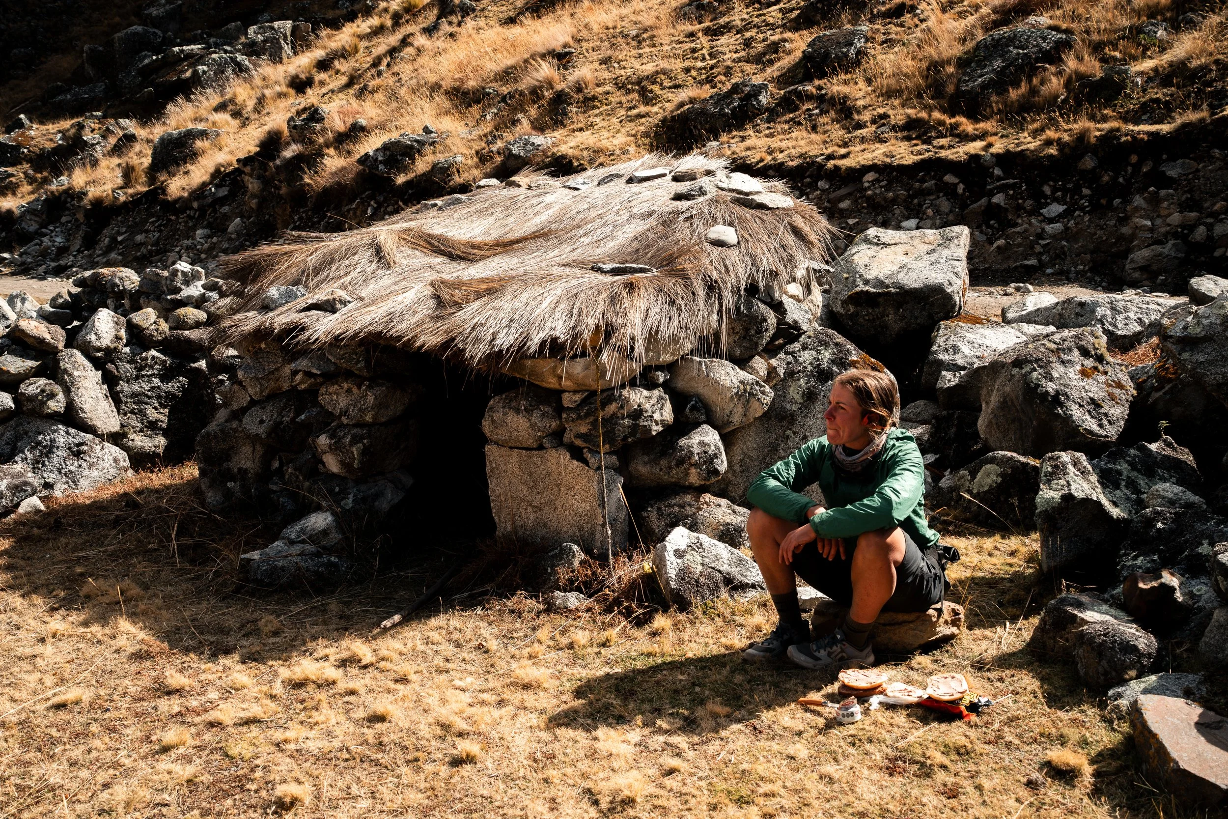
Cooco, where your tuna can comes with a sigh.
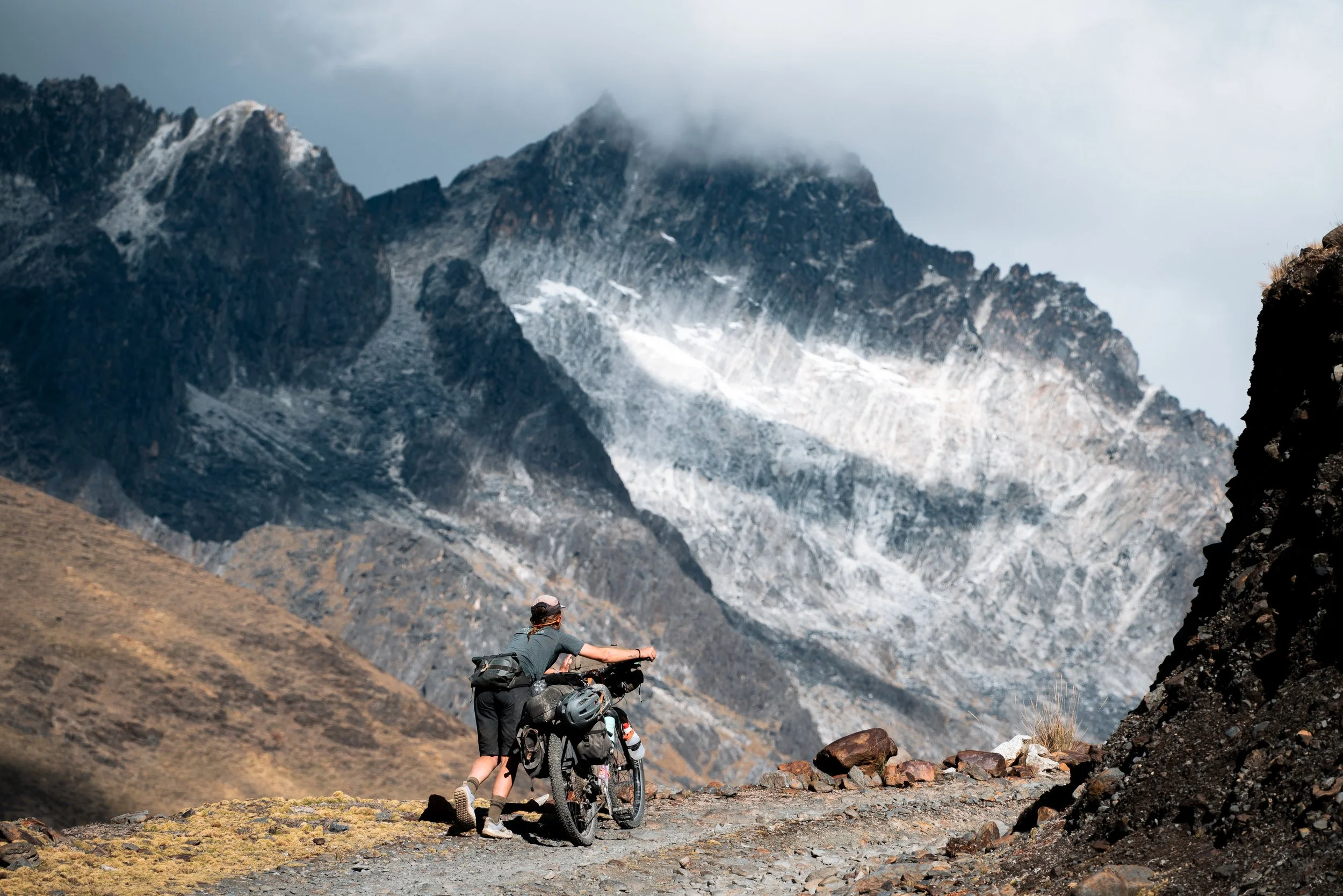
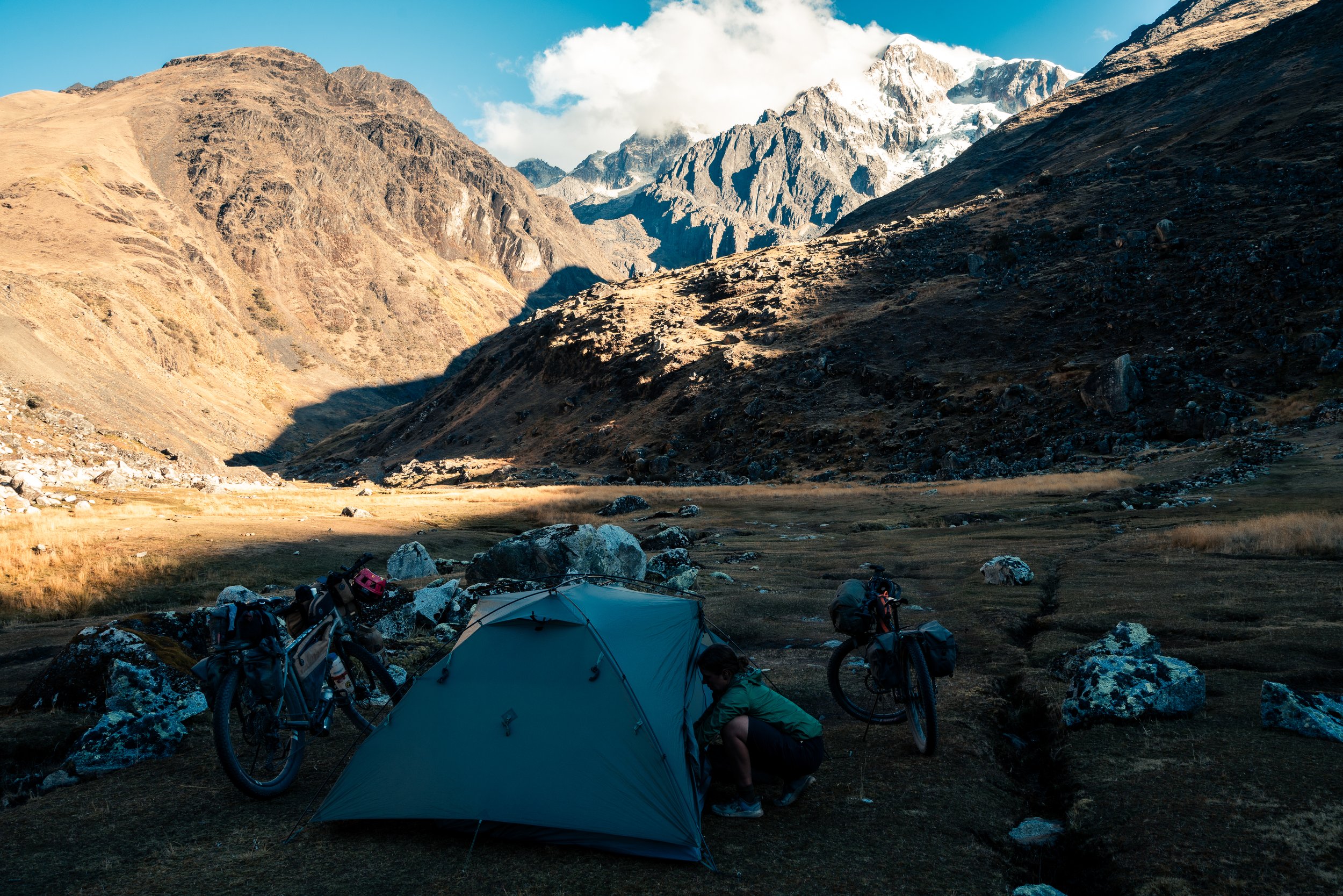
We looked through the village of Ancoma for food, but found nothing but icy glares from elderly hunchbacked women, so left to set up camp further up the valley. With Illampu towering over us, a stream next to us, and distant enough we couldn’t hear dogs barking, this was one of our favourite campsites of the trip. If we had any food left, we almost certainly would have stayed an extra night there.
The buildings on the left are Incan military barracks (apparently).
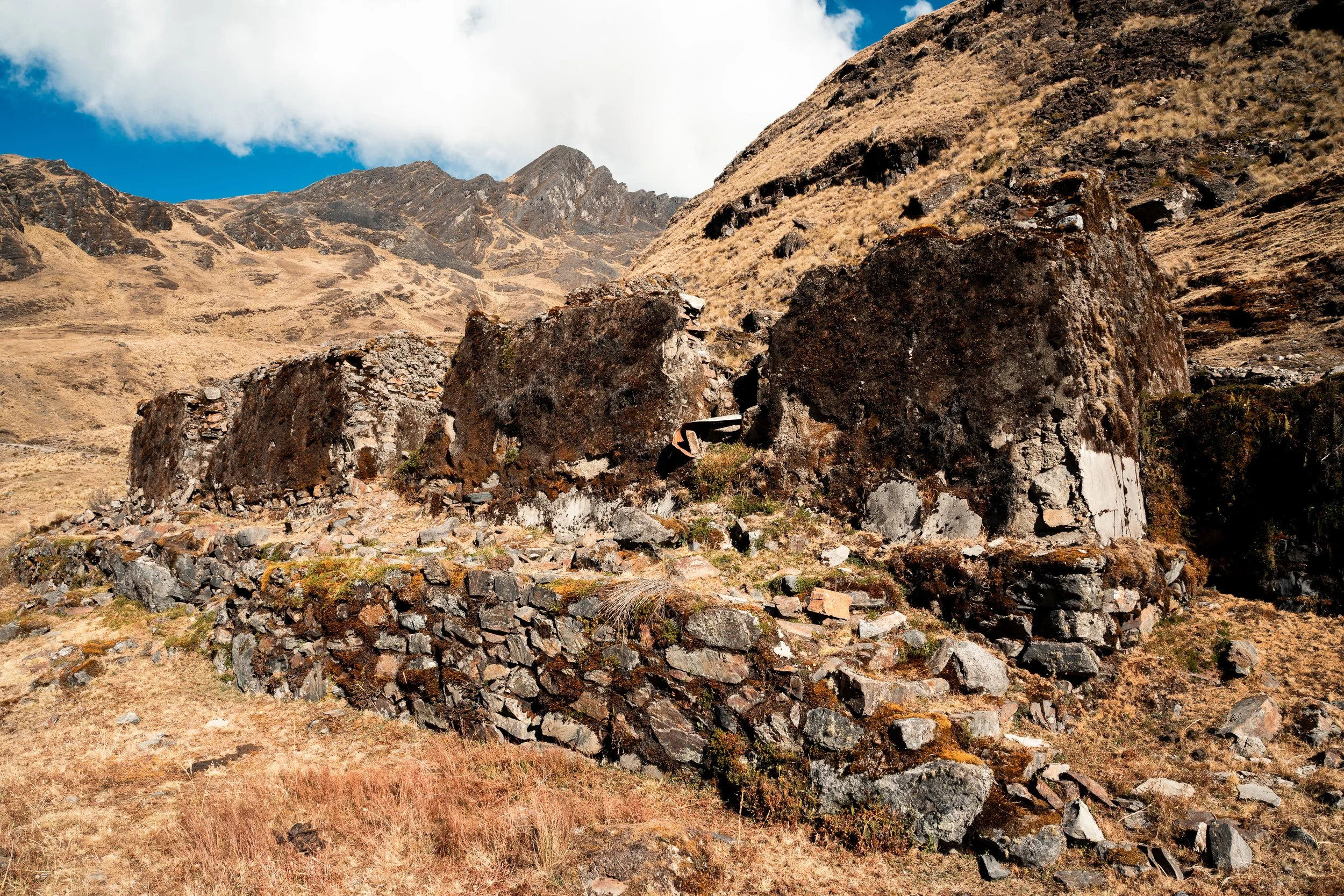
The barracks from the front.
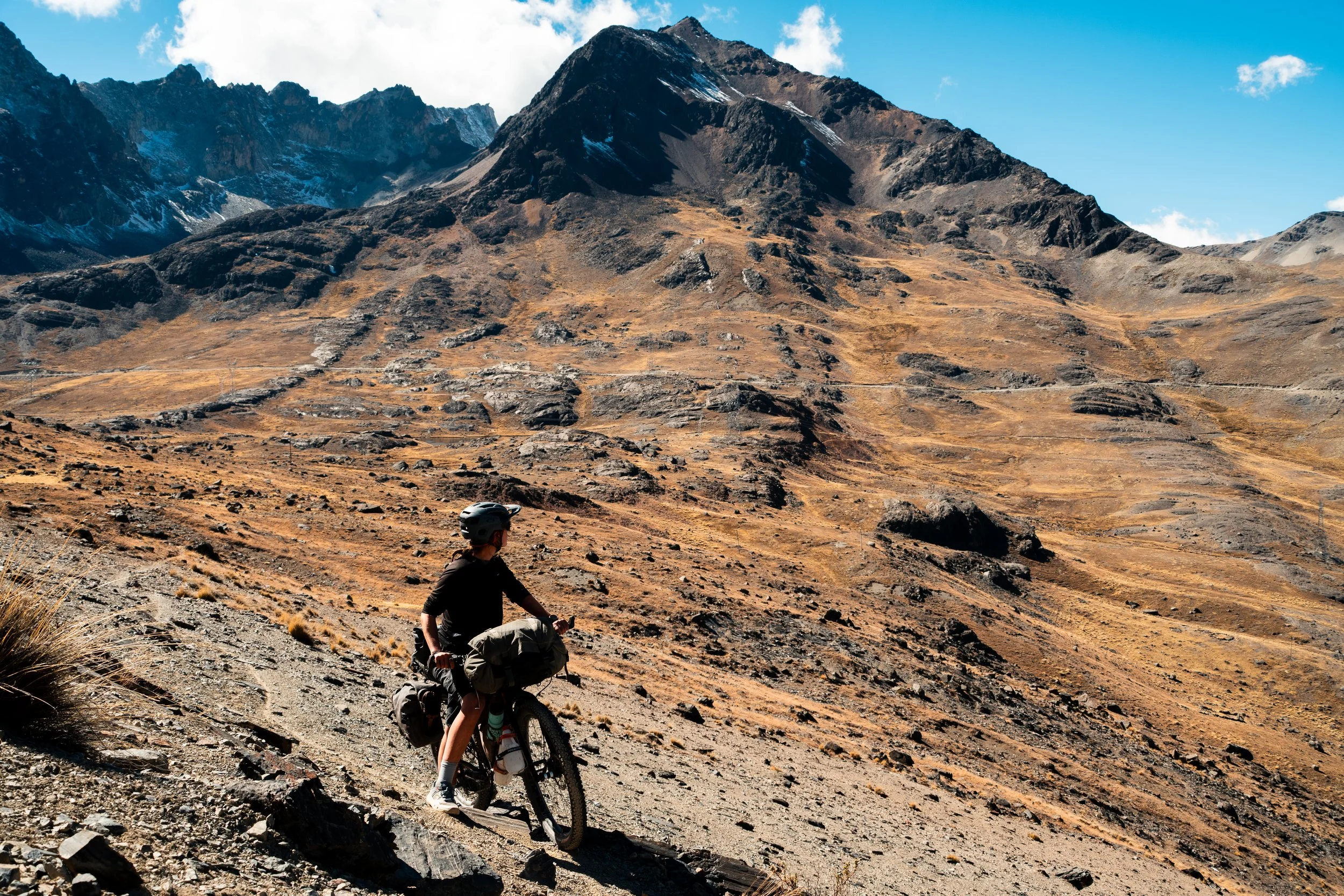
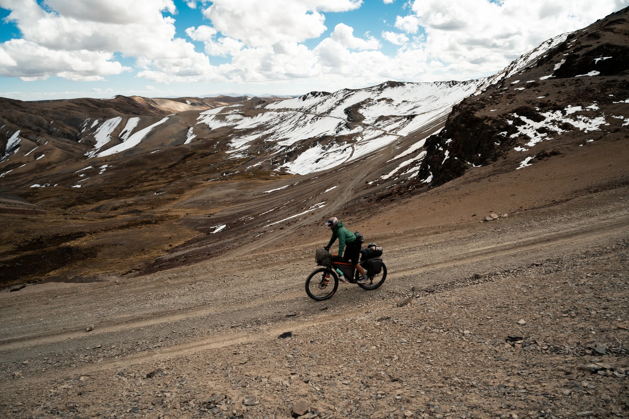
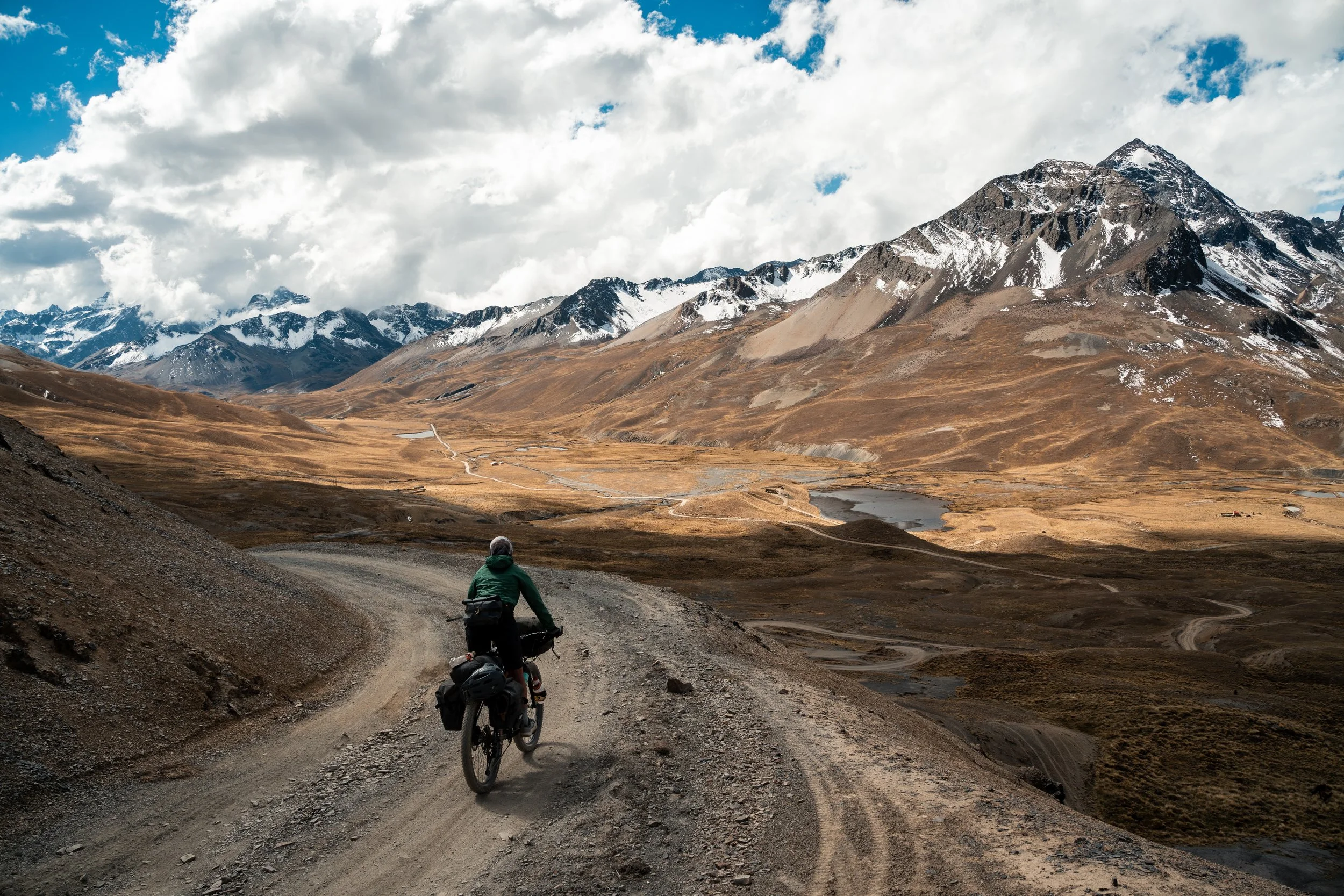
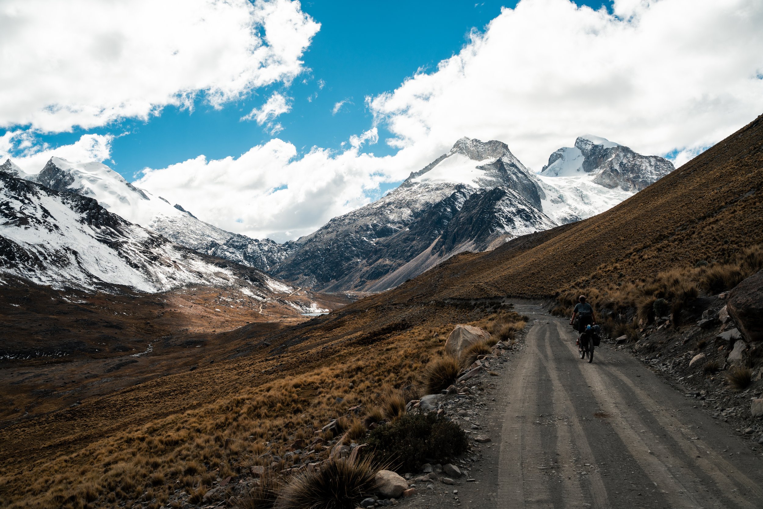
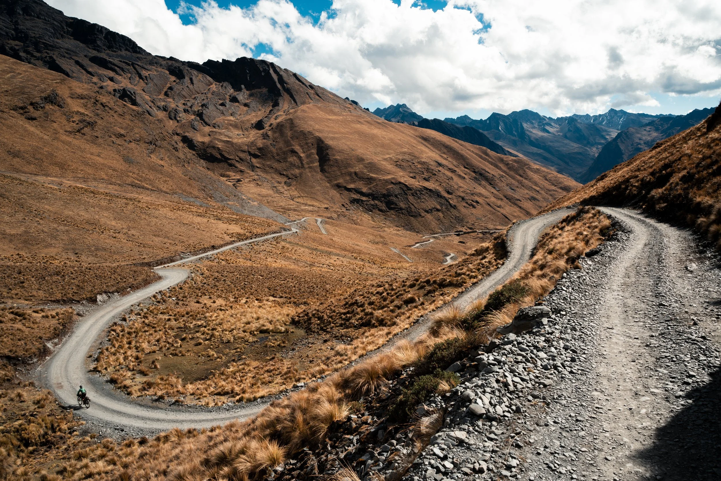
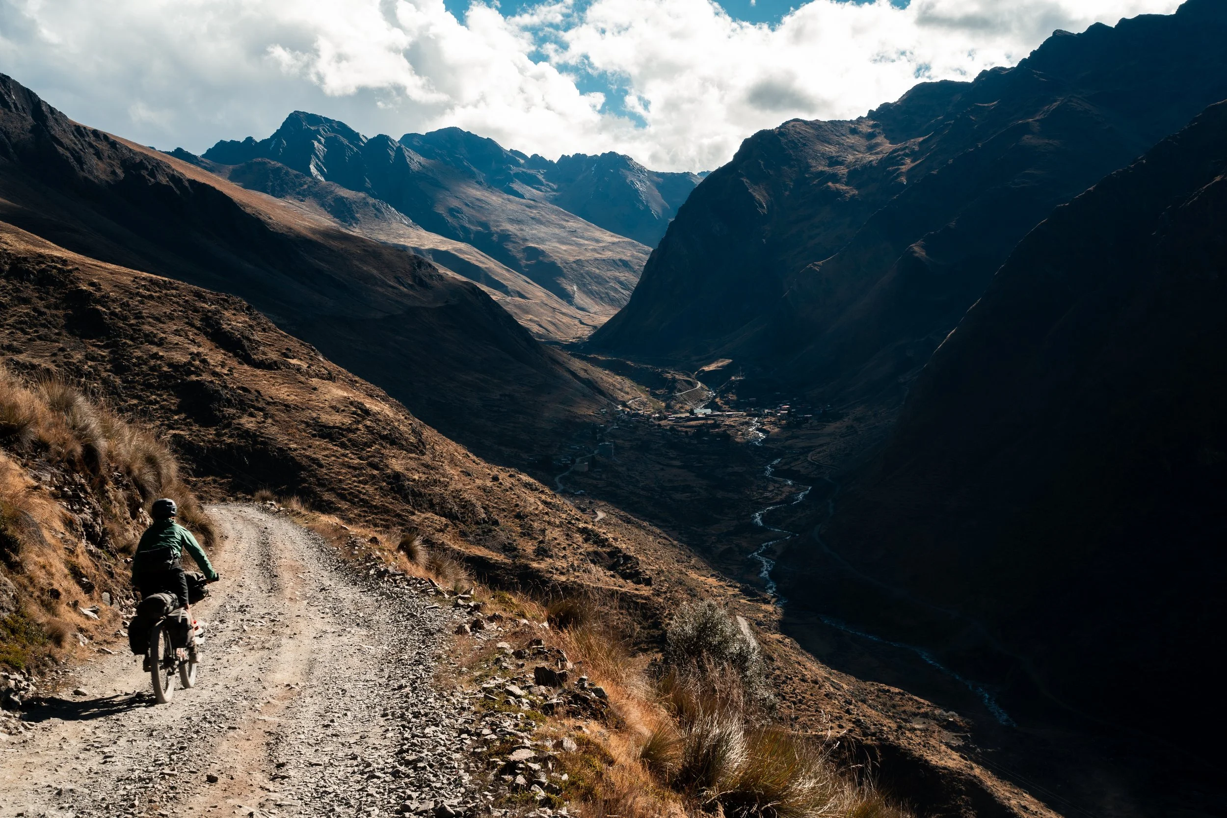
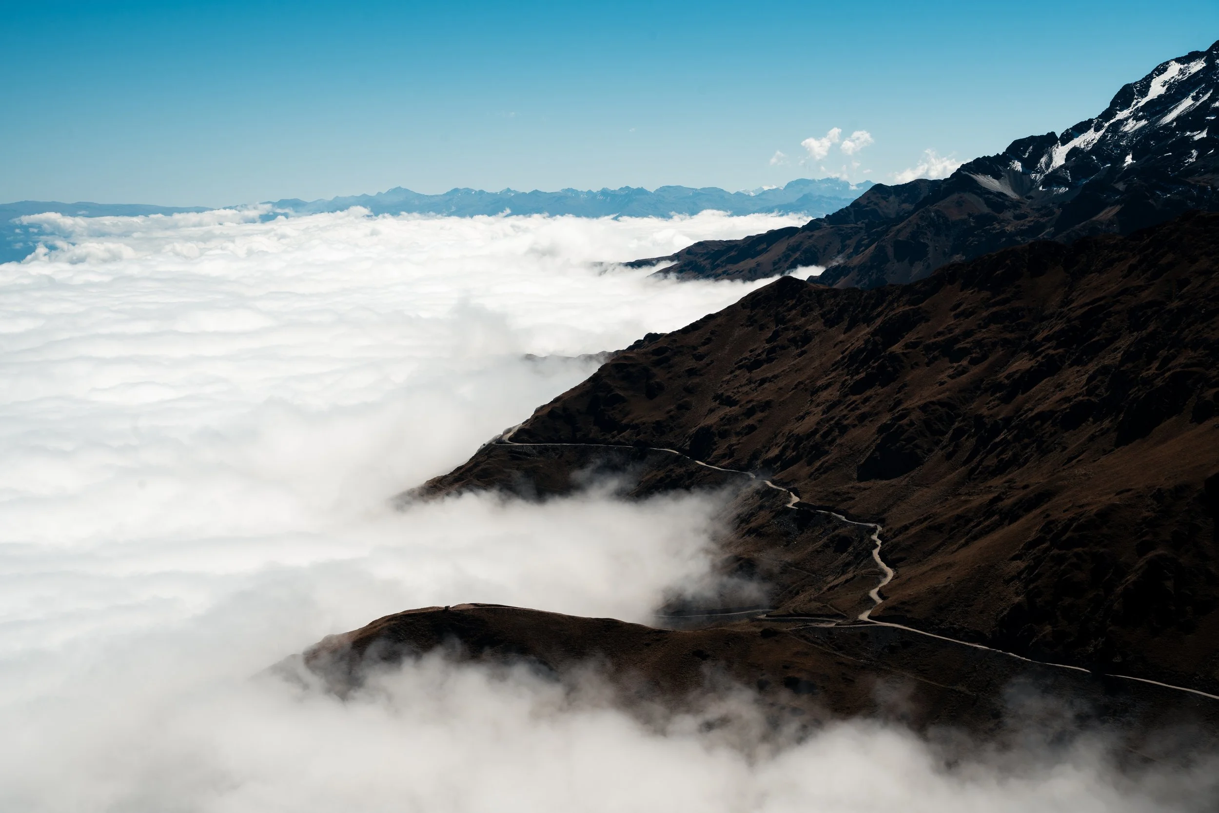
Morning brought one last climb before the town of Sorata. This was our seventh day without rest or a shower, and and we had run out of food. Despite the gentle gradient of the climb, our bodies complained and we had to push intermittently. Looking out from the top, we saw the Sorata valley, with the town buried below cloud some 2000m below us. We made our way down the 25km descent, desperate for some food and a shower. 4km out from town, I heard a bang on a very innocuous piece of road (compared to what we had been riding). Another spoke had broken on my rear wheel. I had one spare left, but given that was two broken spokes in the space of a few hundred kilometres, I wasn’t confident in my ability to go much further without spares. We walked the last distance into town, and booked ourselves into a hotel on the outskirts overlooking a river. The lady was surprised to see us, despite our booking confirmation, and seemed more annoyed than anything else when we said we wanted to stay 4 nights, not 1. This was even more confusing when it looked like they hadn’t had any guests for nearly 2 months. Eventually she warmed up a little, and I was able to find a bike shop in Cochabamba (a town on the other side of Bolivia) who could make me some spokes. Only time will tell how long we are in Sorata waiting for them, before we begin on the Tres Cordilleras route that will take us into Peru.
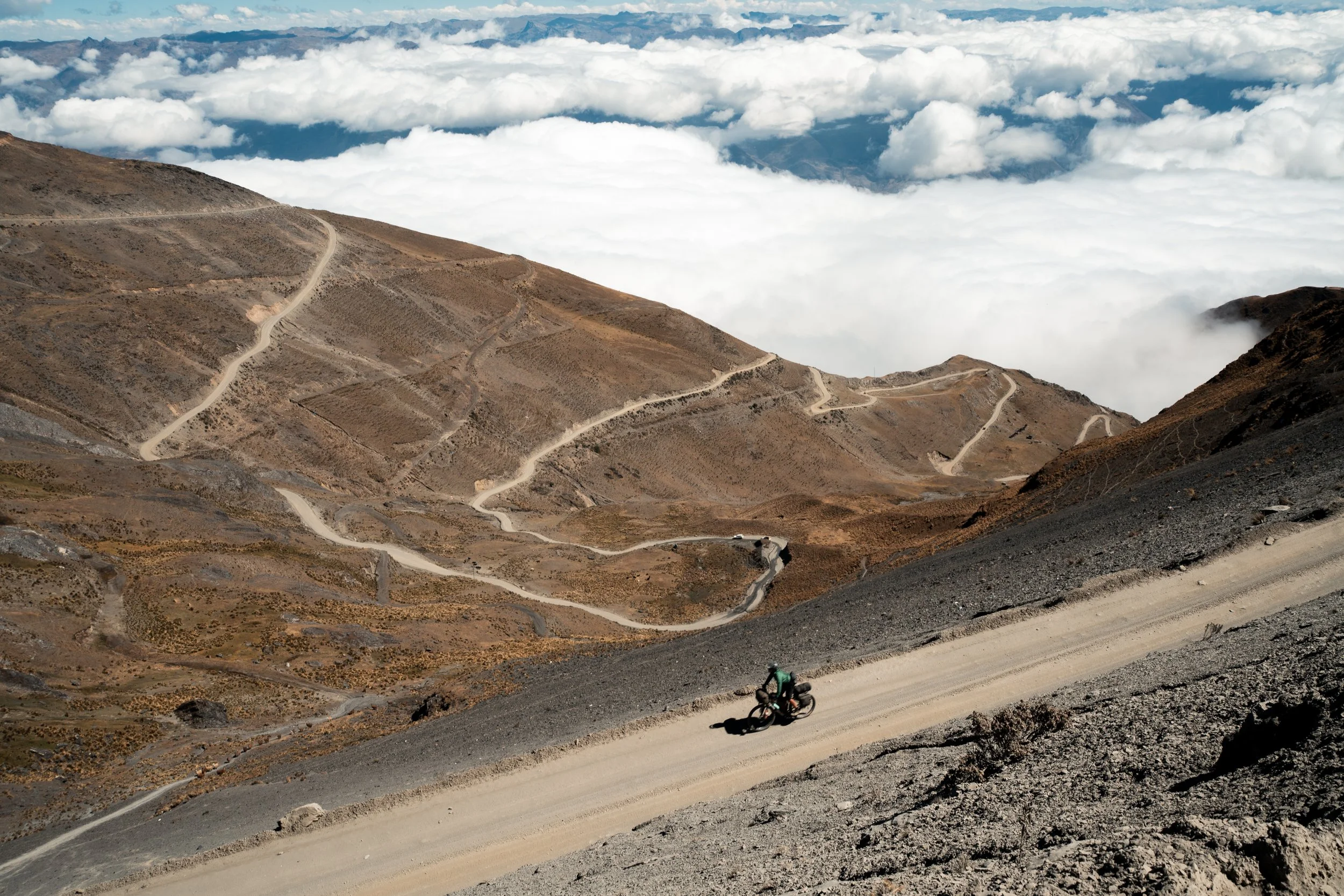
Descending into Sorata