La Paz - Sajama
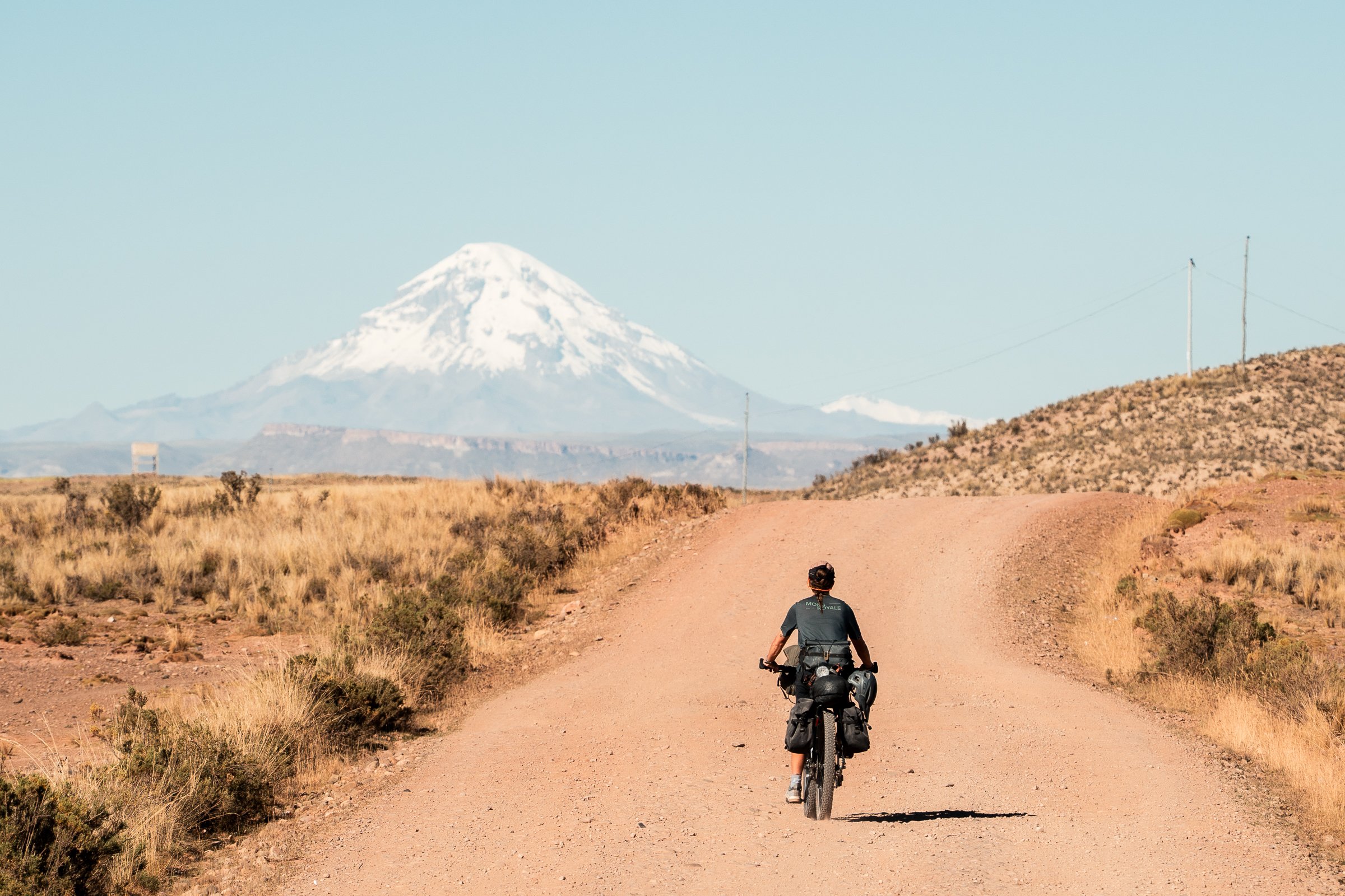
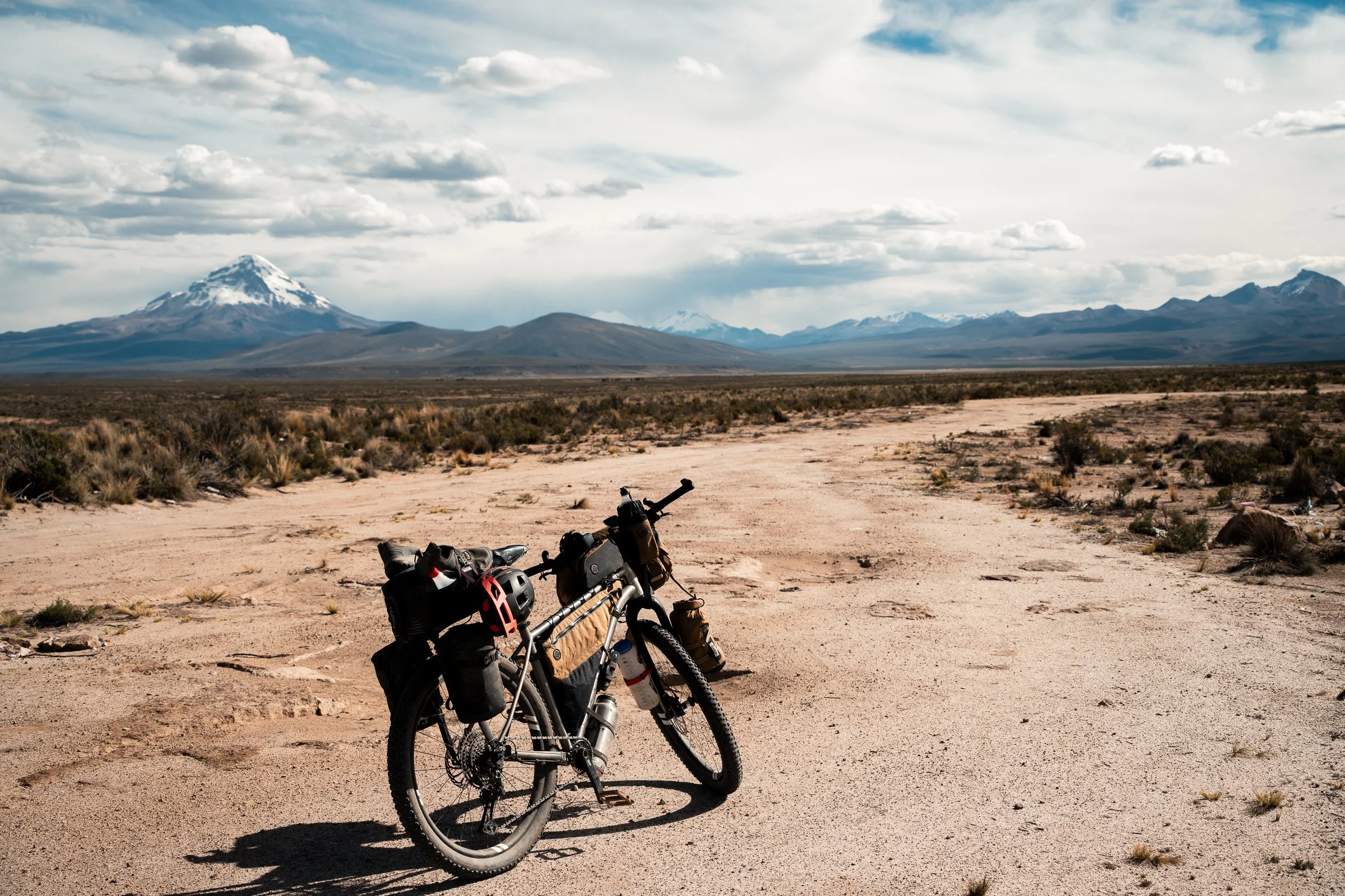
Sajama dominates the landscape for hundreds of kilometres
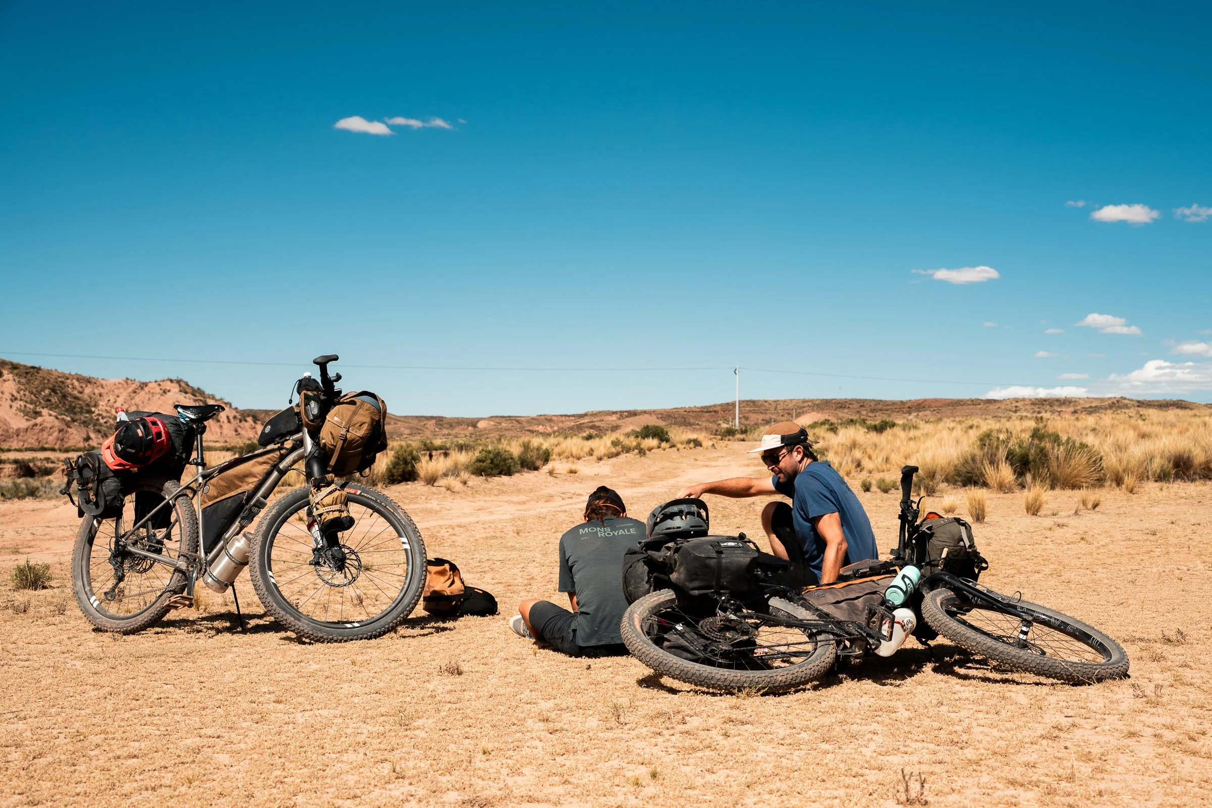
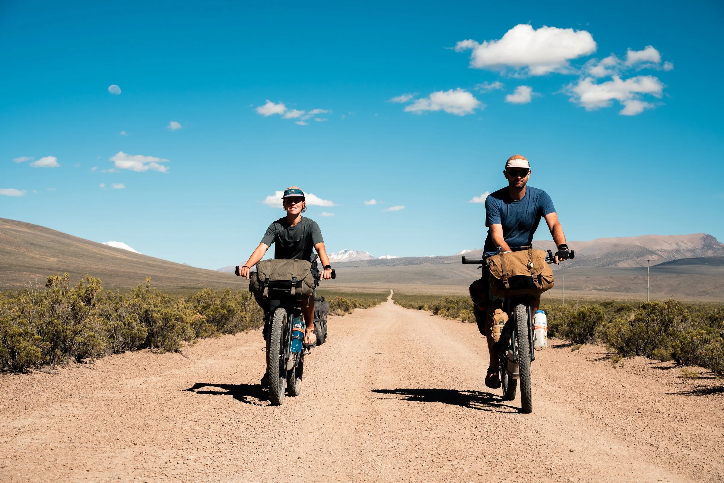
After a few days letting our legs recover in La Paz, our next goal was to get to Sajama (Bolivia’s tallest mountain at 6542m) and the border with Chile, to begin the Ruta de Las Vicuñas. Having no information on this route, we expected mostly flat, uninteresting terrain with a few small villages; little did we expect to find Bolivias oldest church, constantly changing landscapes, and a complete dearth of food.
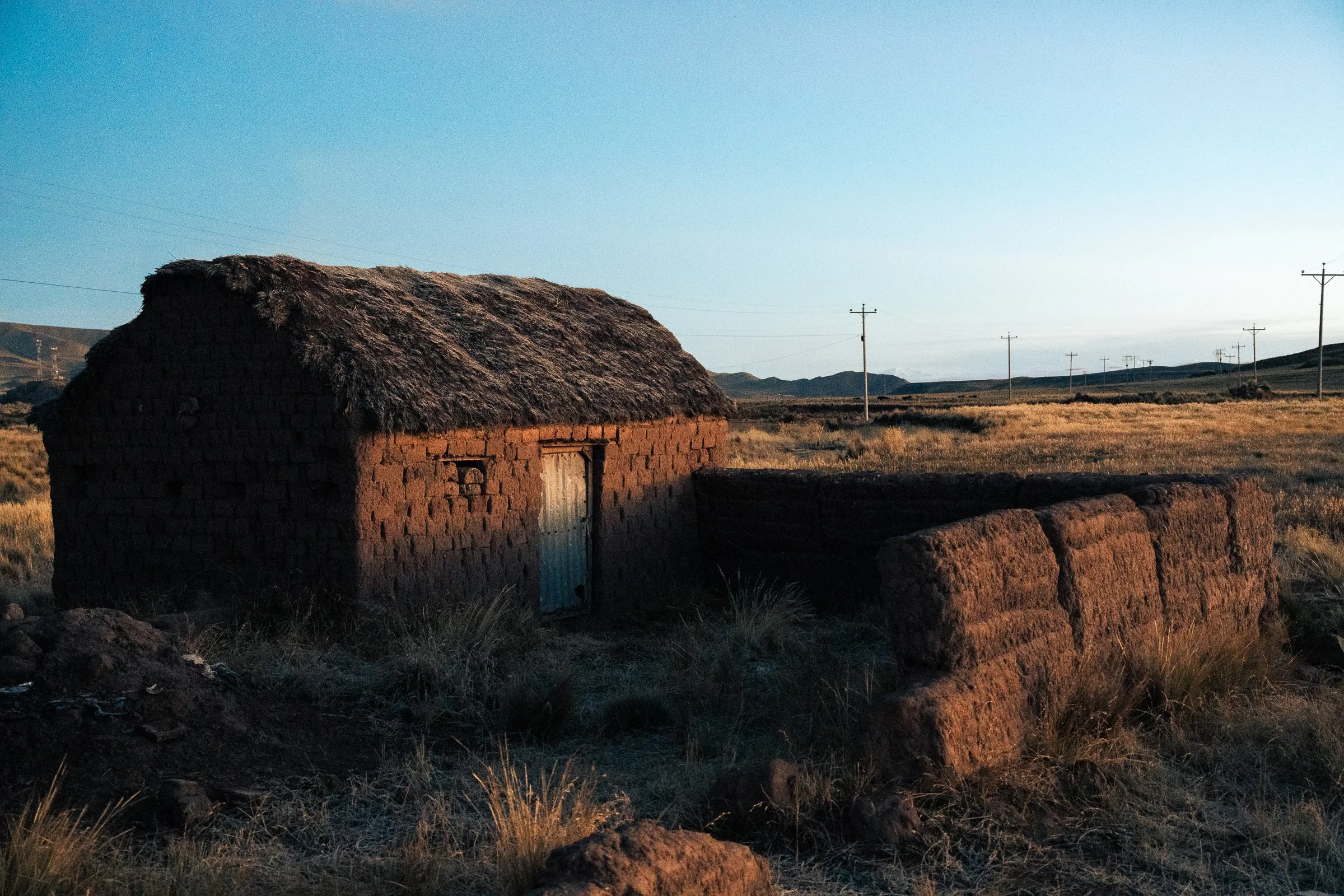
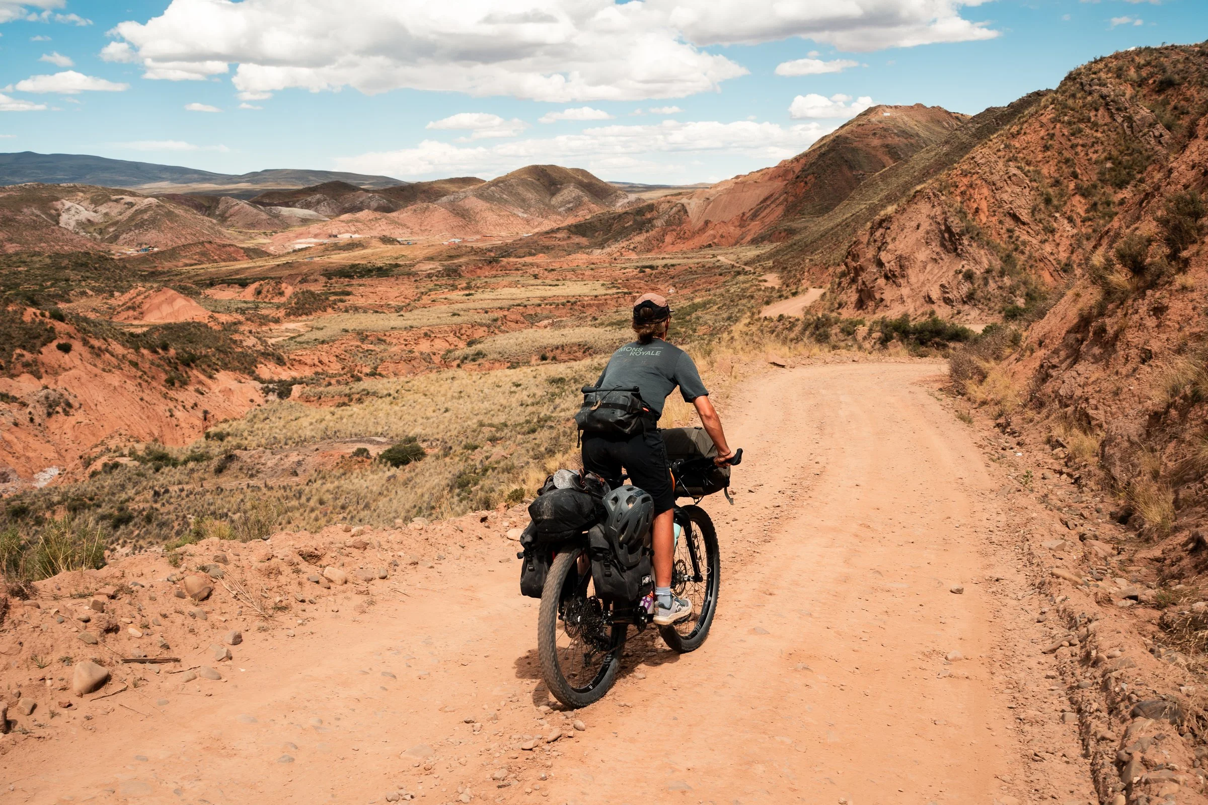
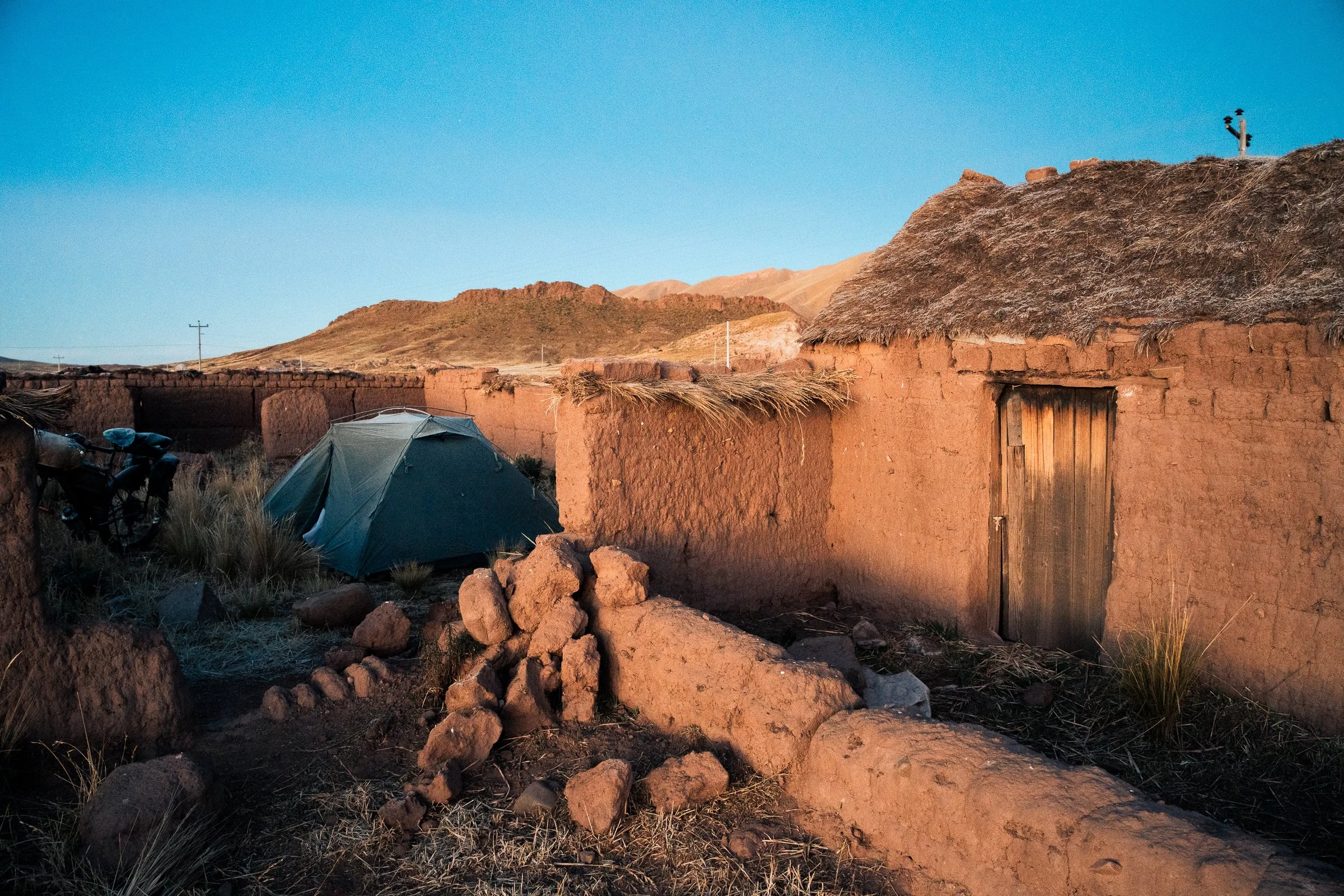
Our trip out of La Paz involved the Telefericos, the system of gondolas that substitutes as a mass transit system, lifting you over and out of the basin the city lies in. Getting our loaded bikes through the gates and up stairs went much smoother than expected, and before long we were leapfrogging lorries over the half tarmac-half potholed highway to the satellite town of Viacha. From here traffic became much quieter, as we passed over low hills and flat farming valleys, towards the village of Comanche where we hoped to find somewhere to camp for the night. Unlike the Yungas, this stretch was all tarmac so the going was easy, when we could catch our breath (we were still at 4000m elevation). The terrain reminded us of the Canterbury high country, with frequent farms (often a mix of new and roofless stone buildings) and tussock clad hills. Just before sunset we found an abandoned farm, and set up our tent within the stone walls. Sleep was hard to come by, as a dog came to the tent no less than 5 times, barking persistently only metres away each time.
We woke to a frozen tent, but the rising sun rapidly brought warmth. I had an unmistakable rumble in my gut whilst eating breakfast, and it wasn’t until after midday that I felt confident to get on my bike without soiling myself. A couple of hours later we were in Corocoro, the major town in this region. It was a mining hub, and the statue in the town plaza was of a miner holding a pickaxe in one hand, and a rifle triumphantly in the other; this commemorated ‘something’ that occurred in the 1980s. We munched cheese and crackers and resupplied snacks then headed off, hoping to get as far as we could before sunset. Unfortunately, just at the outskirts of town nausea suddenly set in, and I lost all energy. Between pushing my bike and dry heaving, we managed to make it a few kilometres (mostly downhill rolling) before I completely packed it in. We put the tent up in amongst tussock just outside General Pando. Lauren made my bed for me, and I was restlessly asleep by 6:30pm.
The road into Corocoro
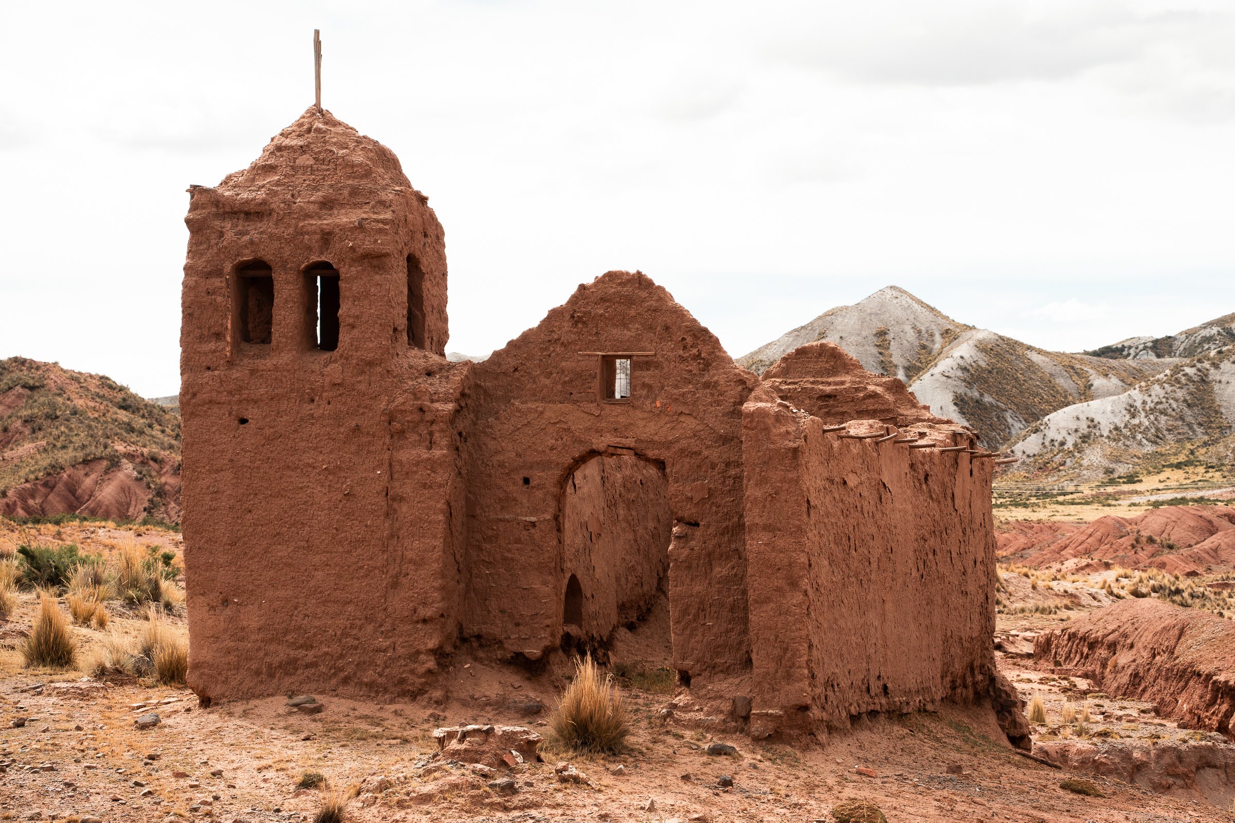
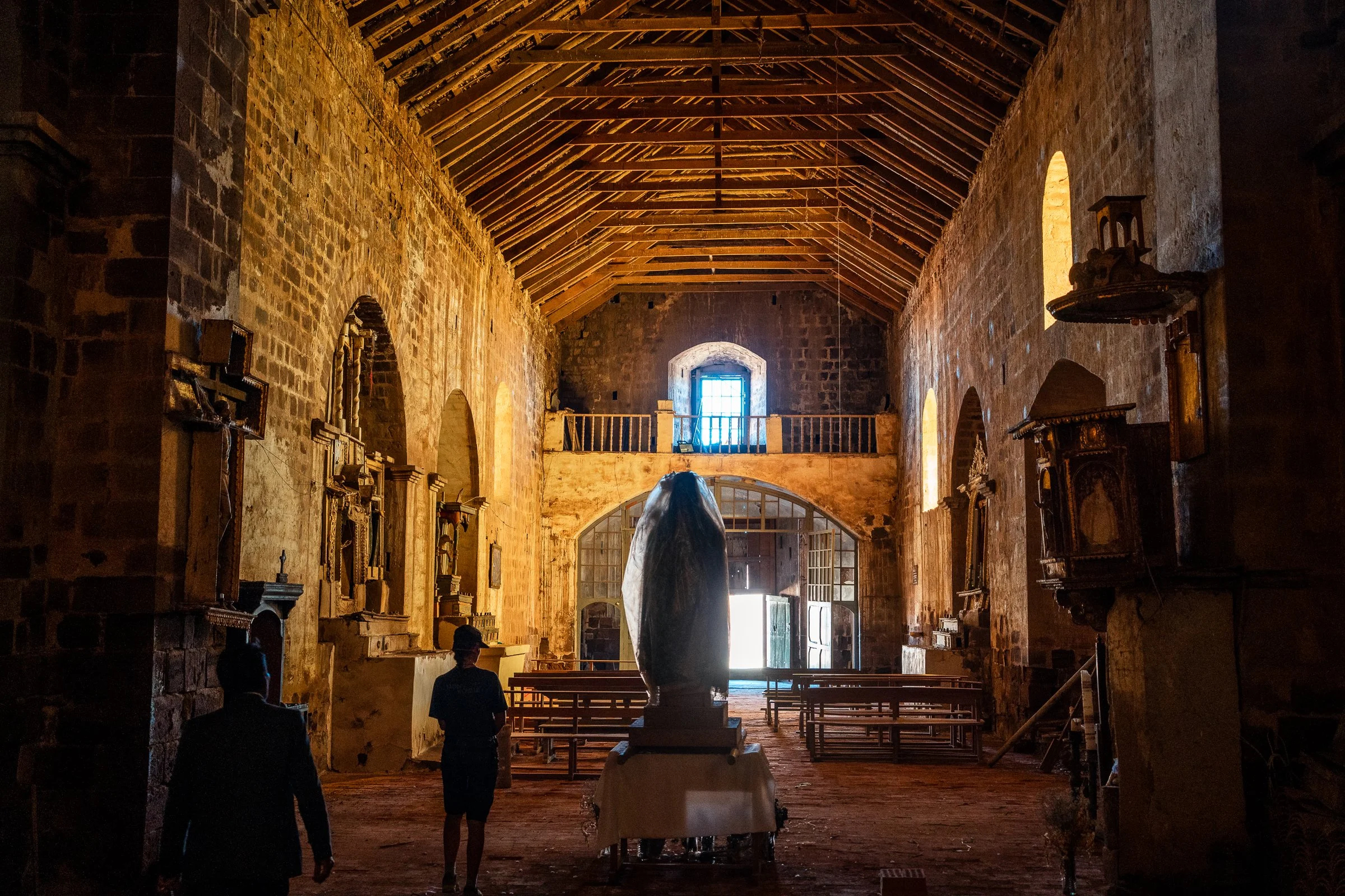
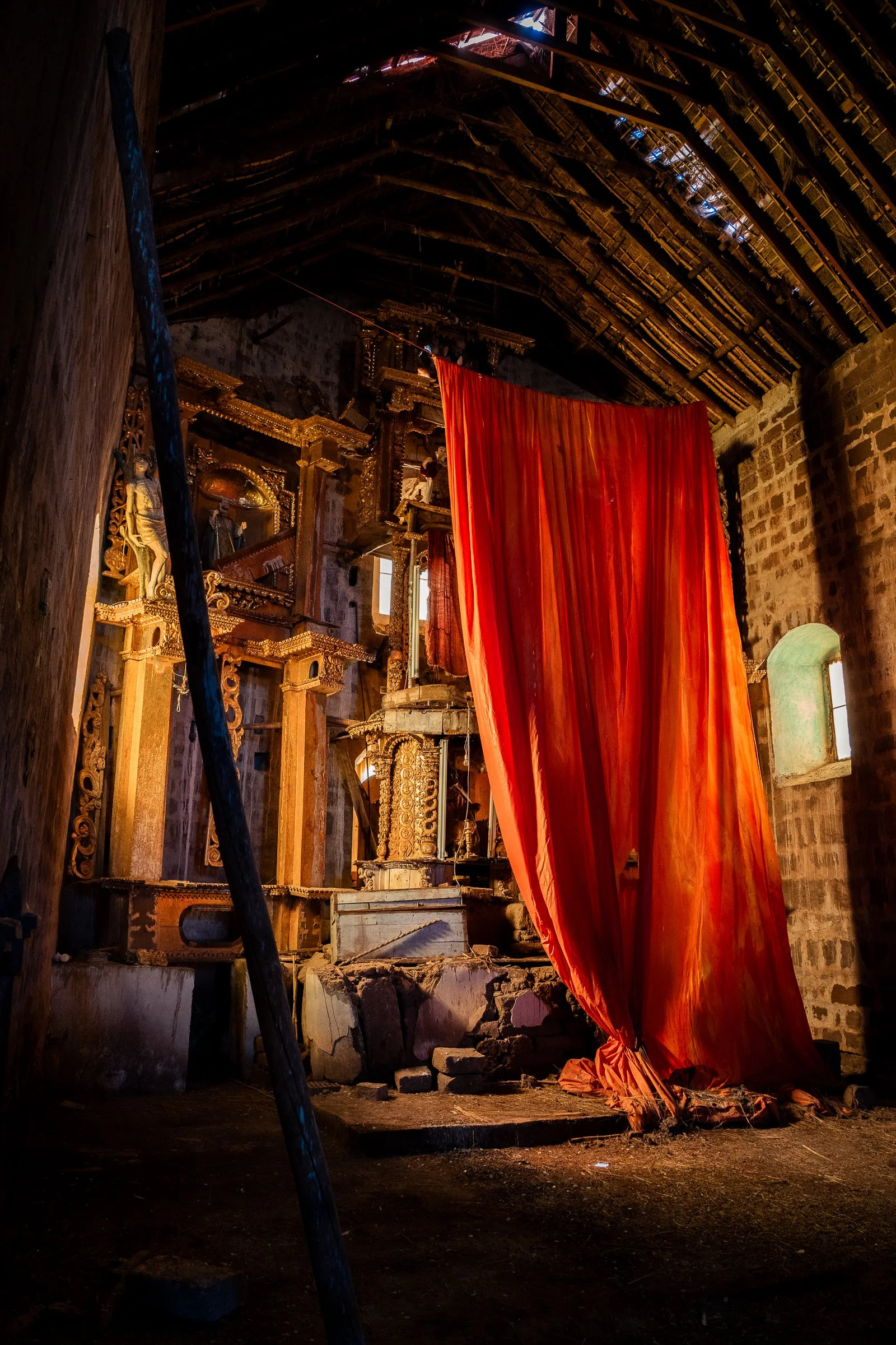
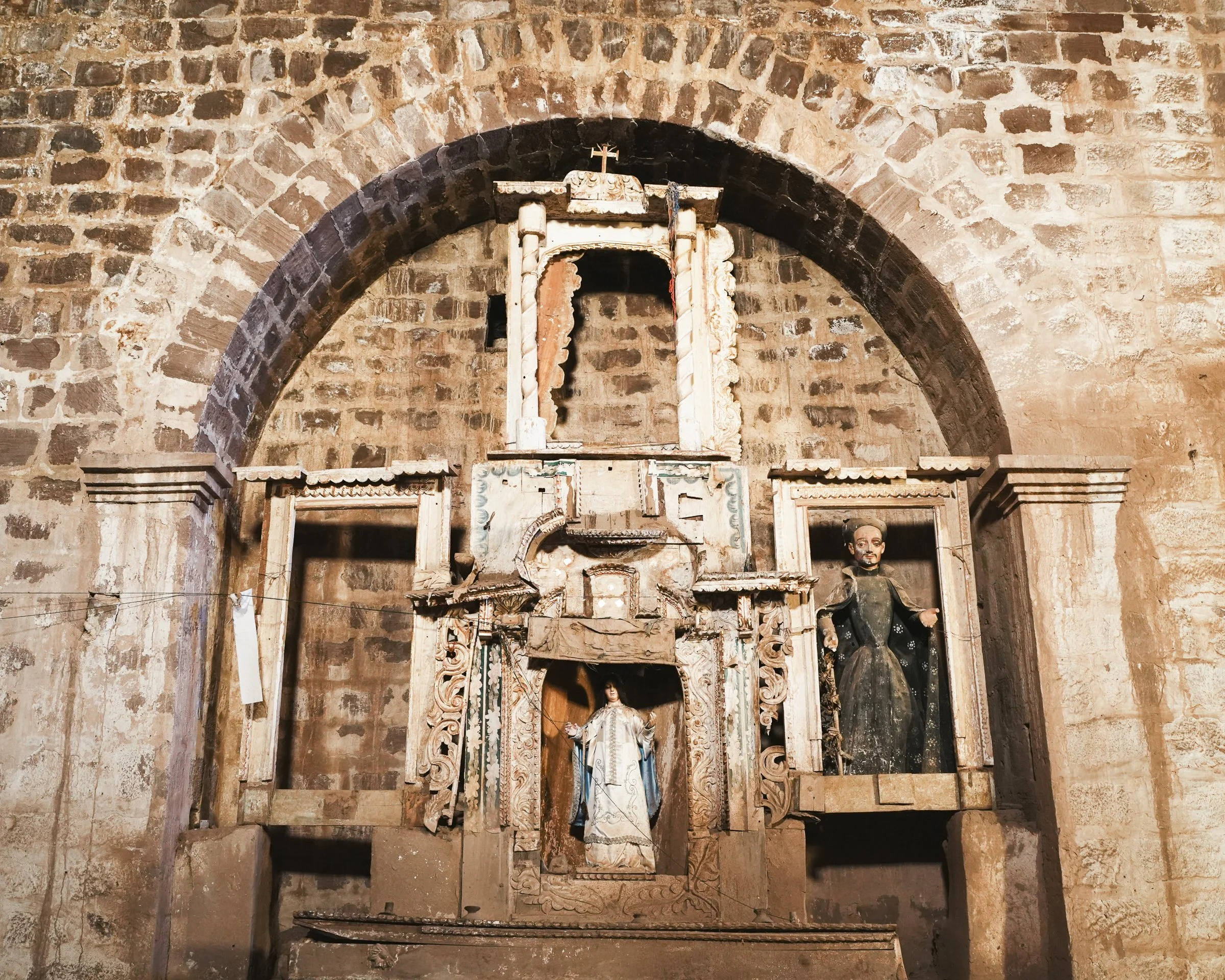
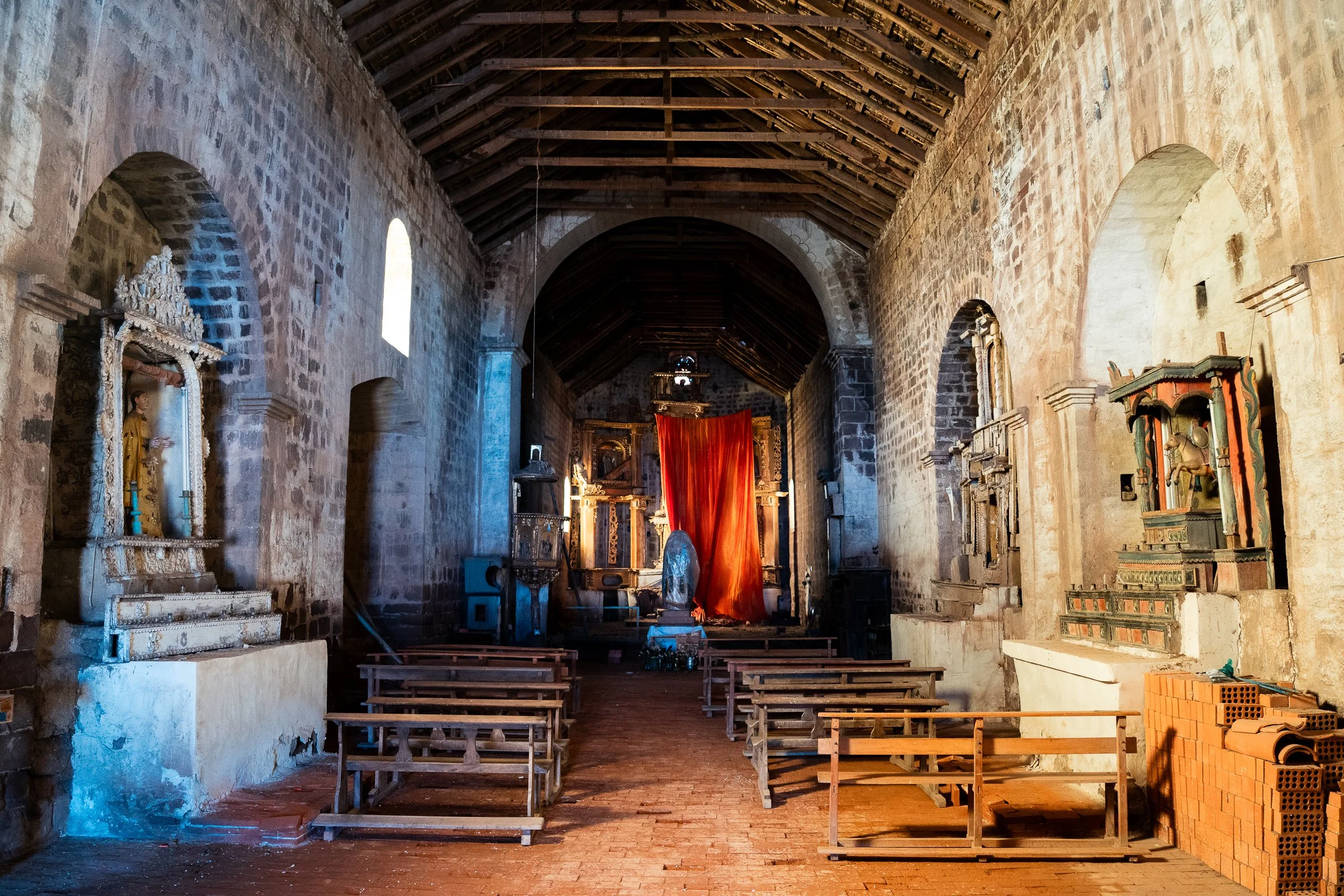
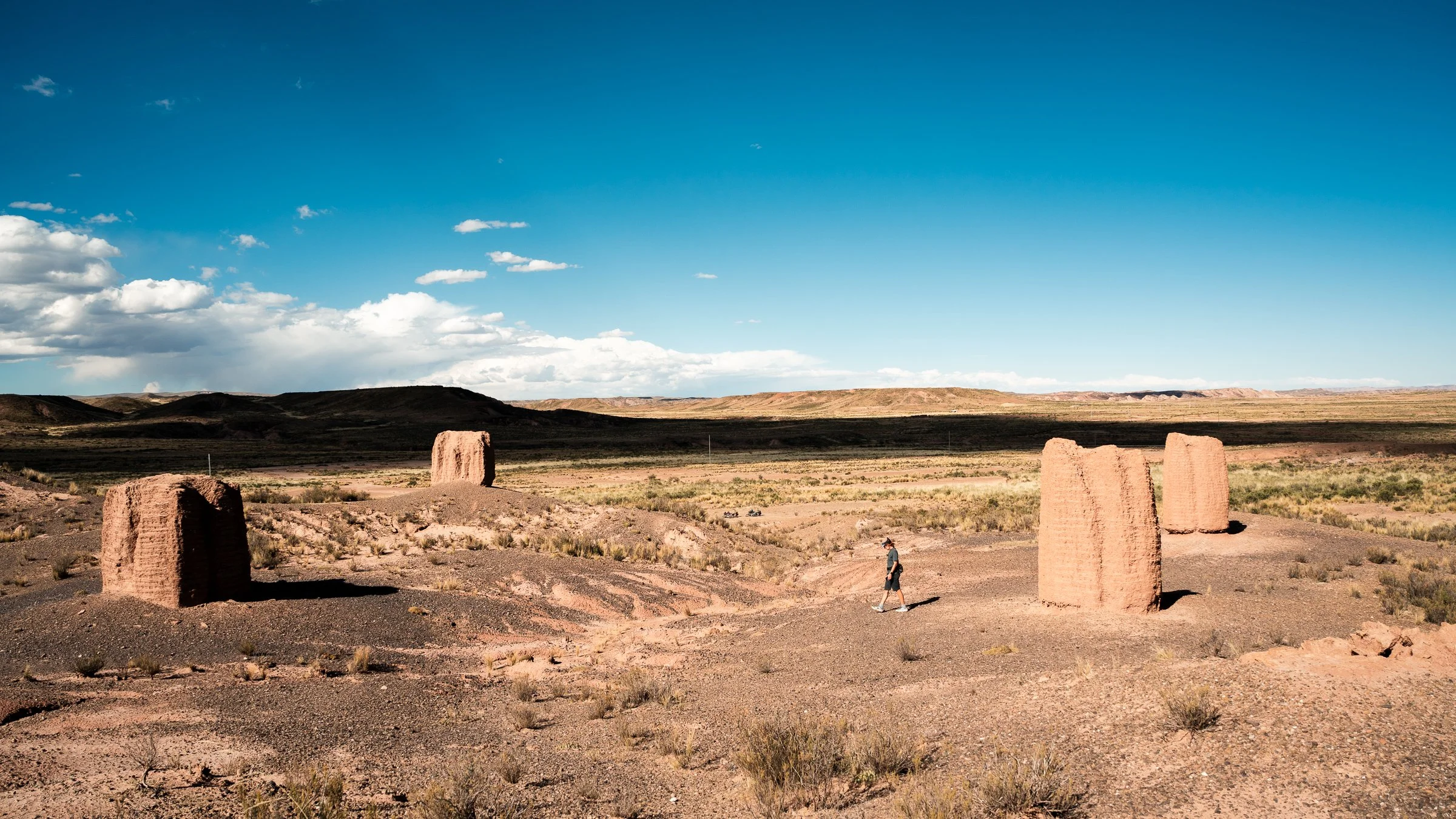
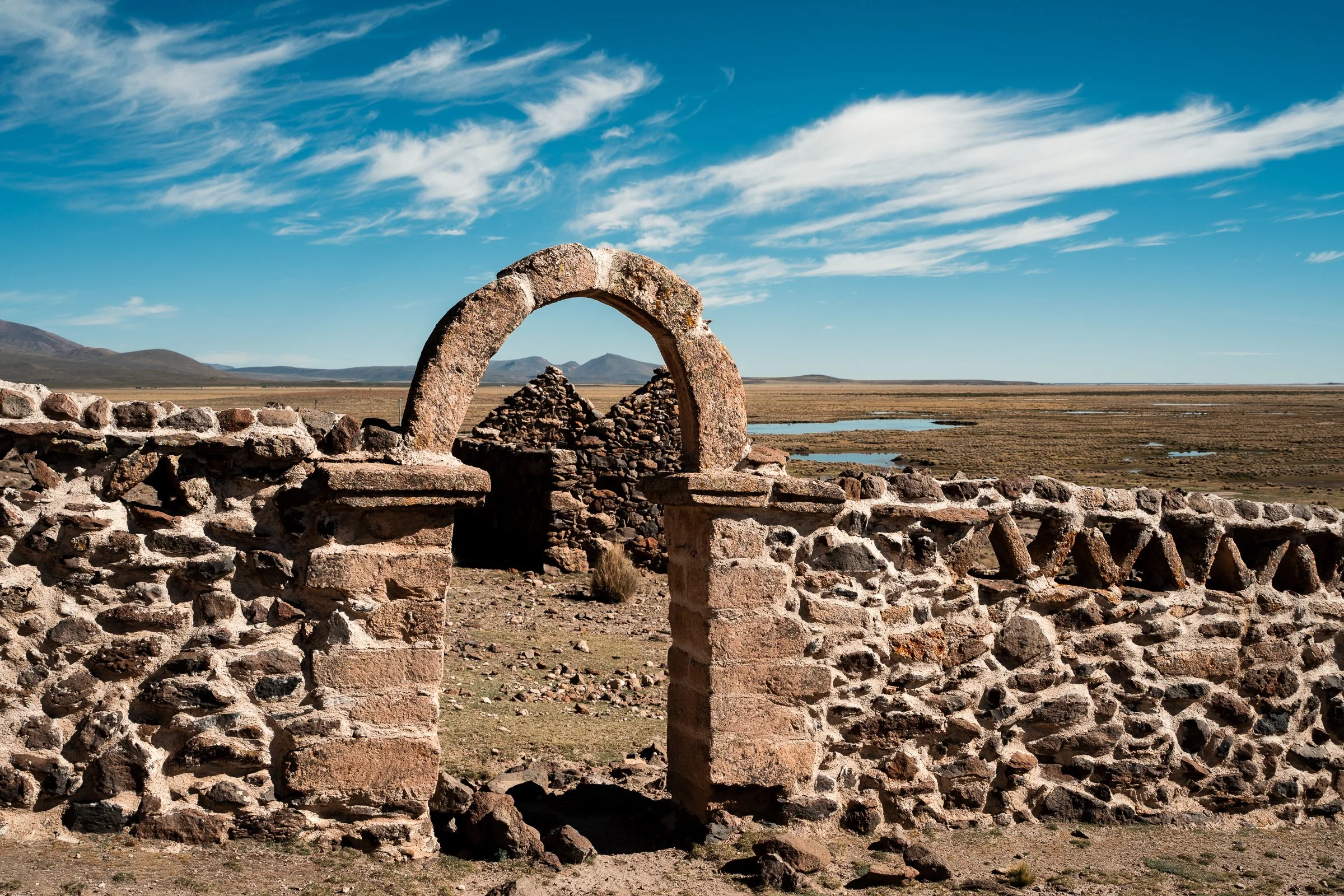
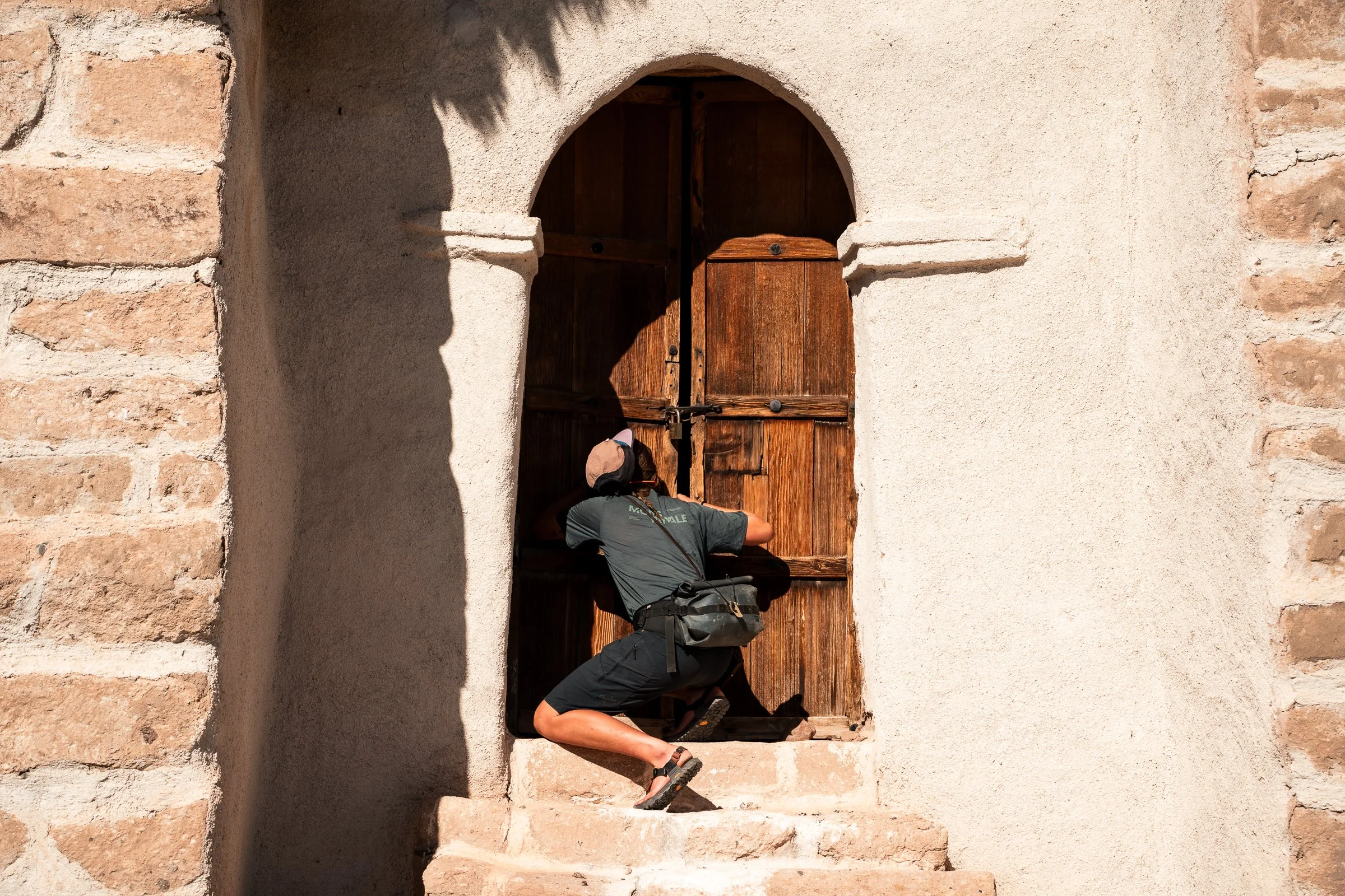
Come morning I was no longer nauseous, but my appetite was non-existent. By now the scenery had changed; it was more barren, canyon-filled, and shrubby. Barely 5km after setting out we came to the town of Caquingora, where we hoped we could find a tap to quickly refill our water. On entering the deserted town plaza, two things immediately stuck out - a large school, with pupils waving and laughing at us out of the windows, and a very old looking church. A plaque dated the church to 1555. It wasn’t long before a well-dressed man in a suit with a very hospitable face came strolling across the plaza. He shook our hands, and then proceeded to explain the history of the church to us (in Spanish). Not speaking the language, we didn’t pick up as much as we would have liked, but managed that he was saying it was Bolivias oldest church, and the foundry that made the large bell also made the bells for the San Francisco church in La Paz, and another in Peru. He then asked if we wanted to see inside, which we eagerly agreed to. He literally ran off and returned with the keys, the whole time explaining different facets, like how two different groups of people had built the two towers, with different types of stone (at least that’s what we took).
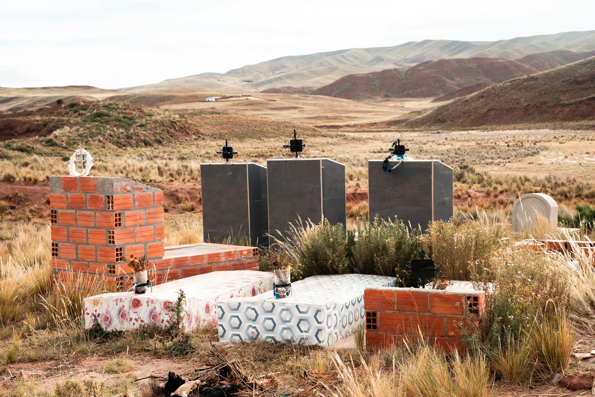
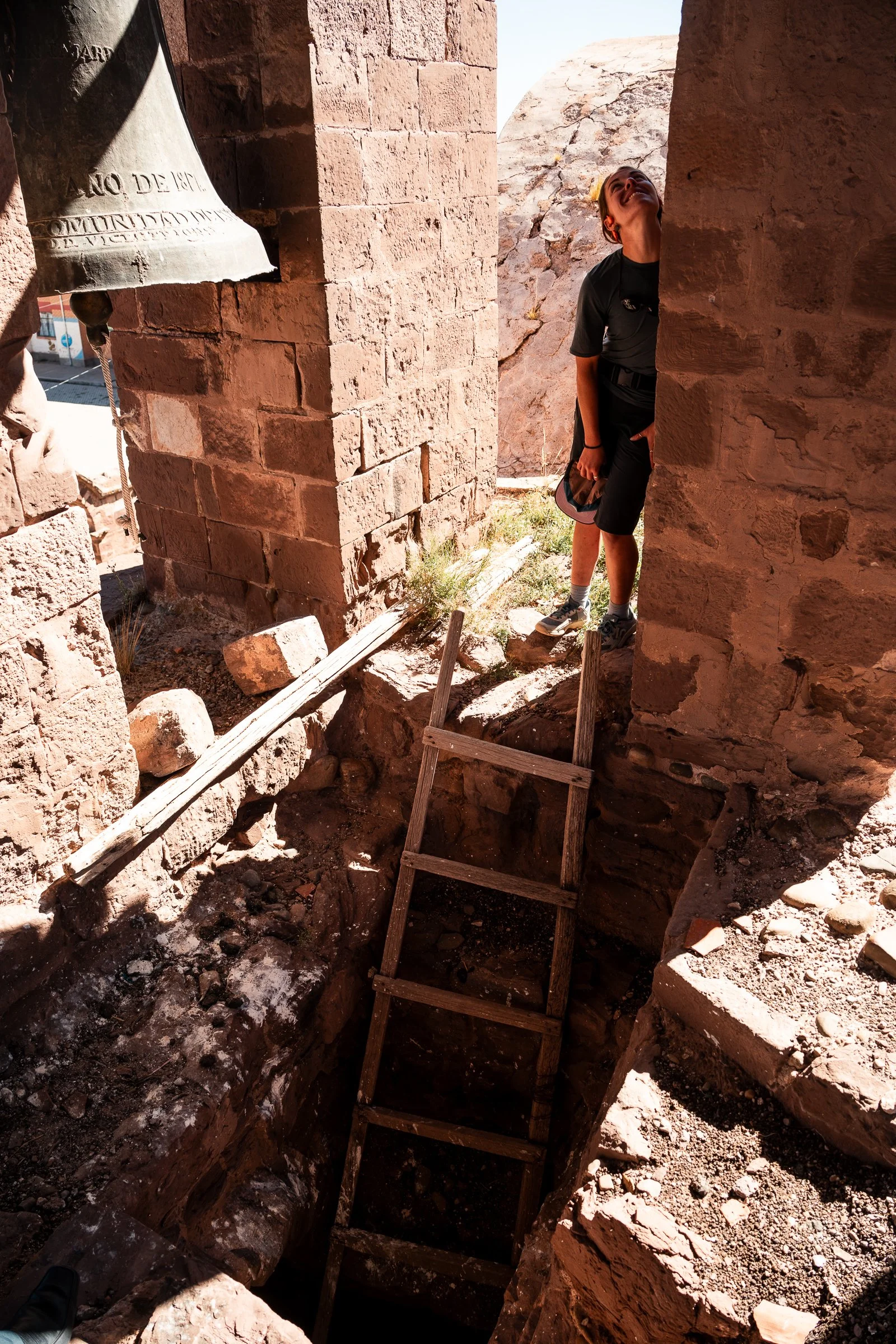
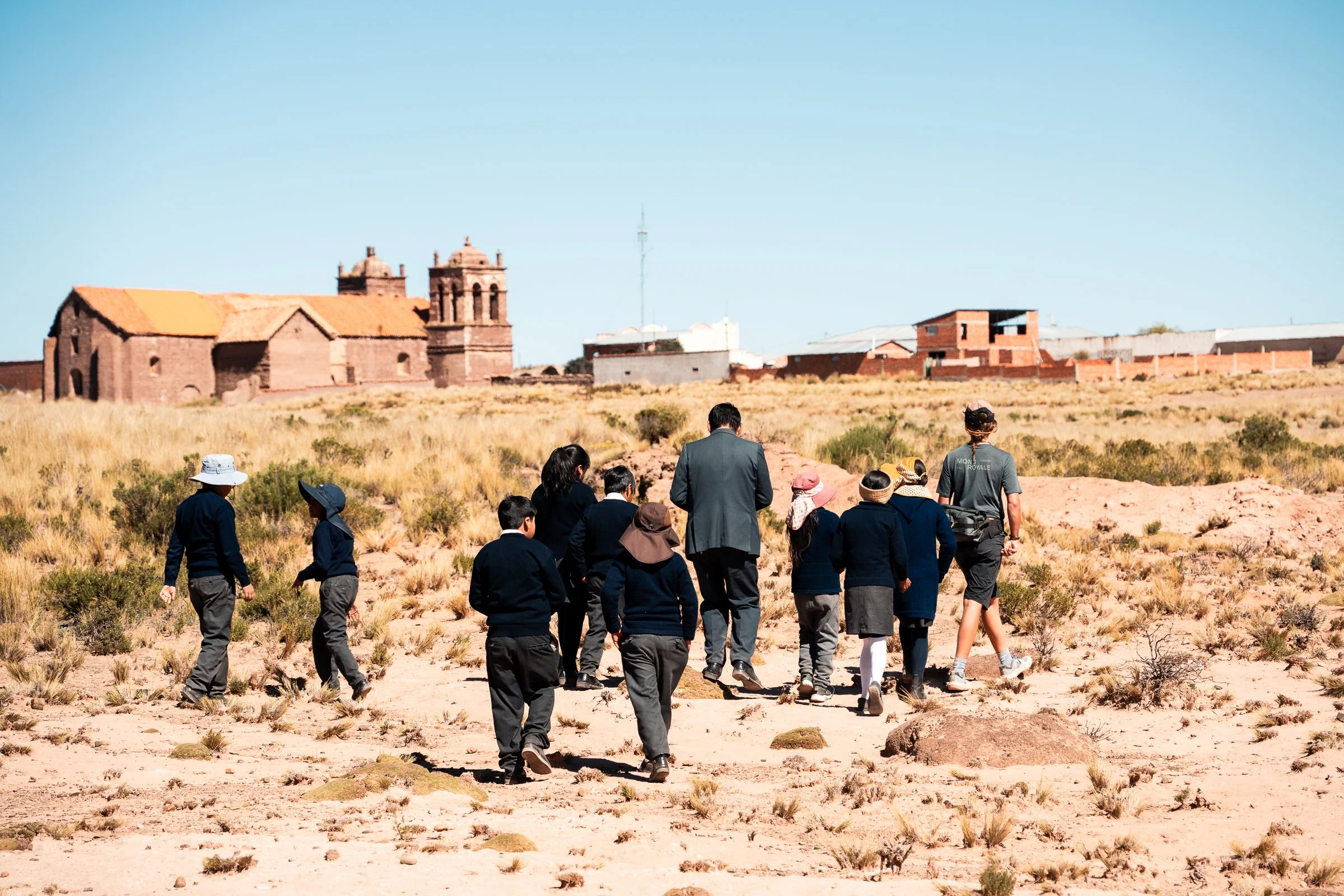
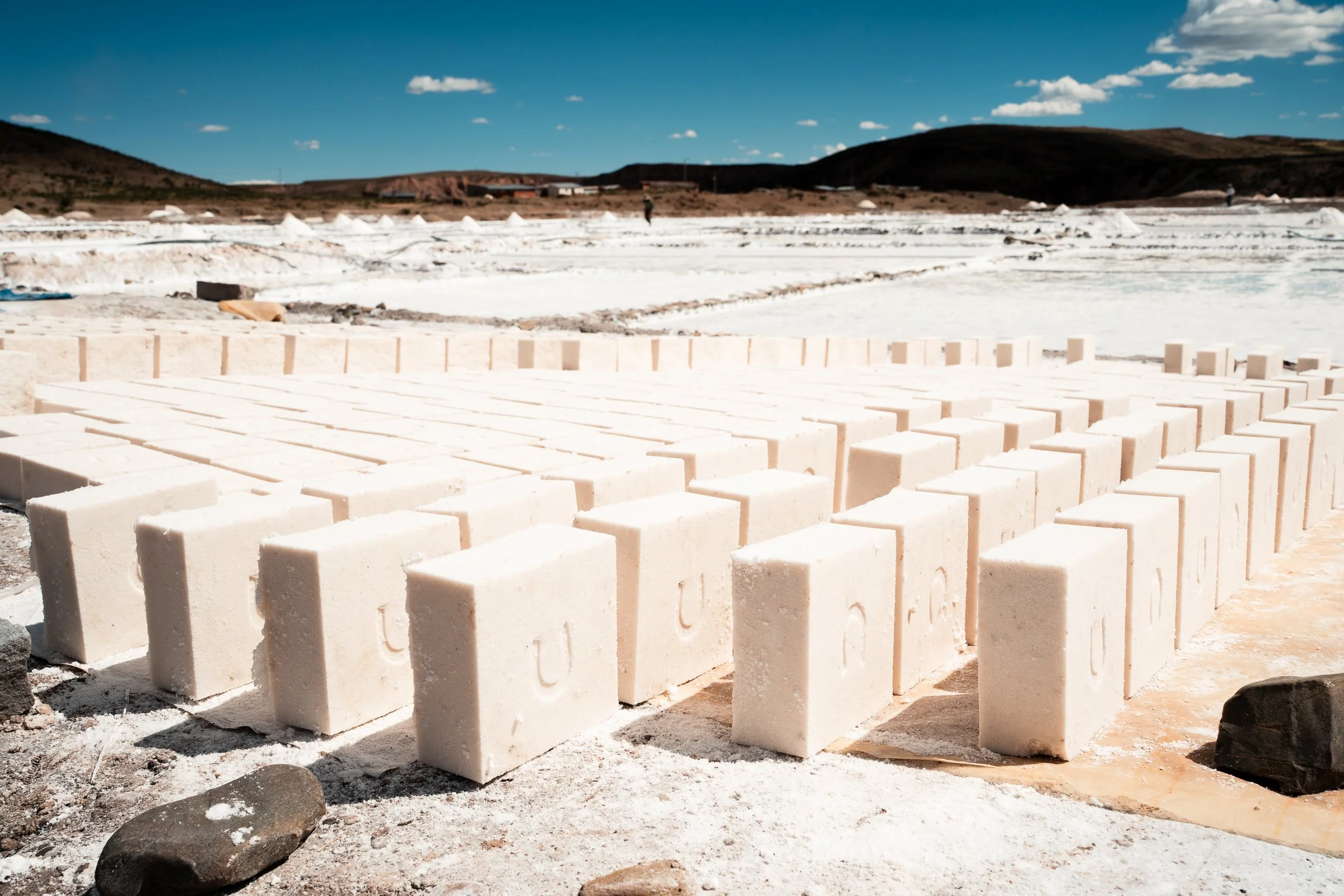
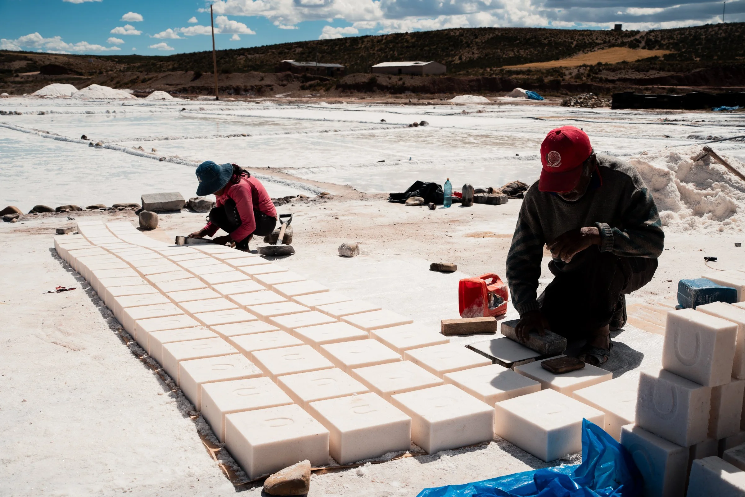
The inside (all original apparently) was another matter - the roof was thatched, and in a very poor state of repair. Bird droppings and straw covered the ground, and the few pews remaining didn’t look like they would last much longer. Nevertheless, it was still used every year for Corpus Christi, with people coming from all over the region to celebrate. He took us up to the bell tower, through tight stairways and up very rickety ladders I did not think would hold my weight. Once outside, he asked if we could spare another moment; he now yelled into the school and about 10 students came running out. He took us to the nearby cemetery and showed us some family plots of one of the students. His grandfathers grave was shaped like the church in Corocoro, and his uncles had a pan-pipe, as he was a musician. This was all backdropped by canyons and desert hills, which was where our impromptu tour now took us. With the kids laughing and playing, we walked to the edge of the network of canyons nearby where we were shown the hundred of viscachas (a relative of the chinchilla) that scuttled and leaped throughout the canyon. We headed back to the plaza, and now our tour was over for real. We said our thanks and goodbyes, and realised it was nearly midday already. Another half day, but the tour was worth it, even if we didn’t manage to refill our water. We stopped at the salt lagoons on the outskirts of town, where blocks of salt dried under straw roofs. We were told the water here was good for the throat. With salt crystals at the bottom, and floating layers of salt on the top, we don’t know how we expected it to be less salty than it was, but we quickly regretted our decision and the intense salinity dried us out and brought on nausea.
Blocks of salt drying in the sun
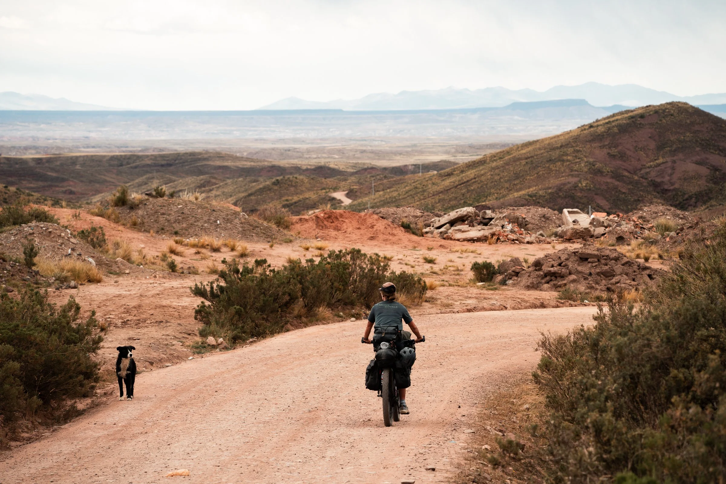
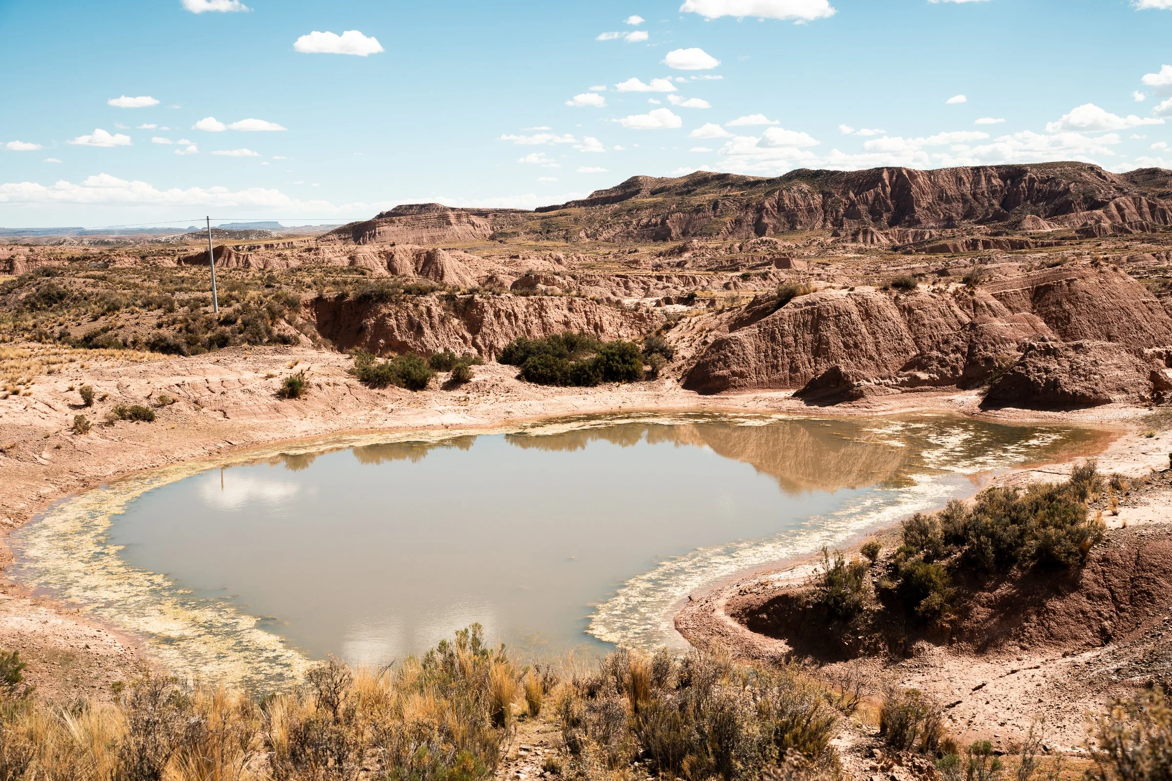
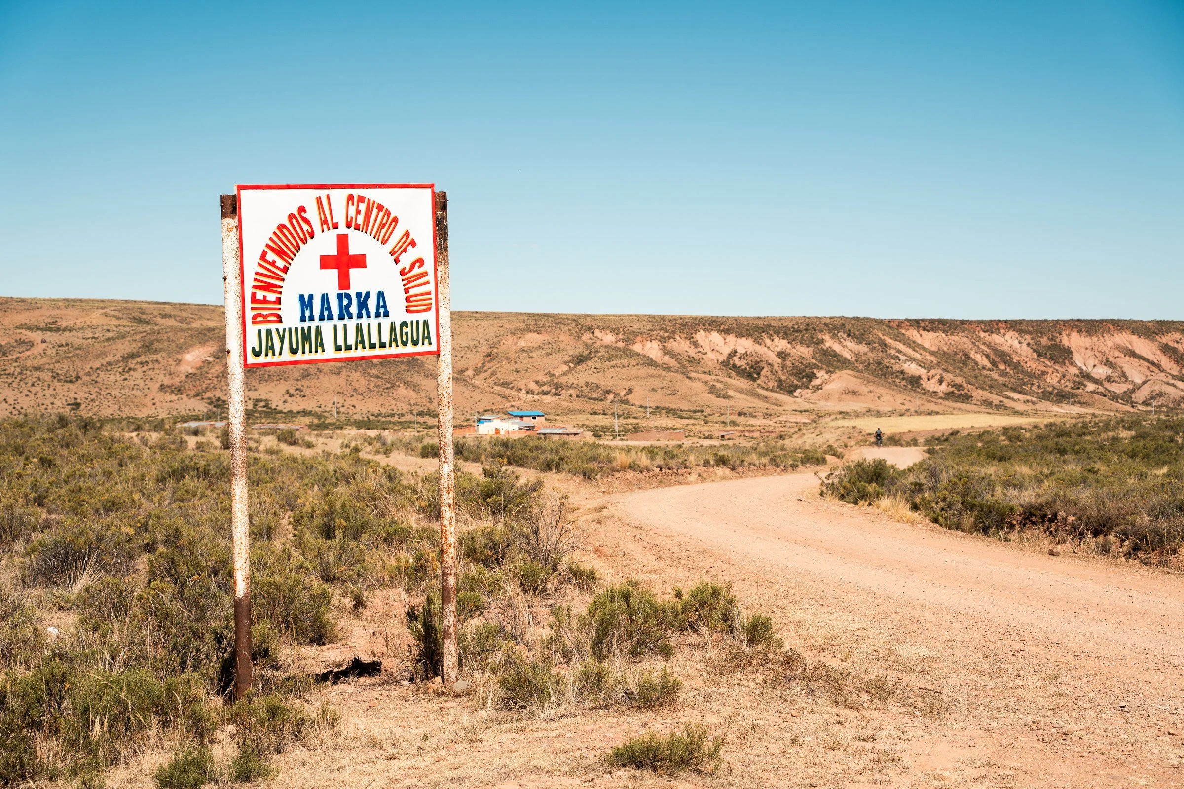
We passed through the village of Jayuma Llallagua, where the broad river on the map was just another salt flat, with small pools of saline, piles of salt, and drying blocks as far as we could see. A man stopped us and did the universal male ‘gear check’ of our bikes; squeezing the tires to check the pressure, counting the number of gears, and doing a general 360 inspection, before nodding approvingly and letting us on our way.
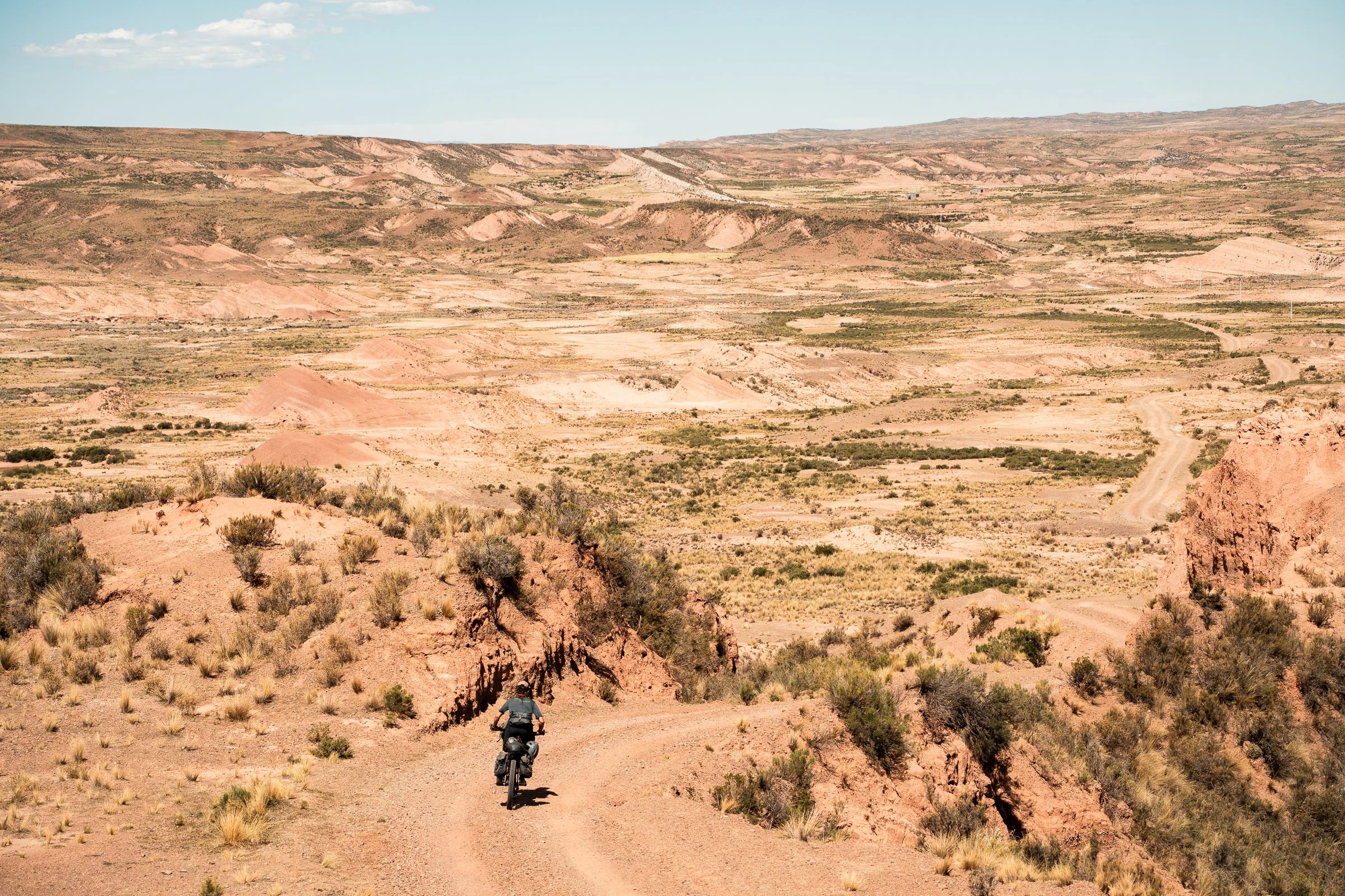
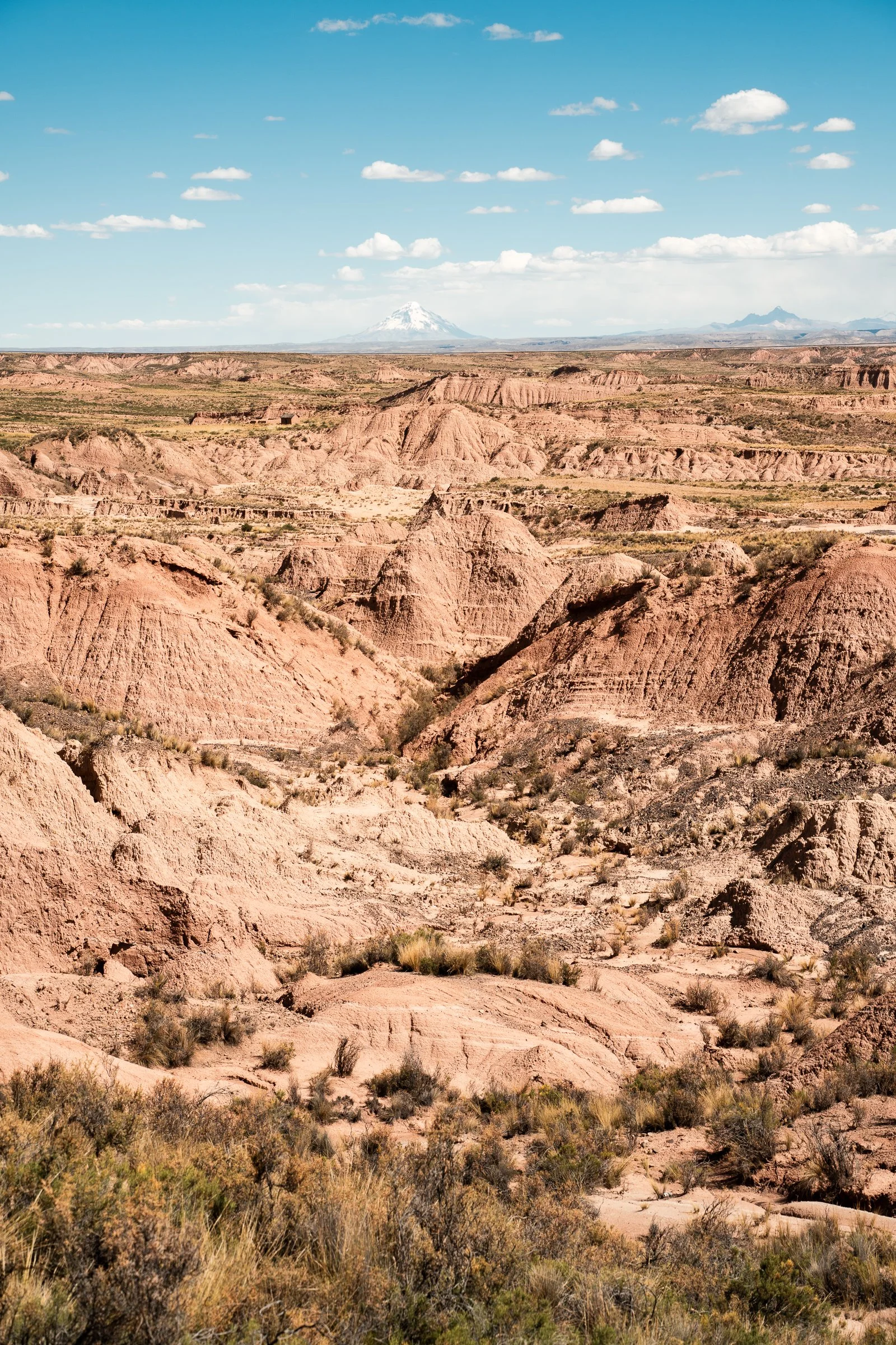
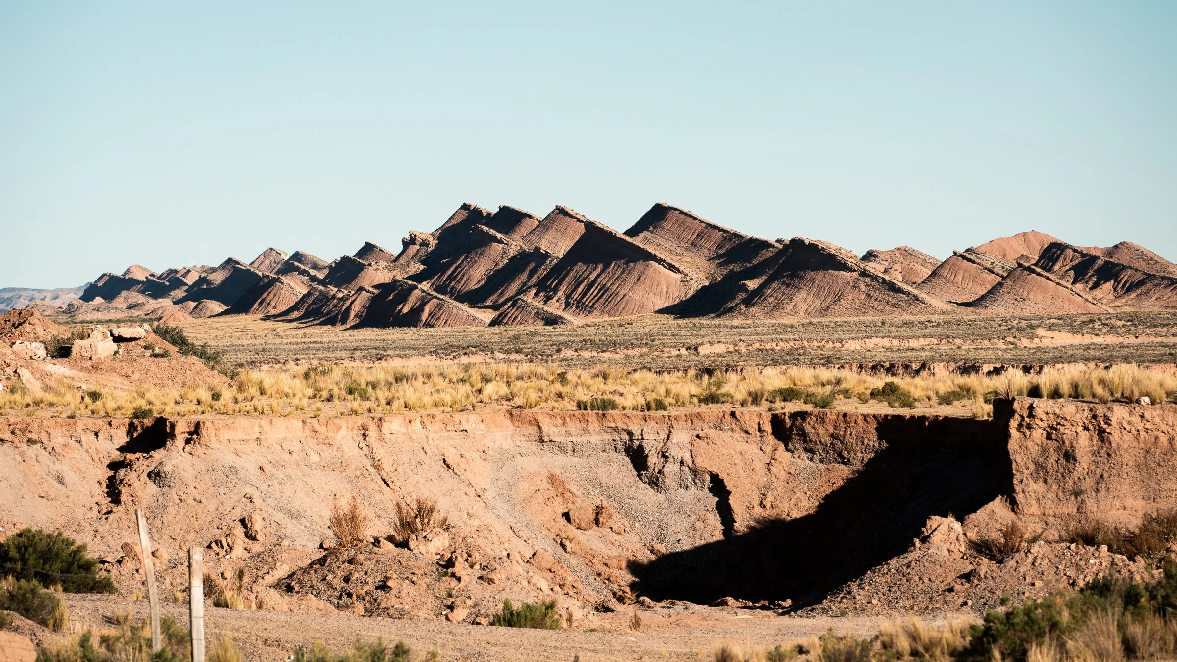
There hadn't been a single car all day. The terrain was ever-changing, with interesting geological formations like canyons, salt flats, and pockets of landscape that looked like they had been torn and lifted from the ground. We nursed our water as the few rivers we thought we could fill at had actually been salt-flats. We beelined to the highway to make a quicker route the next day. Our camp was a nice flat grassy plain next to a river, where we spotted some unexpected flamingos. All night came a constant stream of trucks, 7 or 8 visible at a time, engine braking down the long approach to the river and keeping us awake.
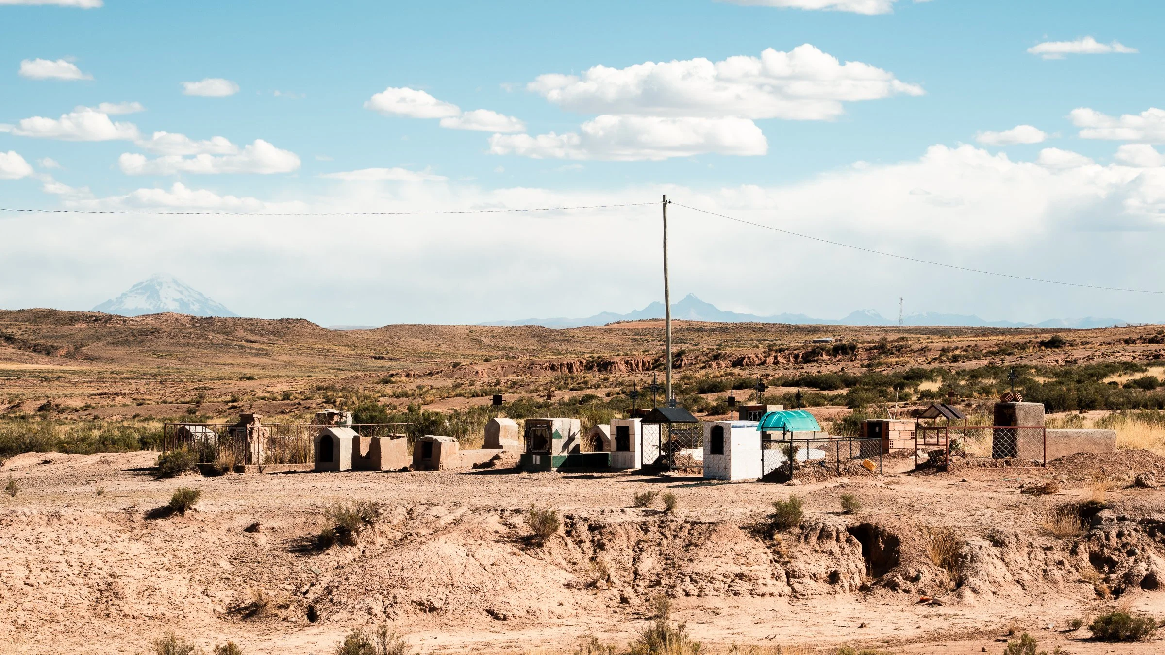
Over morning coffee, we went flamingo spotting again, before hitting the tarmac. We passed a few Chullpas, above-ground adobe tombs used by a pre-Incan culture in the region. In a few we found evidence of human bones; a femur here, a partial pelvis there. More-often, we found bottles of beer. We passed a truck stop with a few tiendas and a restaurant, and managed to get our first proper meal in four days - llama chicharón with corn and potatoes. Outside was a road block and a long line of trucks backed up; we would subsequently learn these blocks were all over Bolivia due to political unrest, and were causing massive disruption along with protests in La Paz.
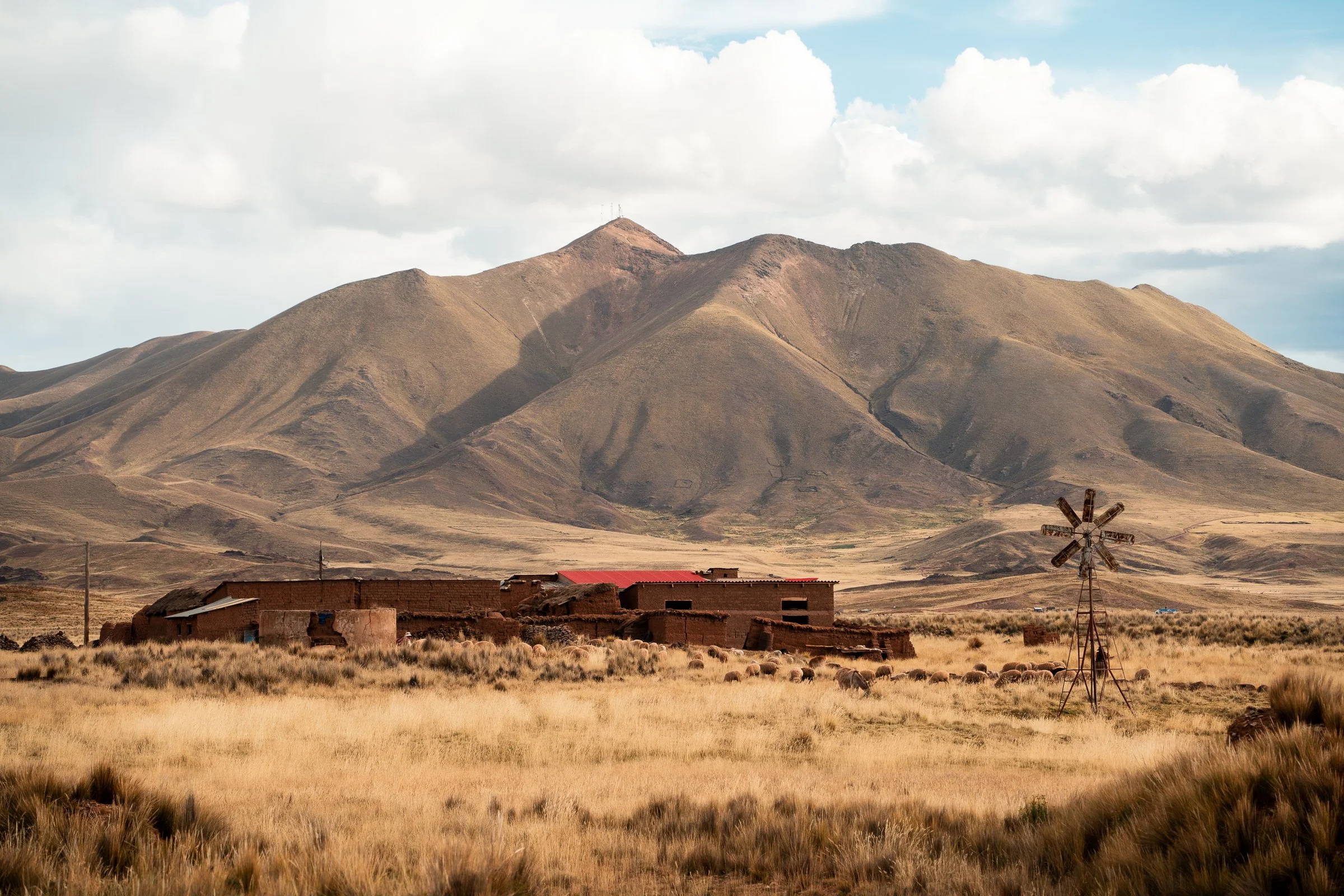
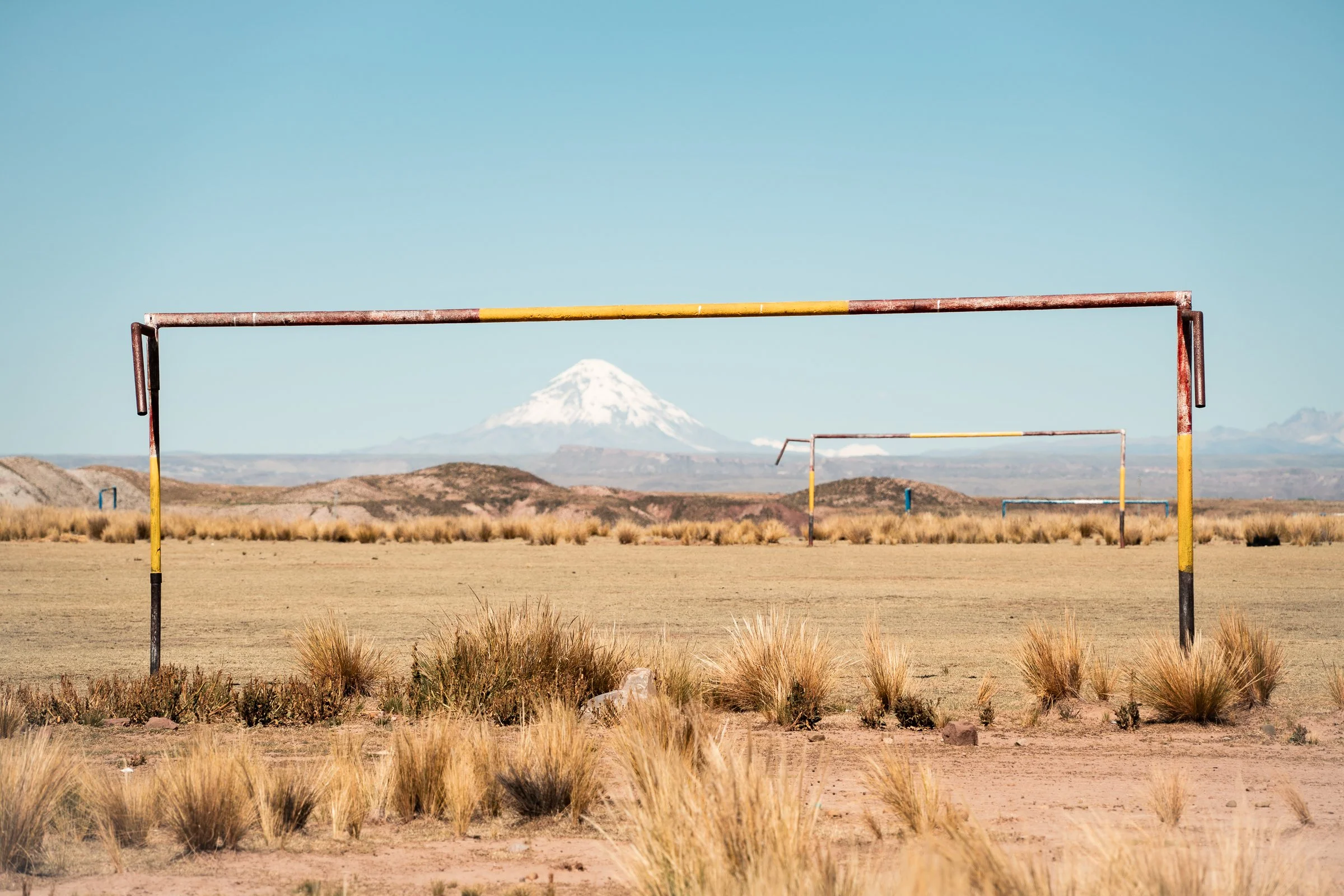
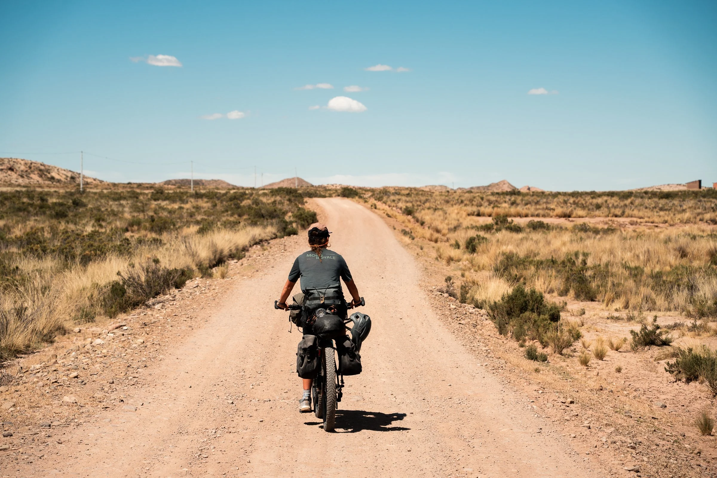
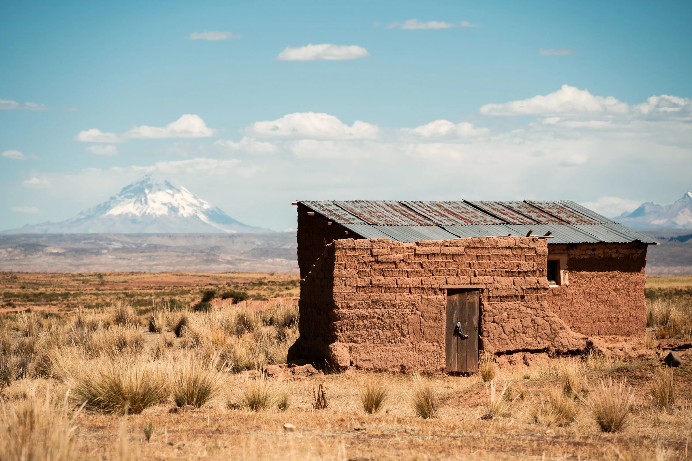
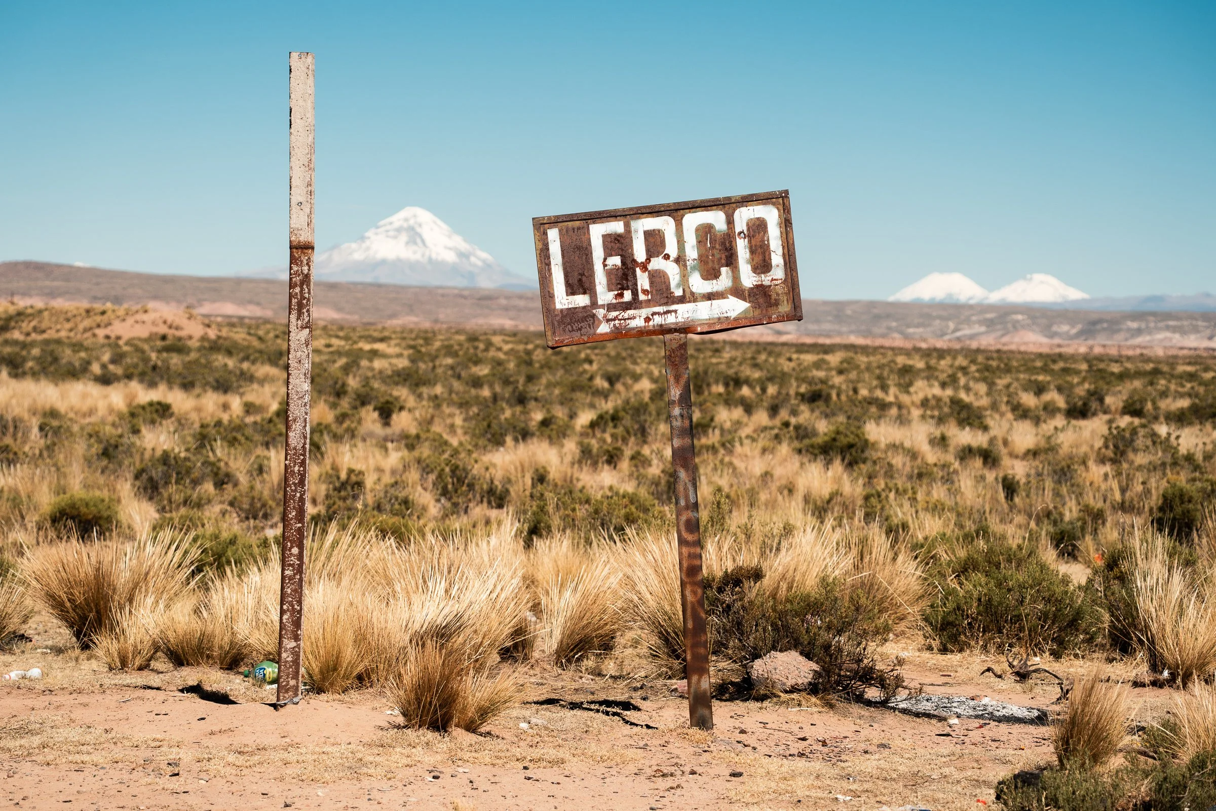
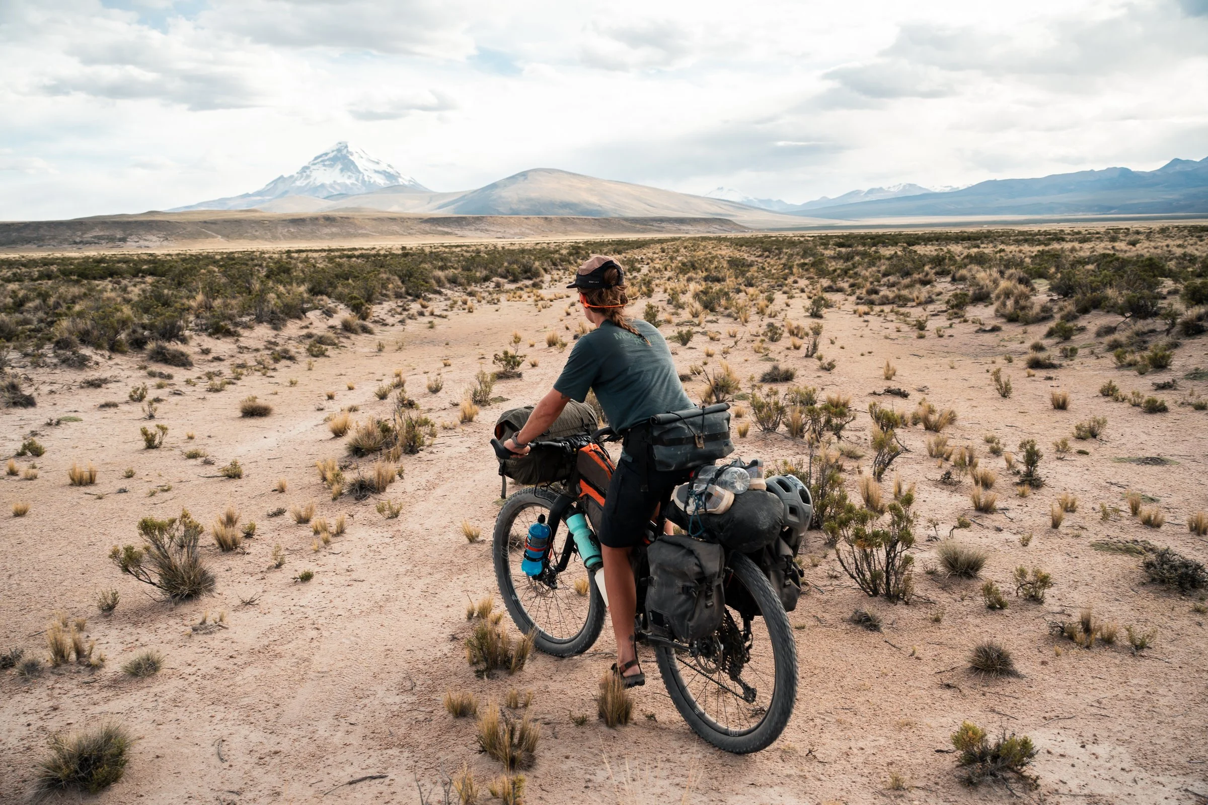
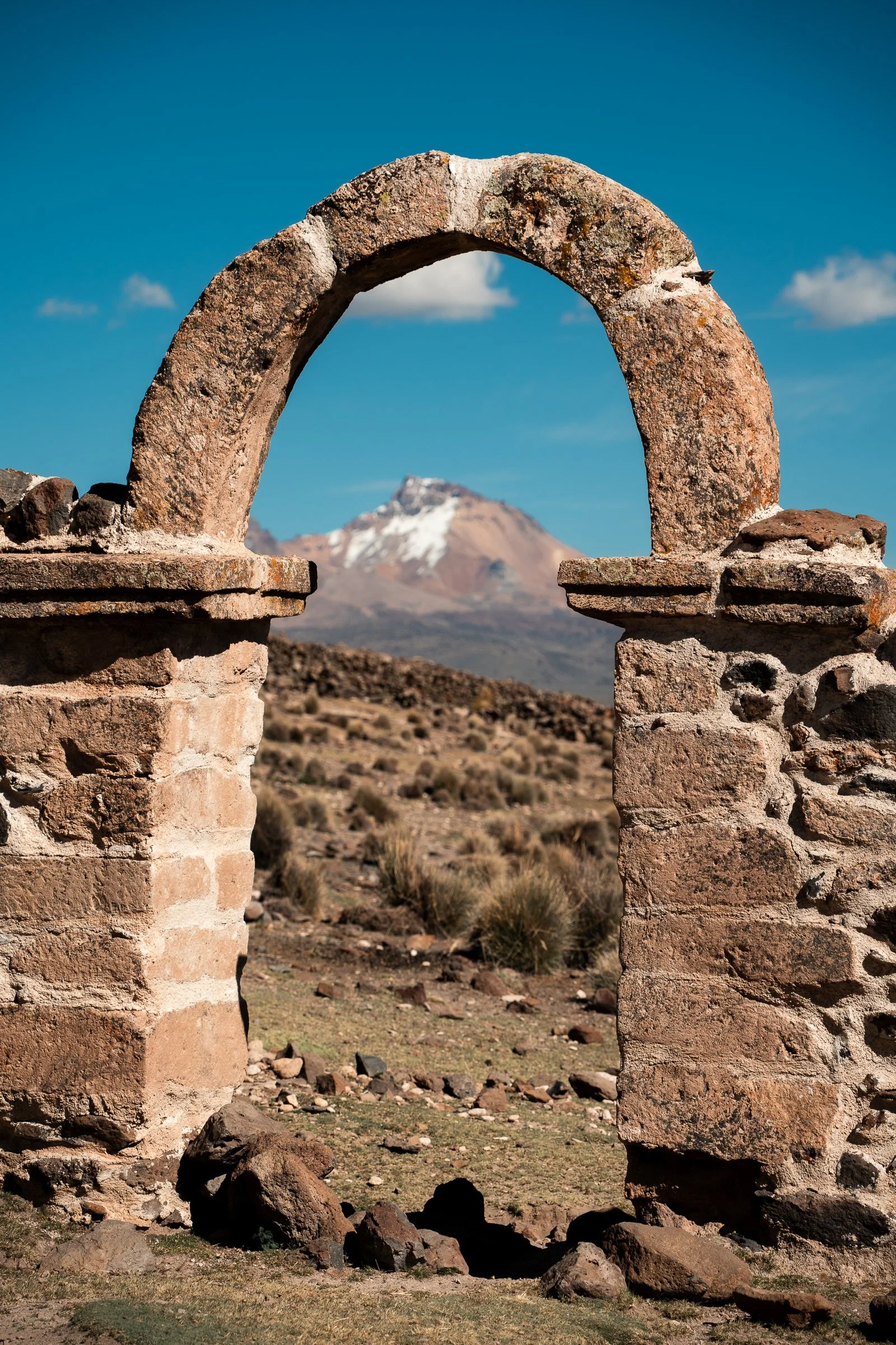
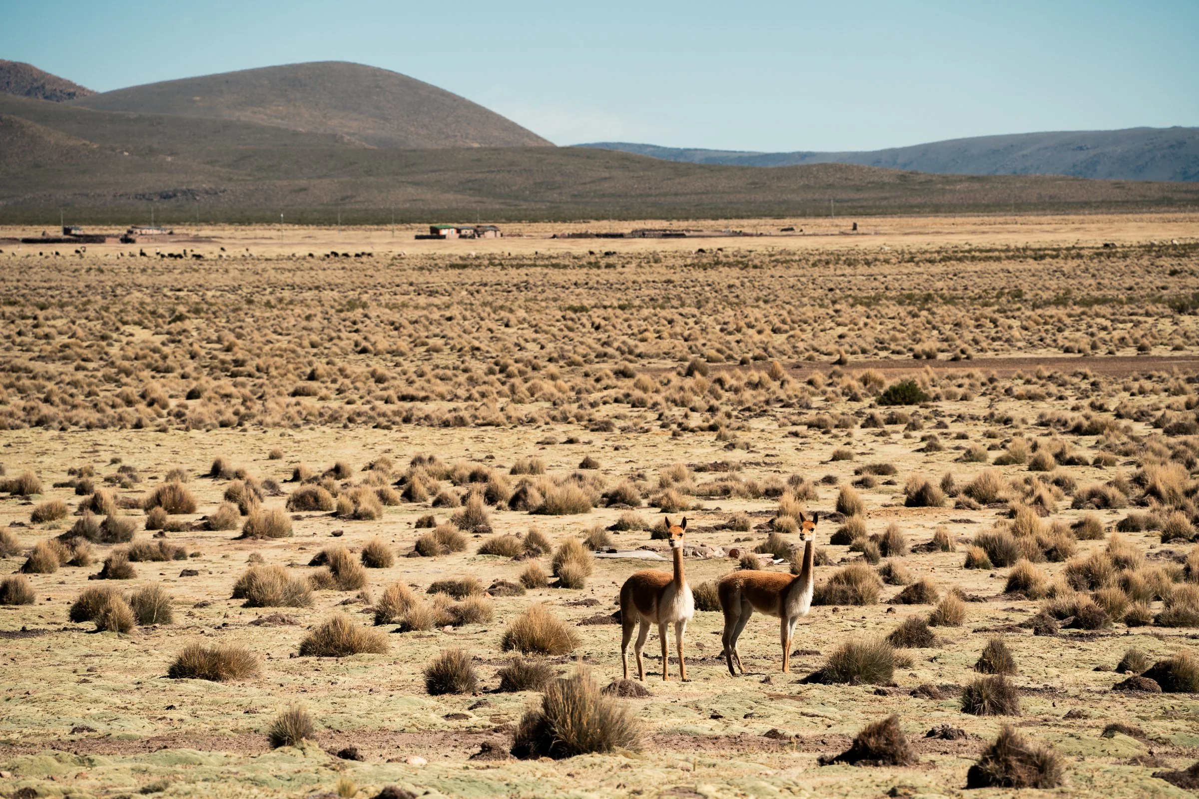
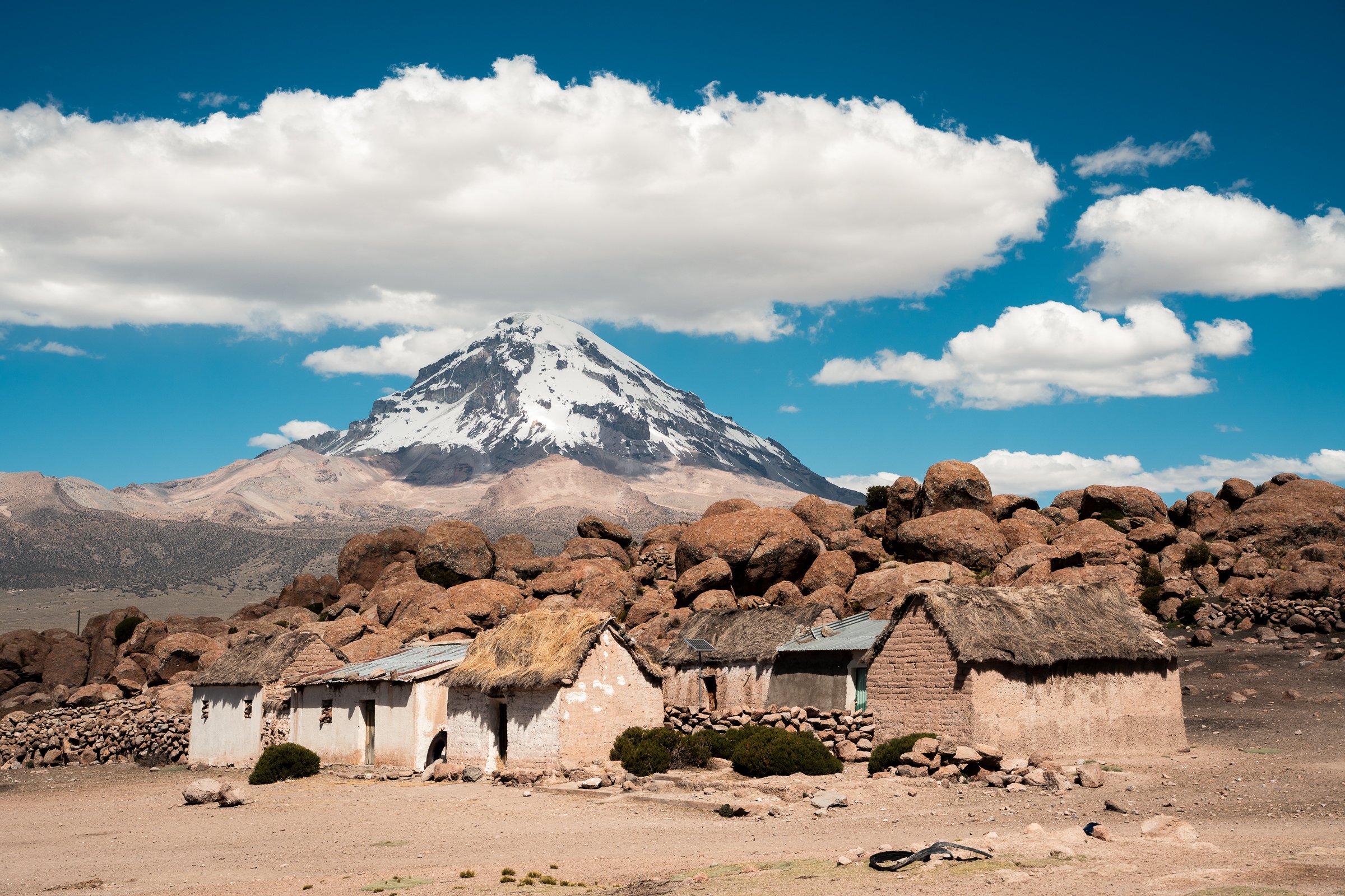
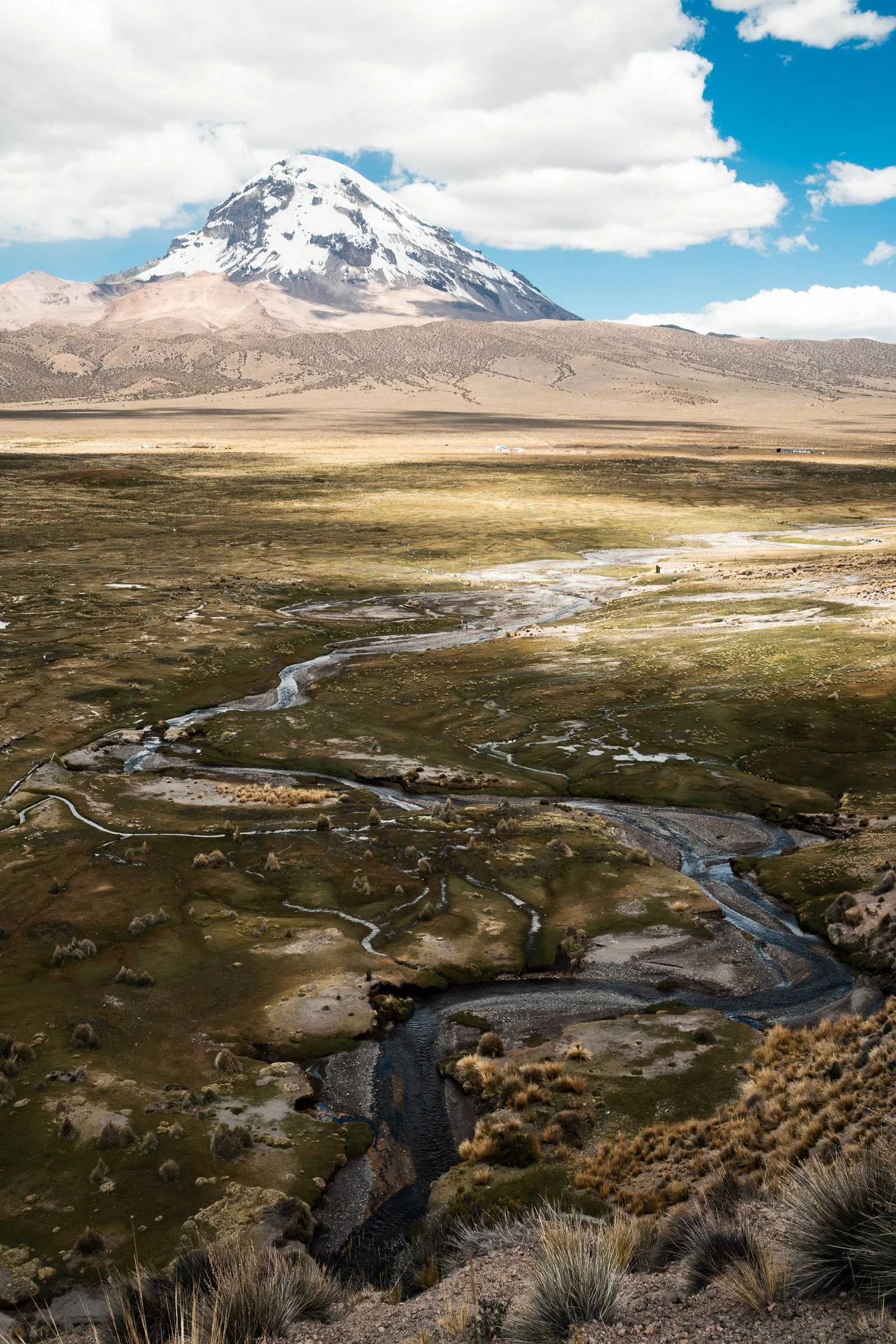
Our goal was a small village called Tomarapi, where promises of good food and warm showers awaited if we could make a solid push. The road climbed through a short band of hills. Emerging from these we saw Sajama in all its glory, after it had been peaking into our views for the previous three days. We turned off the highway, expecting the road to Tomarapi (at least that’s what our maps showed). Instead we found nothing but dirt and scrub. There was a robust discussion about what we should do, but after trialling a short distance through the scrub we hit the highway and aimed to intercept the ‘marked’ road a few kilometres down. Here there was also no evidence of a road, but some bicycle tracks headed into the scrub where the road should be. We followed these, and ultimately our eyes adjusted to see the road - two distinct ditches on either side of a raised flat surface; it was just covered in scrub and bushes, ever so slightly less dense than the surrounding terrain. We made surprisingly good time once we got into the flow, passing through sand and bogs, but realised we would never make Tomarapi. We saw our first vicuñas (the wild relative of the llama and alpaca) jump across the ‘road’ ahead of us, next to a spring. We filled our water from a pool teeming with small fish, and decided this would make as good a camp as anywhere for the night, so we pitched the tent.
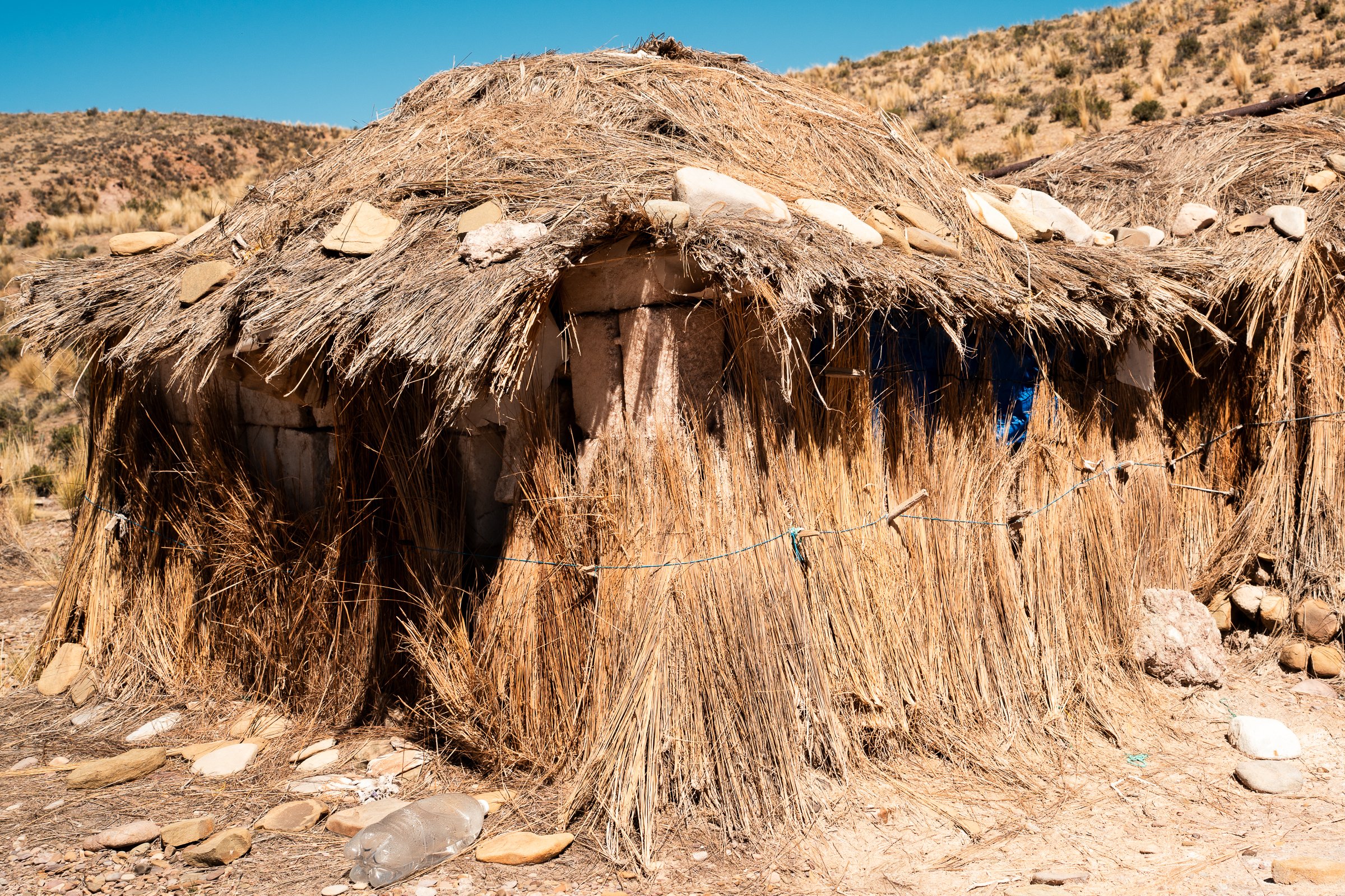
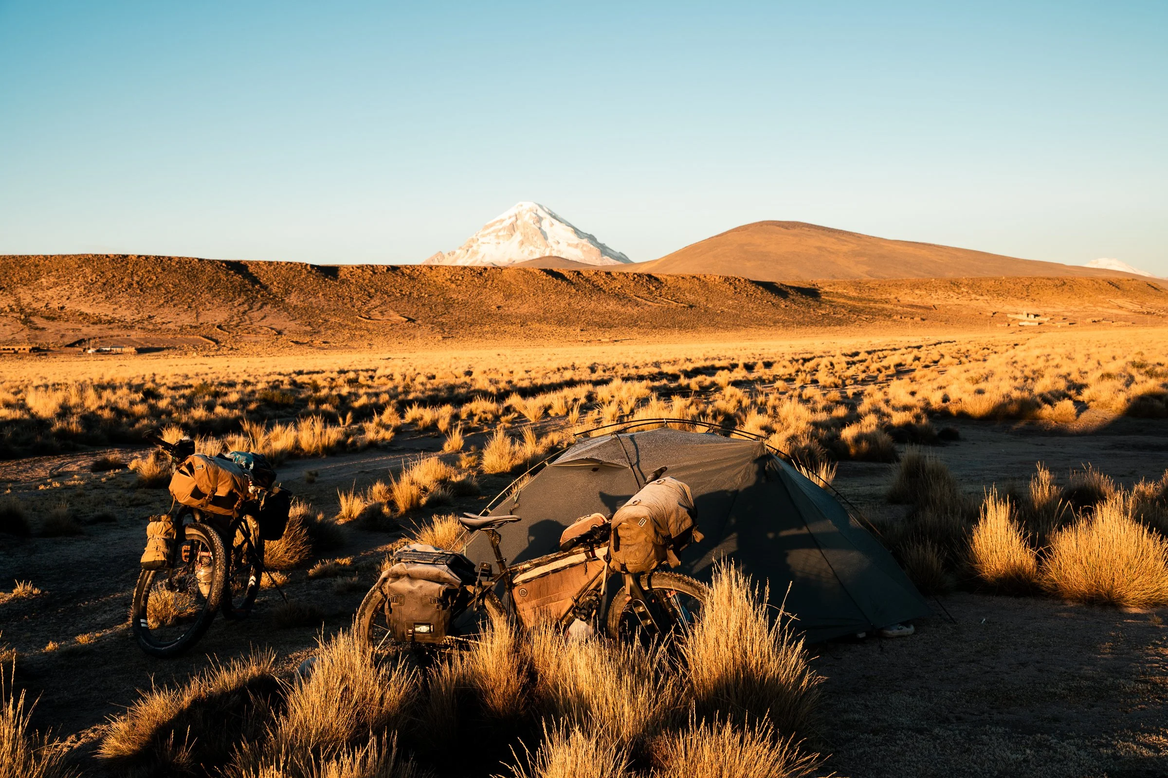
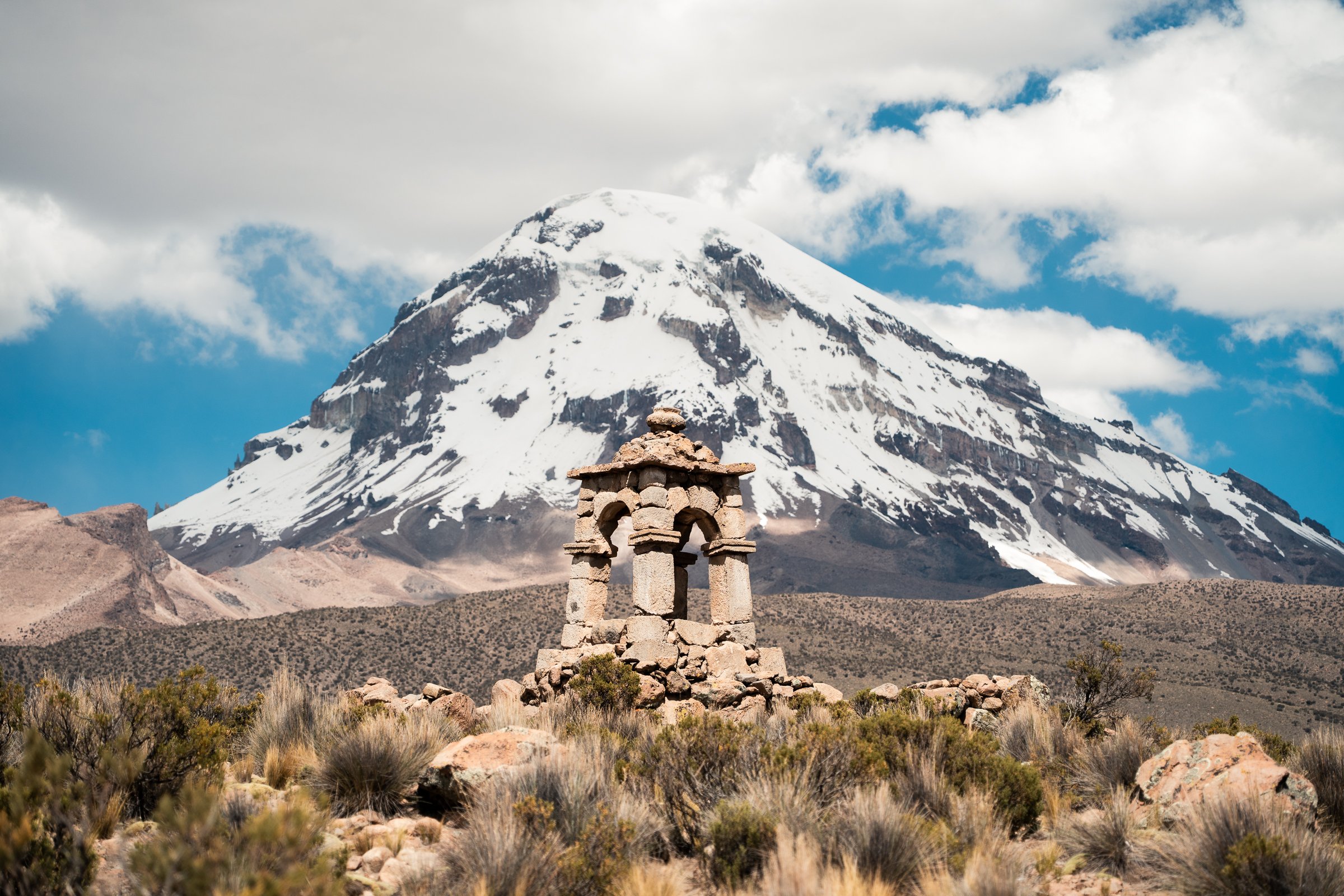
The next day we passed around the shoulders of Sajama after admiring yet another old Mission church. In the distance were the volcanos of Parinacota, Pomerape, and Quisiquisini, marking the border with Chile. Sajama is home to the worlds highest altitude forests on its slopes, as well as numerous colonial-era thatched roof churches amongst its small farming villages. We stopped for lunch in Tomarapi to make up for missing dinner the night prior. Three courses: Vegetable soup, butter fried quinoa fritter with pan-fried buttery potatoes, and fruit salad for dessert! The waiter was even wearing a crisp white shirt, in contrast to our dusty four-day old cycling clothes. This was by some margin the best meal we had had in Bolivia, and all for 45bs each. We were also given extra soup and bread after we scoffed the first lot so quickly. We would definitely recommend stopping here if cycling past. A sandy, washboarded road took us to Sajama, where we planned a couple of nights to restore calories, acclimatise further (the next week would be persistently over 4200m), and clean ourselves, our clothes, and our bikes.