The Lagunas Route, Bolivia
Our initial attempt to leave Uyuni had been stymied by contaminated brake pads, after a post-salt flat bike clean included spraying the whole bike, brakes included, in a ‘rust-preventing’ layer of oil. Rather than try fix these in the wind and dust on the side of the road, we returned to town, where I burnt off the contaminants with an alcohol stove in the bathtub.

The Uyuni train cemetery.
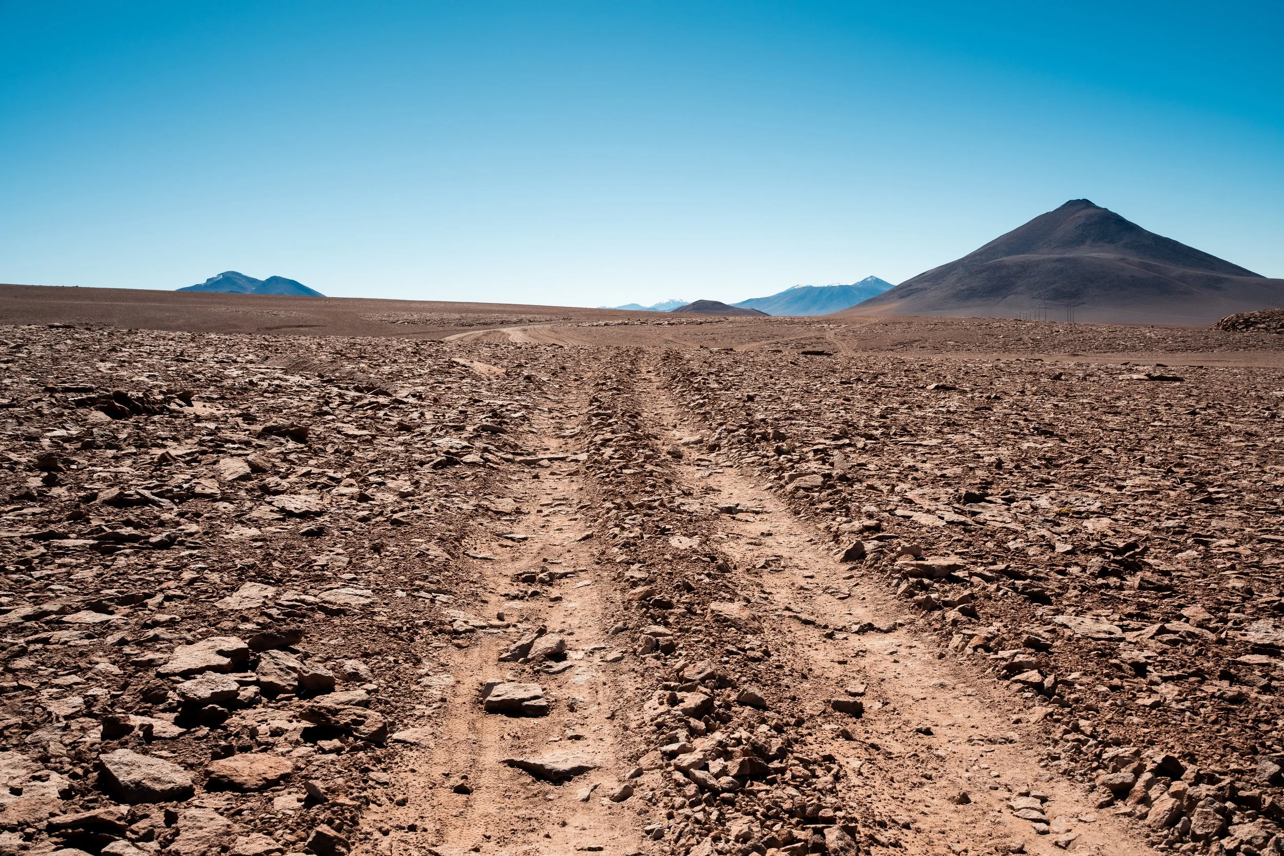
The riding picked up where it had left off: boring, flat, wide open dusty landscapes. The first 60km were rocky and bumpy, before we rejoined smooth tarmac. The only two notable things in the first 160km of riding were:
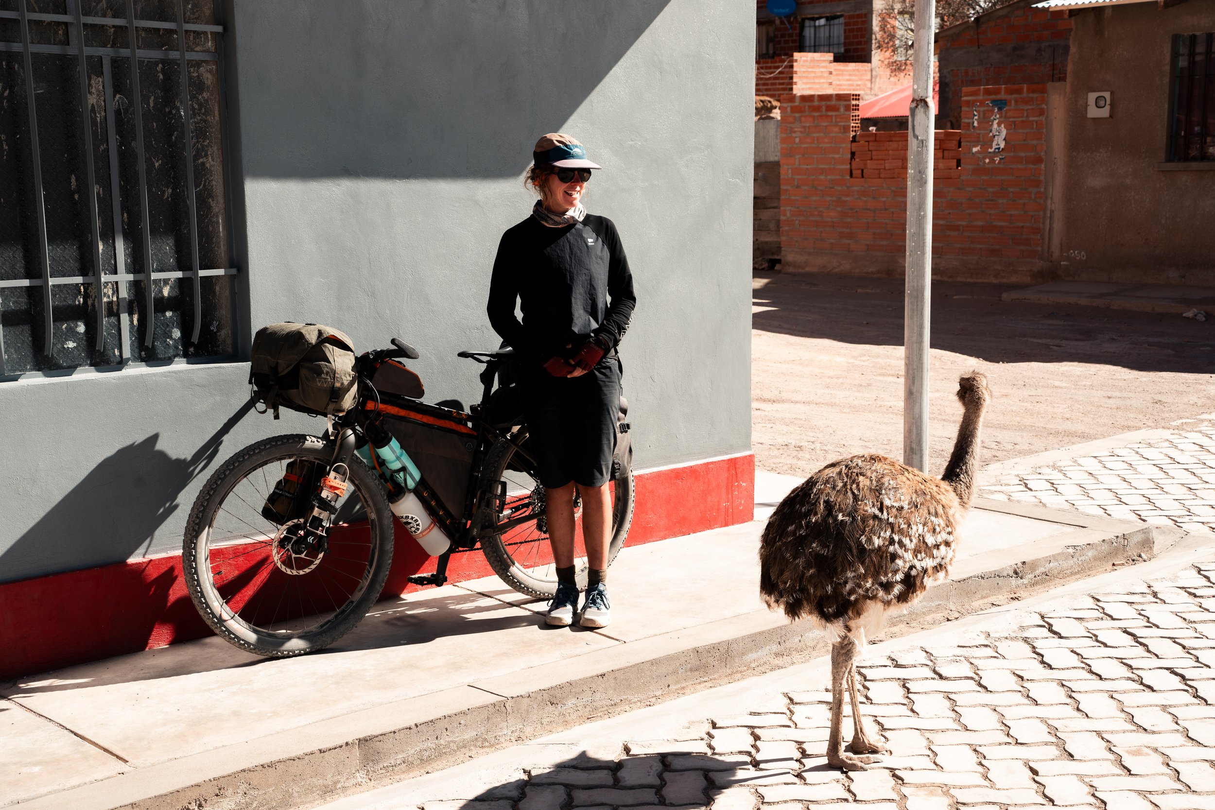
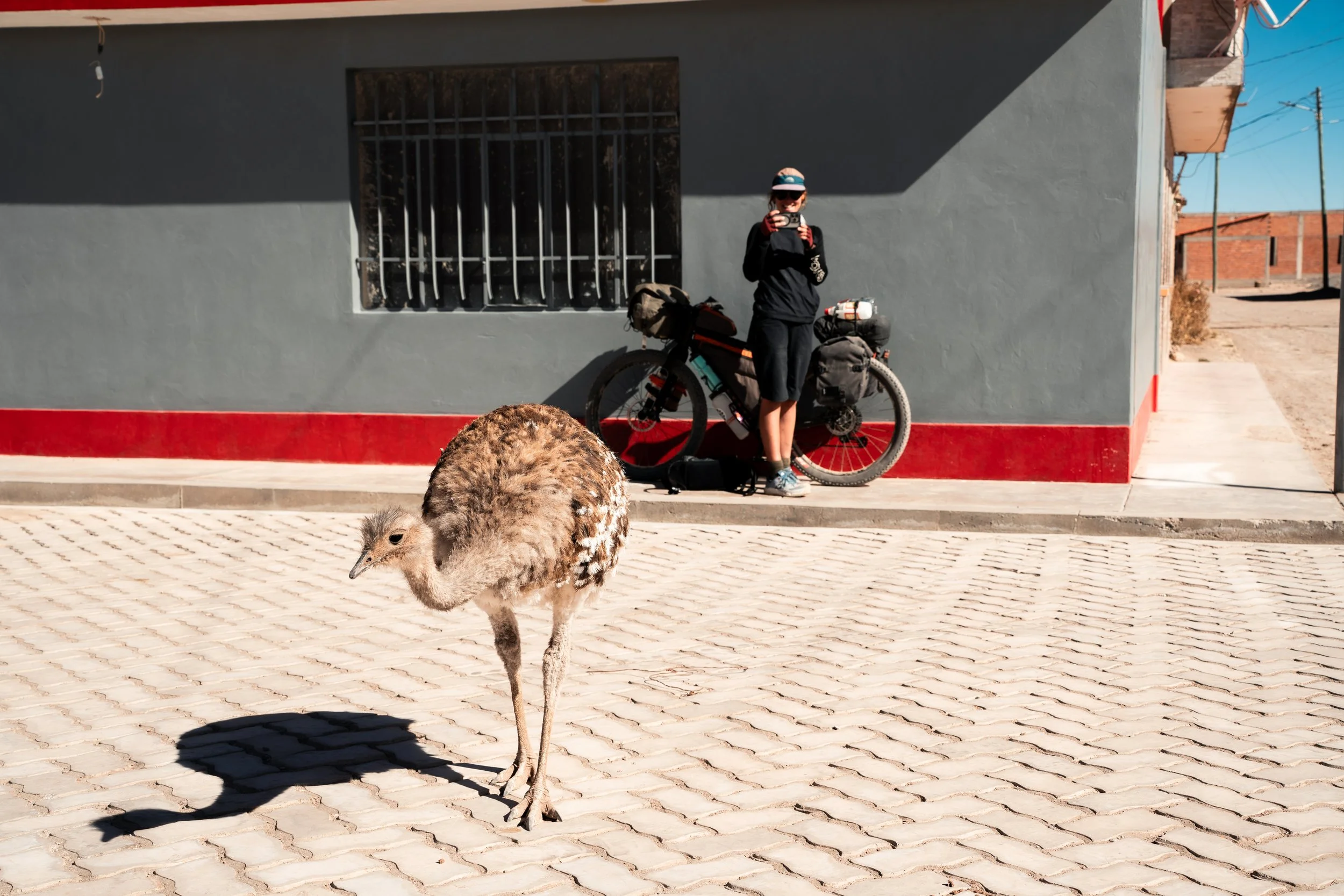
1. When we stopped for lunch in a small village. A little girl of about 4 wandered past us, around a corner out of view. A minute later she came running and screaming back towards us. A moment later a Rhea came around the corner, chasing her. It towered over her, which must have been a terrifying experience. Briefly chased off by a man with stones, it quickly came back and poked around us and our bikes, not put off at all by being in the middle of a plaza.
2. Good barista coffee in San Cristobal.
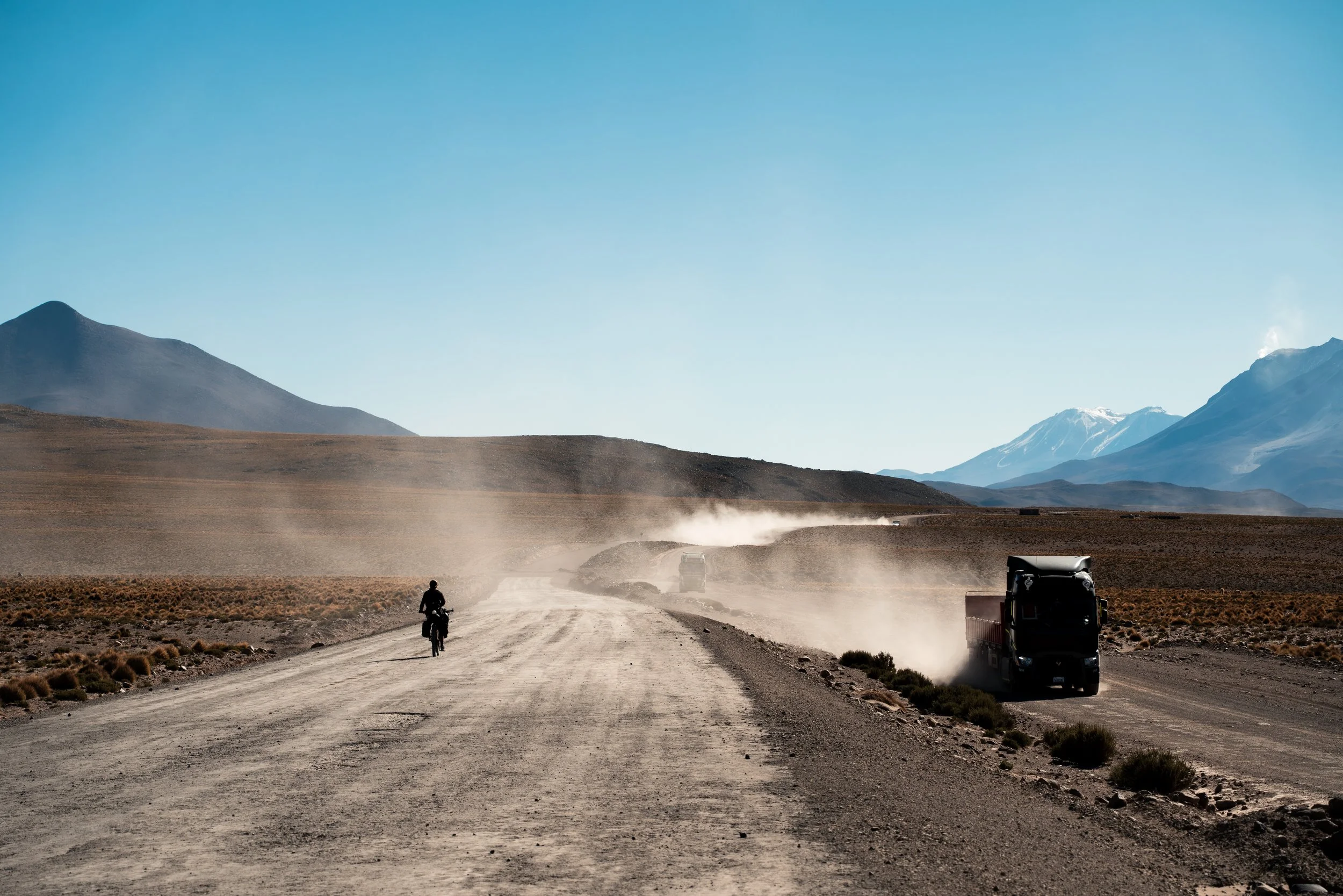
After spending the night in a llama pen just outside Alota we began the climb up into the mountains. The tarmac soon gave way to dusty gravel. This was a highway to the Chilean border, so we were often smothered in dust clouds as frequent lorries came past us, though they usually did their best to slow down for us. There was a small restaurant marked on the map about 30km into the days riding, where we hoped a warm lunch might await us. Alas, there were two restaurants there, but one was locked shut, and the other flat out just said ‘no’ when we asked about food. We did get a single bottle of coke, so that and four crackers with salami had to make do.
Climbing back into the mountains.
Avoiding the road altogether was often the best way to avoid the dust.
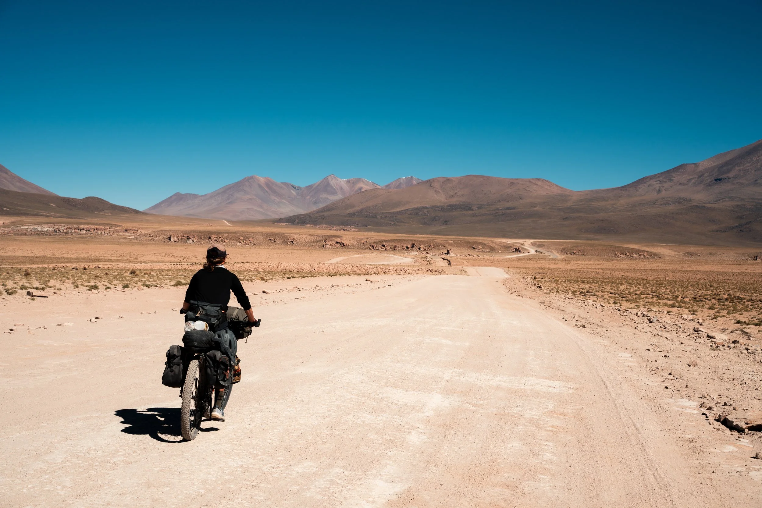
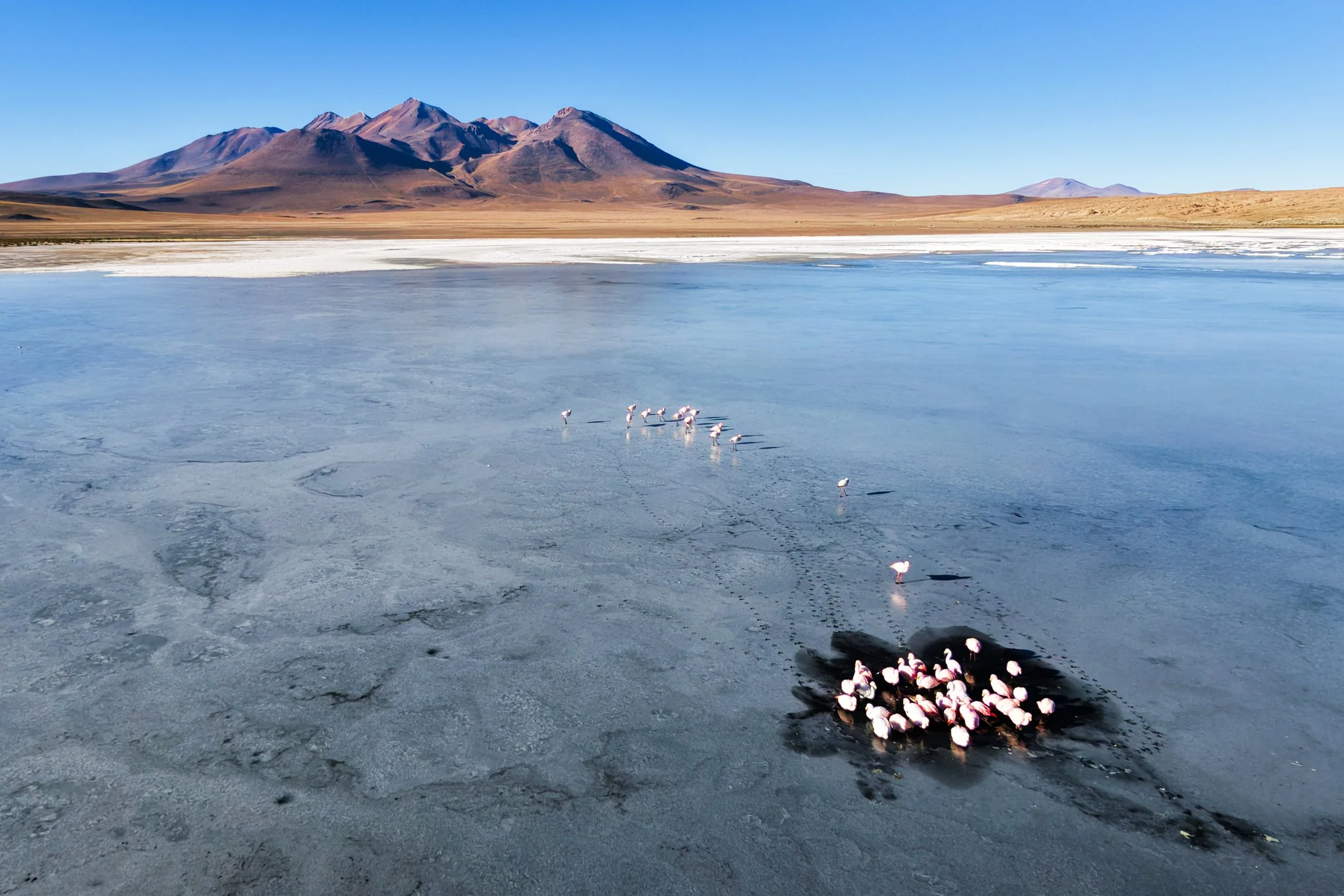
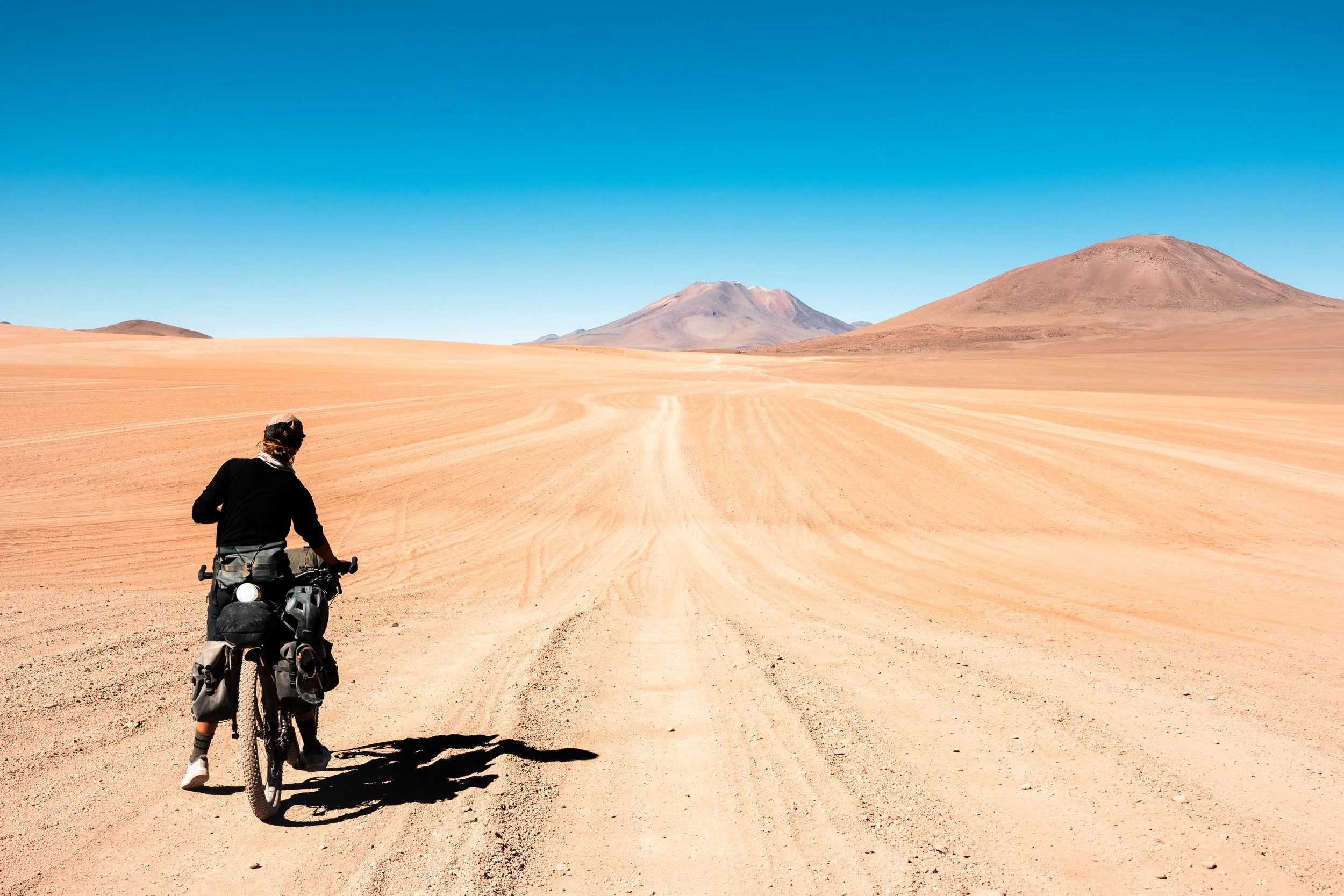
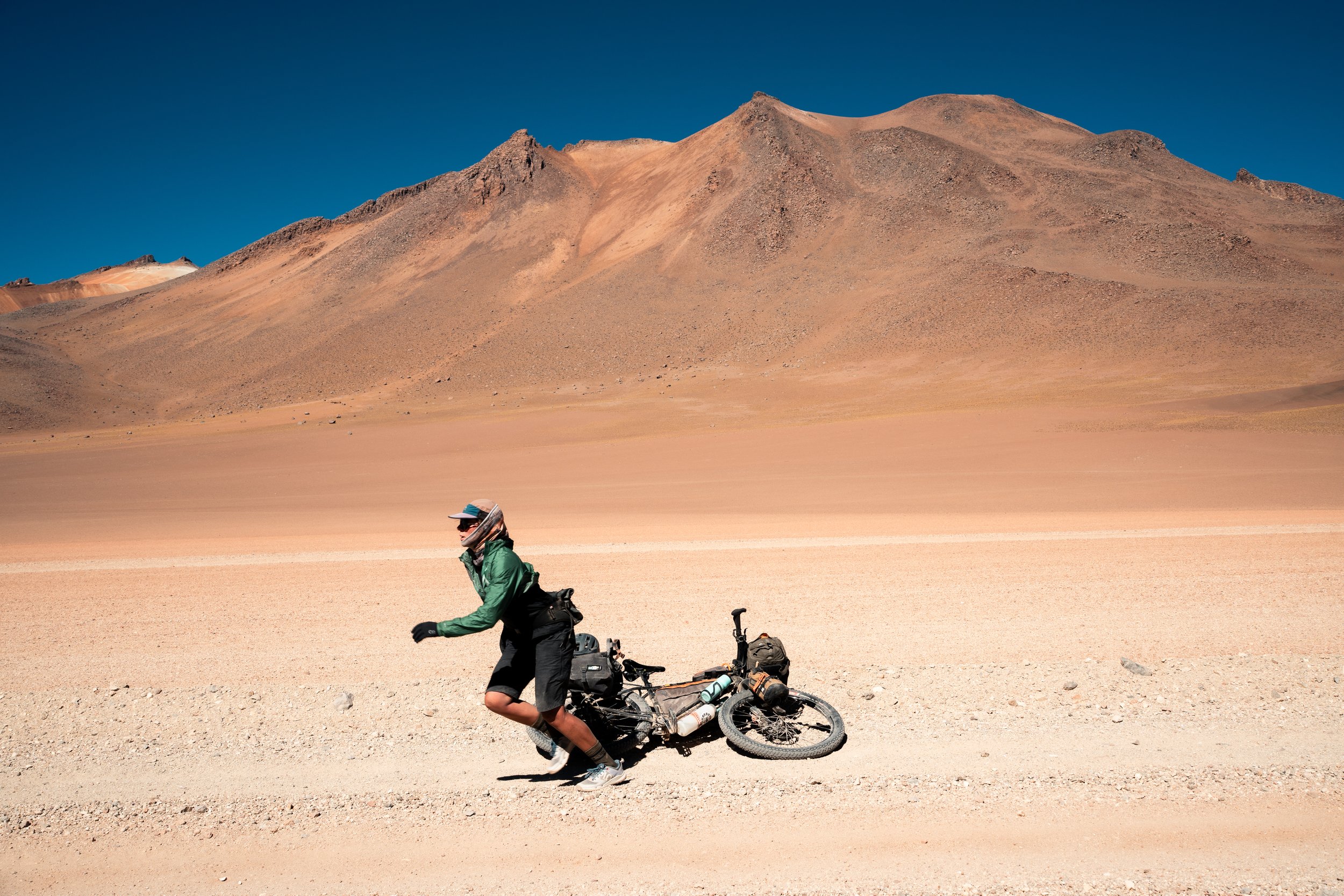
Close to the Chilean border we finally turned south onto the Lagunas route proper. The route passes through mostly desert with surrounding volcanos, on the Bolivian-Chile border; interrupted with a scattering of salt lakes. Despite being nearly 6000m tall, almost none of the mountains have snow because of how dry the area is. Quickly, we were descending on one of the worst roads I had ever been on (to that point, as much of the Lagunas route would equal or surpass it), not able to get above 8km/h due to the corrugations. Laguna Cañapa - the smallest of the Lagunas we would pass on the route - eventually came into view as the sun became low. With no one around, and plenty of flamingos nearby, we pitched the tent on the grass at the waters edge before tucking in for a cold night.
The temperatures here can get as low as -20c, and despite sleeping bags comfort rated to -6c, warm fleeces, and down jackets, I was still freezing cold overnight. We awoke to a fine layer of frost over our sleeping bags in the morning and our overnight oats frozen solid in the tent. We were up at 7:30, before the sun had got above the mountains. Our fingers and toes were numb within minutes, but we did get to see the flamingos huddled in tight flocks, the laguna having frozen around them overnight. It was a good laugh to see one shake free every now and then, wander about on top of the ice for a bit, and then give up and return to the huddle. By the time we had defrosted our oats, our water, and our tent it was 11am, and some tour groups were just starting to arrive.

It was a short ride to Laguna Hedionda, and the military checkpoint kindly gave us some water (preventing a detour to the other side where there was a spring). We had read some pretty surly reviews of Los Flamencos Eco Hotel here towards cyclists, so didn’t expect too much, but were given a warm welcome when we asked for lunch. We got grilled chicken and creamed rice, very well prepared - a top 3 meal in Bolivia for us. The ladies working there even wanted a photo afterwards with our bikes.
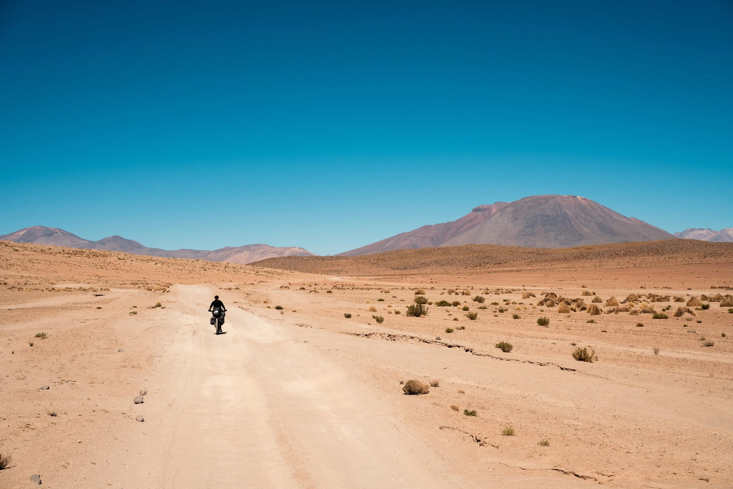
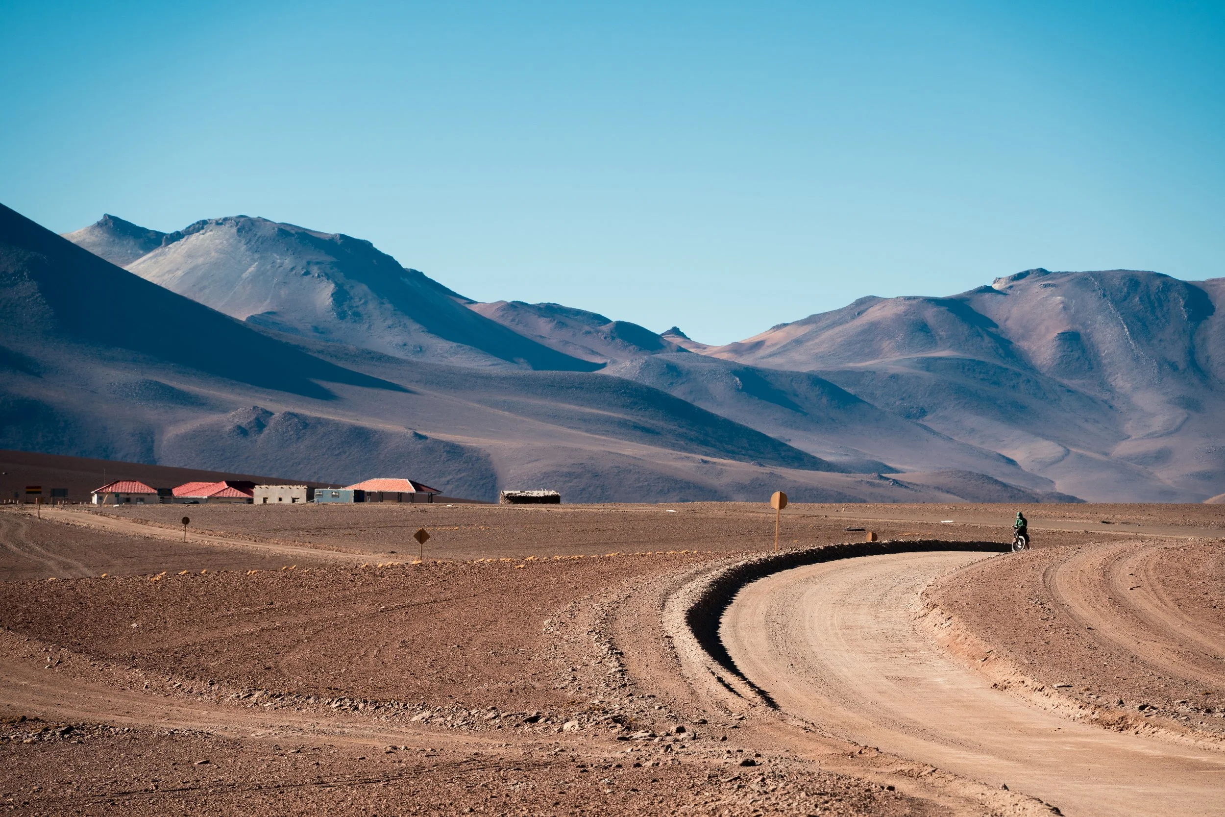
Our goal for the day was the Tayka Desierto Hotel, the second highest elevation hotel in the world (4520m). We had heard they offered cyclists camping, with access to their meals. From Laguna Hedionda we rounded another couple of Lagunas, before our view opened out into a wide sandy valley. We could see roads winding over the pass at the top, over 20km away. Separating us were about a million corrugations. Jeep tracks covered the entire width of the valley. Reports had suggested trying to find the best route. There was no best route, only corrugations as far and as wide as you could see. We steadily climbed up to 4650m. We started well enough, but once we got over 4600m the road got even worse, and we started to flag. It was about 16:30 by this point, and we thought we just had a short downhill to the hotel. The road had other ideas though, and the corrugations grew bigger, and the sand sandier. Our pace slowed to even less than we were doing on the climb. The sun disappeared behind a hill, and the temperature immediately plummeted, forcing us into our cold-weather gear. By the time we arrived at the hotel, a small scattering of buildings in the vast expanse of the desert, our fingers insensate. We decided to splurge on a proper room, even if it did cost literally half our cash.
Climbing towards the pass.

The final descent to the hotel.
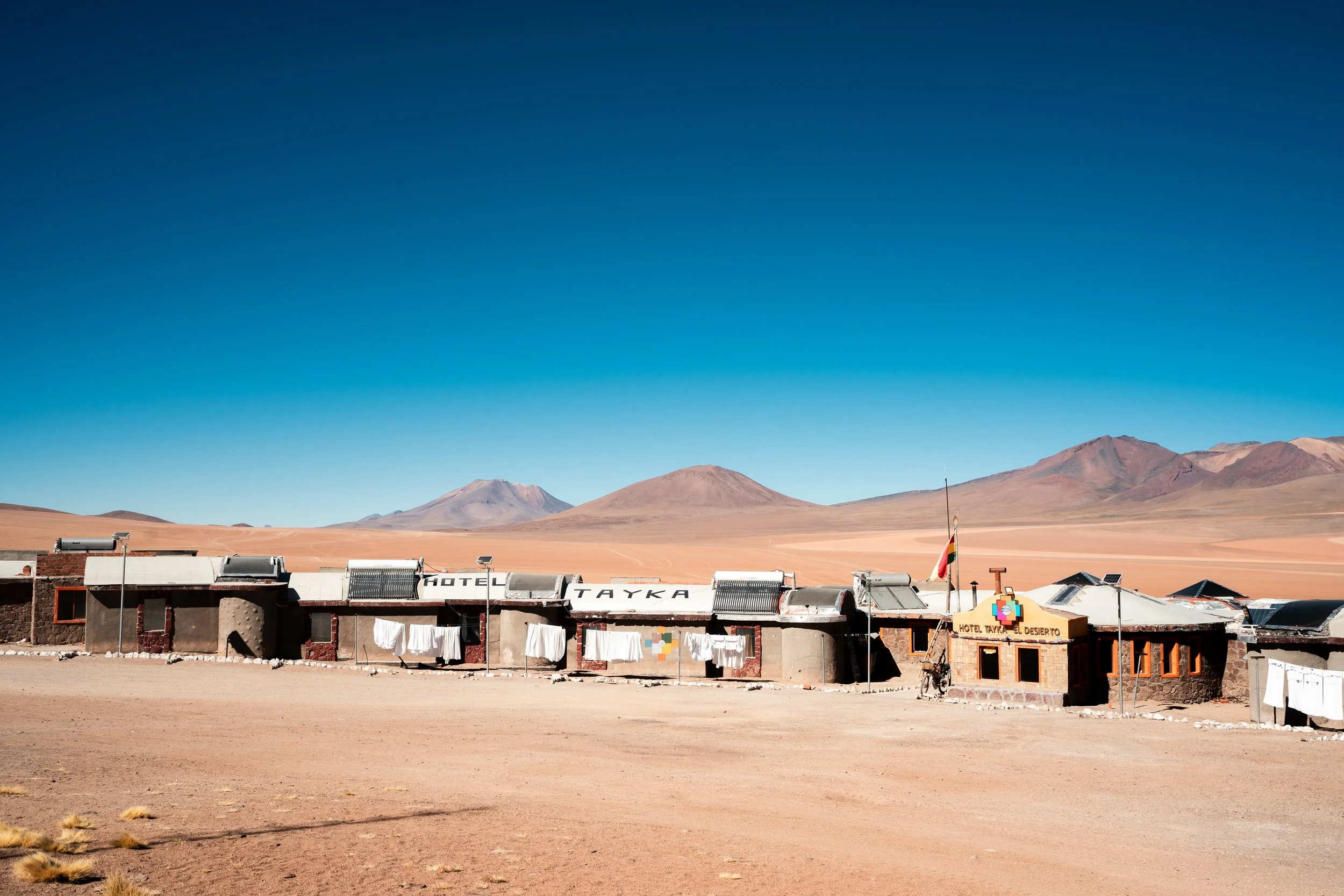
Hotel Take El Desierto.
Wanting to make the most of our splurge, we stayed until checkout the next morning, enjoying a leisurely breakfast whilst all the tour groups got underway. We thought it would be an easy day, 30km relatively flat, then 20km downhill to Laguna Colorada (which it seems is the crux of most tours to the area, due to its red colour and numerous flamingos). This was by far the worst day of riding we had ever had. The valleys were kilometres wide, wall to wall 4x4 tracks, and all of them deeply corrugated. You might get lucky, detour a hundred metres, and get a smooth 20m before they started again. We slowly bumped our way along the road, undulating over sand dunes, cursing every moment of it.
On the Lagunas, you are alone in the desert for the most part. Not infrequently however, you are joined by groups of tourists in 4wds. They tend to travel in packs, doing the circuit at specific times. If you happen to end up at an attraction at the wrong time, it can thronged with tourists. Before you know it, they’re gone, disappearing in clouds of dust. Whilst driving, there is generally enough space they will take a line some hundred metres away, speeding past silently. More than a few times though, we would find a jeep behind us, waiting for an opportunity to pass. Sometimes this was done in silence, the occupants staring ahead, drinking from bottles of cold water, avoiding eye contact at the 1m distance. More often, the windows would be down, phones out to capture the suckers riding through here, and some cheers of encouragement would be given. Getting to a village or accommodation, it was obvious that cyclists were second consideration to the tour groups, in terms of meals and attention given.
We passed by the Arbol de Piedra, the famous rock on the route. Previous blogs and photos made it look remote and sheltered, with camping nearby. In reality there are a few rocks about, with a big car park next to them with a ranger station. From here it was all downhill, but we still weren’t able to get faster than 8km/h, so it took us over two very frustrating hours to descend to Laguna Colorada. At one point a jeep trailed me, despite innumerable other options for trails. I angrily tried to wave it past, to leave me to my misery in peace. As it pulled alongside, a window wound down and a passenger handed me a chocolate bar, and gave me a big smile and thumbs up. All was immediately forgiven. I watched the same play out ahead, as Lauren stubbornly refused to pull aside for the jeep that had chosen to tail her. Upon arrival in Laguna Colorada, we paid the 150bob per person park entrance fee, which after the days riding felt like a real kick in the teeth, especially as there is no apparent infrastructure to account for the price.
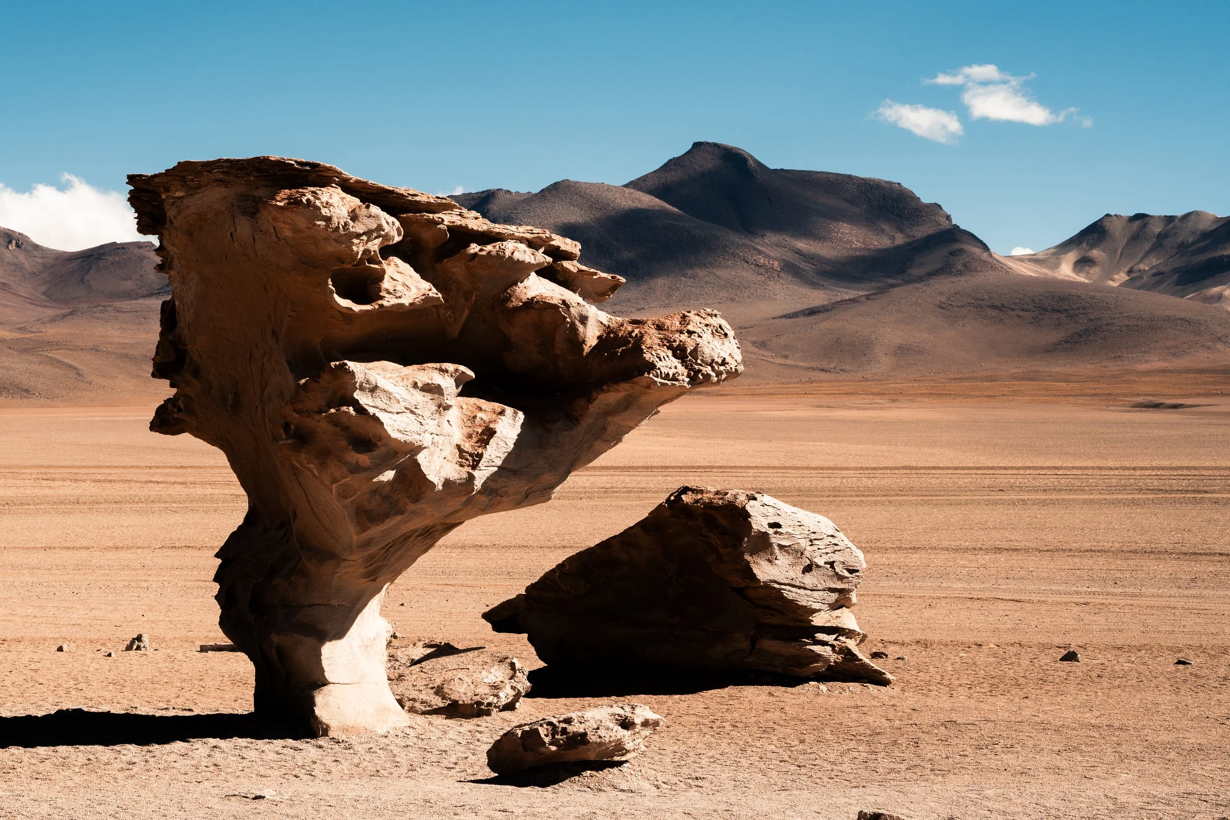
Arbol de Piedra. The photo adorns the walls of most establishments in Uyuni.
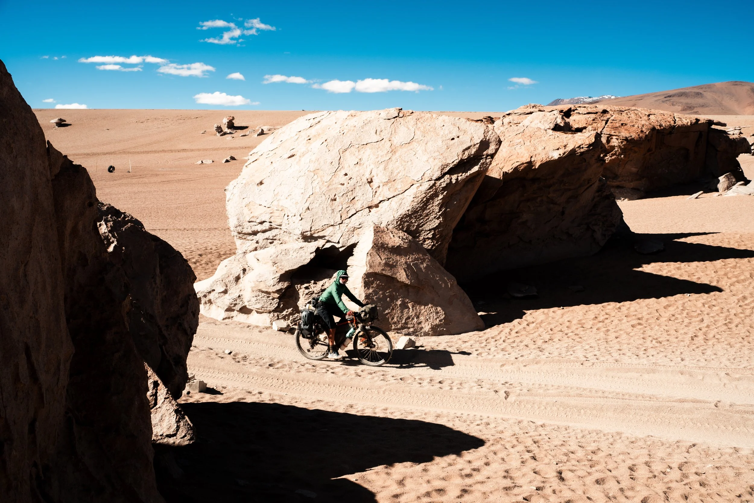
There is a carpark about 20 meters behind Lauren here.

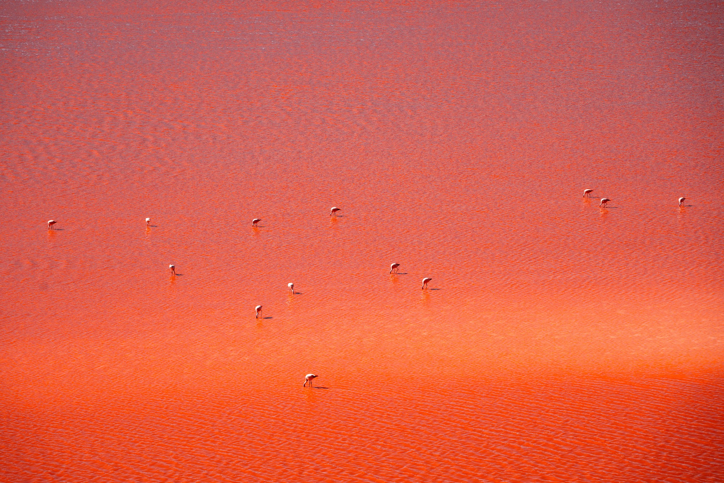
Laguna Colorada
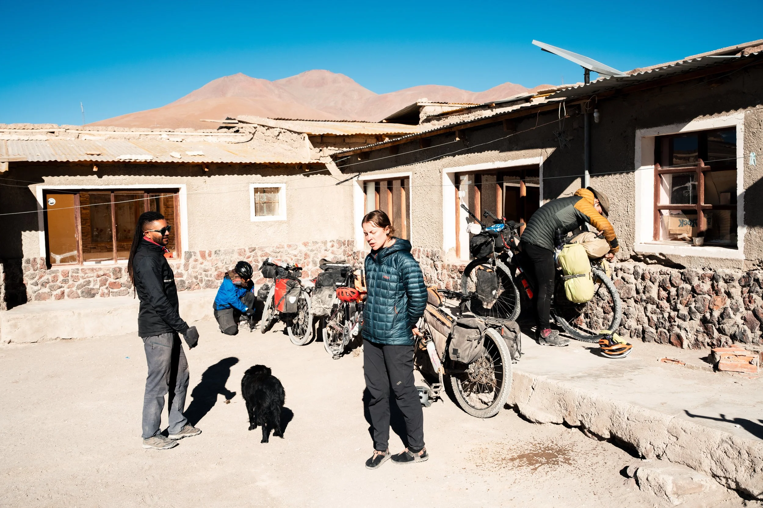
The first thing we saw in the village were three bikes next to a hostel, and a cyclist coming over to say hi. They had two spare beds in their dorm room, which was lucky as there was no other accomodation available, and we didn’t fancy camping in the cold. They were two brothers from Colombia, and one cyclist from France. They were heading north, on gravel bikes. We asked how the road was they had just come over. ‘The worst days riding we’ve ever had. How about you?’ ‘Also the worst 2-3 days we’ve ever had’. It was the first evening we had been able to talk to other cyclists all trip (or any other people in general).
In the morning they took off, for what I’m sure would have topped their previous days experience. We took that day as a rest day, reading in the morning before slowly making our way to Huayalajara, a small village just 10km down the road. We skirted around Laguna Colorada, its red colour only really becoming prominent about midday (and being very disappointing at sunrise). We stopped at the mirador coffee shop looking for somewhere to relax for an hour, but the smell of beer greeted us from the bottom of the stairs. The group there (working? It was hard to say) were sober enough to tell us they weren’t serving coffee or food, but much too drunk to be able to tell us how much a bottle of Fanta cost or be remotely capable of managing this transaction. We left, watching as a toddler chased a beer can in the wind.

With all the tour groups coming through the region, you get arguably the worst of both worlds - bad infrastructure and little chance of resupply, but also carparks and crowds at most of the sites (except after hours when it is so cold you don’t want to be outside). With this in mind, it took a couple of attempts but eventually we managed to find a hostel in Huayalajara with a room available (Hostal de San Bernado).
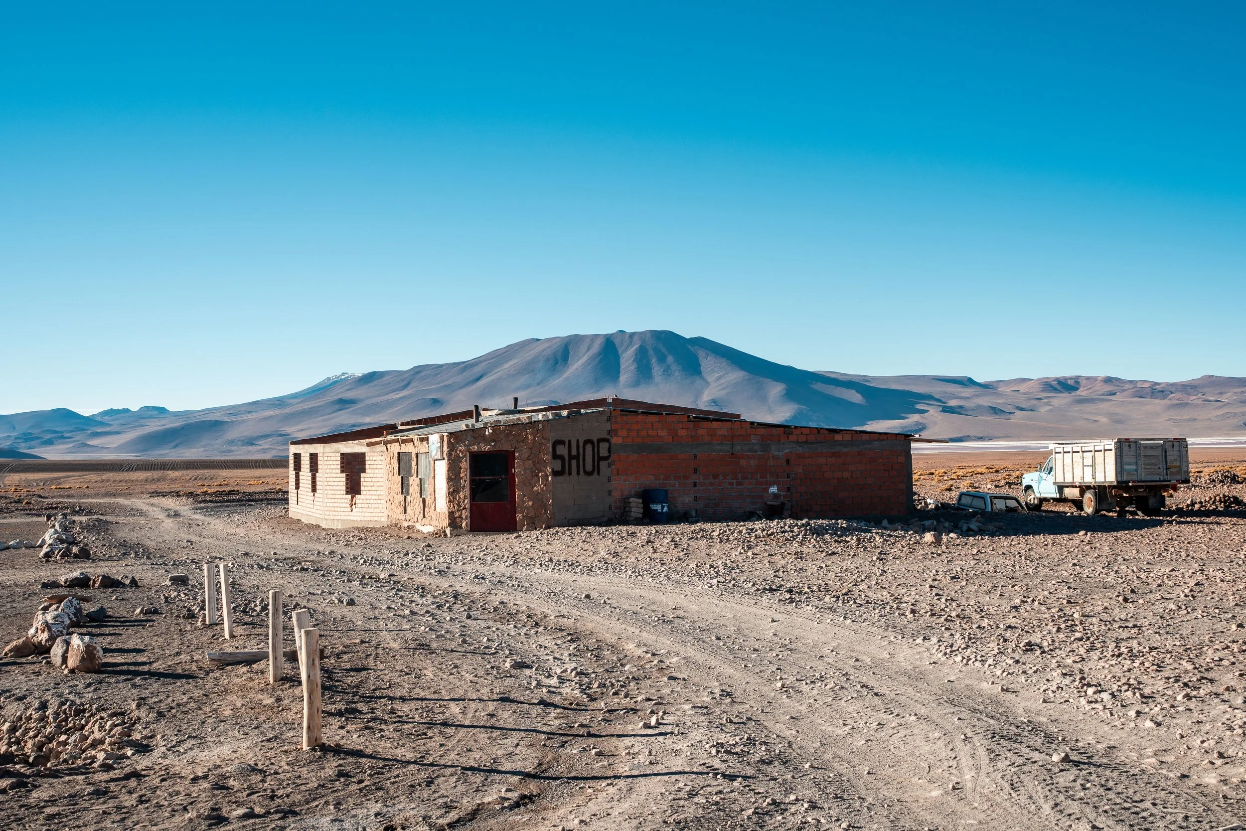
The biggest shop in Huayalajara, it also doubles as karaoke.
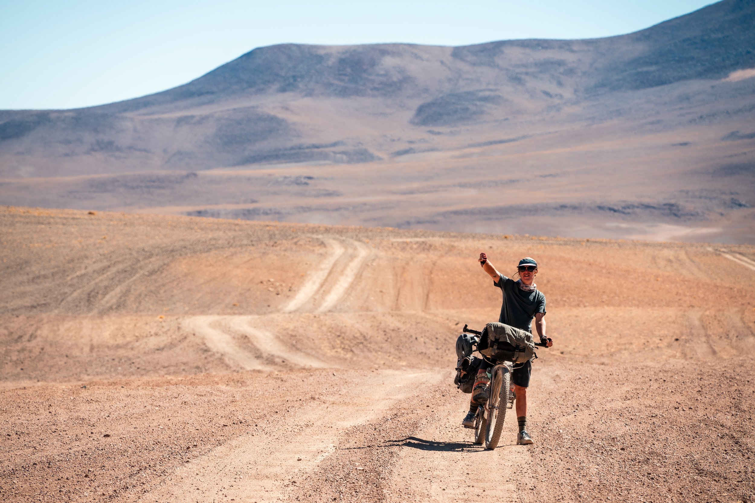
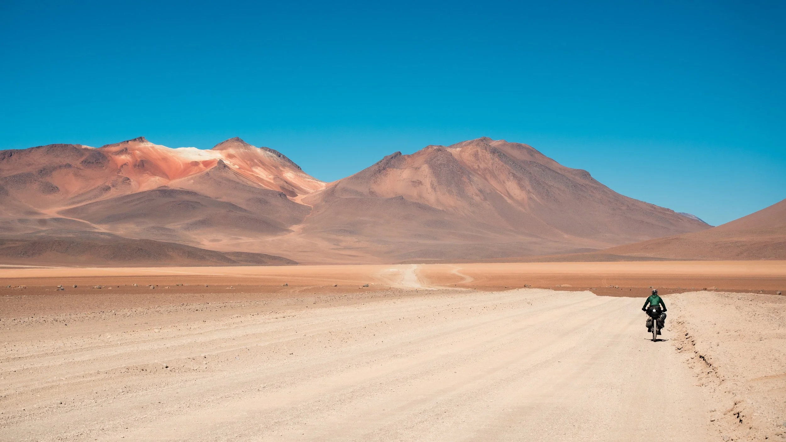
Each morning we had to wait until at least 9am to start riding. It would still be below freezing, but warm enough in the sun that we could get our heart rates up before things became numb. First was the climb to the high point of the trip, up to 4930m (from 4350m). Initially it we enjoyed one of the better roads of the route, and we made reasonable time up the steady incline. Nearer the top the corrugations returned just as bad as ever and our pace dropped dramatically.
Pondering line choices.
One of the better sections of road.
We pedalled over loose rocks, sand, and everything else to avoid them. At the top is a geothermal area with some boiling mud pools and geysers, which were worth the very short detour we made, but definitely not worth the trip to cycle up independently. Descending the other side to Chalviri and its salar was the highlight of the route riding wise; a nice, smooth gravel road. We made appropriate downhill time for once, but still found the sun behind the hills by the time we had checked into a hostel. There is a hot spring in town that is the drawcard for people, but we had neither the cash remaining (30bob per person) nor inclination to go out in the cold (somewhere about -10c) and dark to check it out.
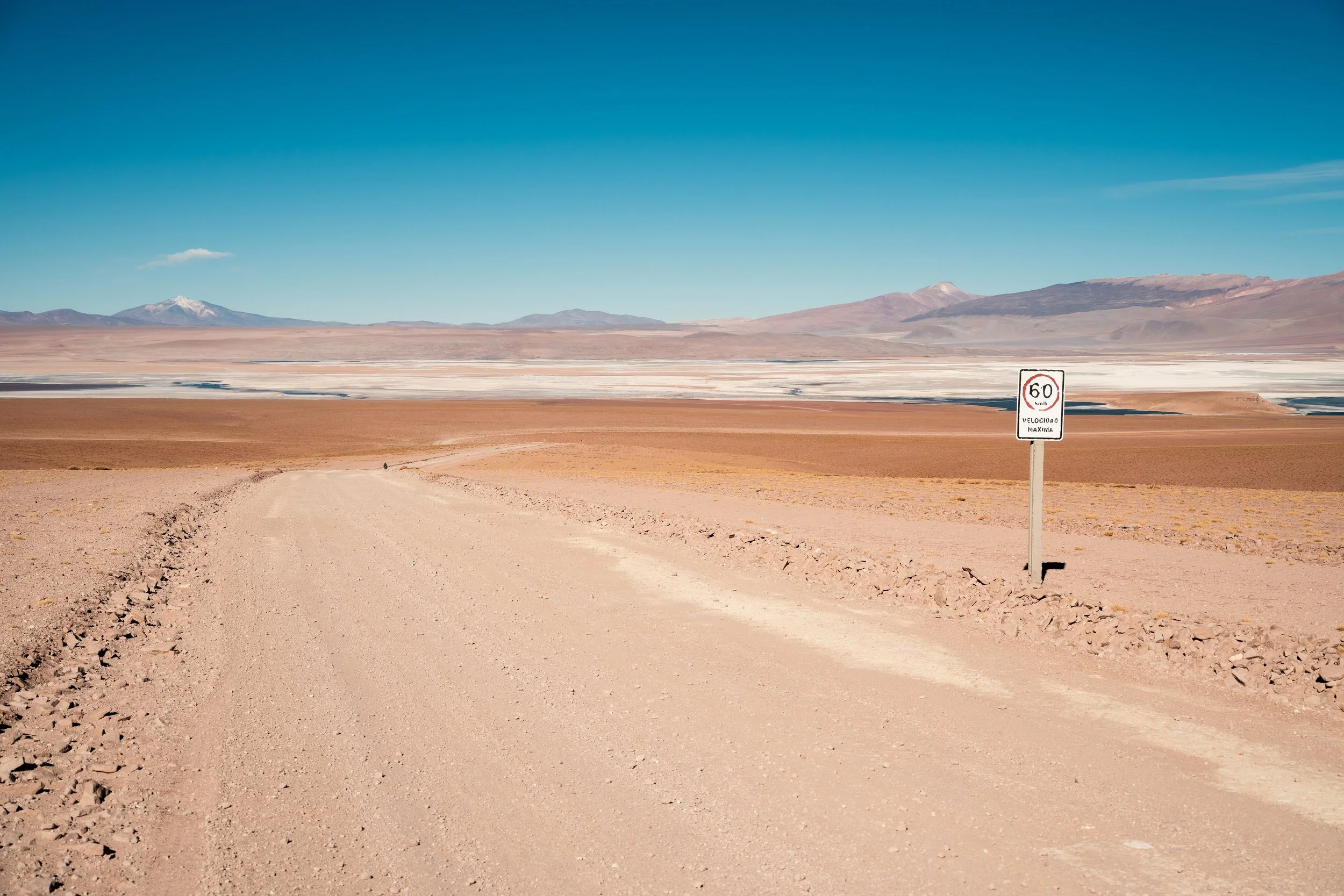
Descending to Salar Chalviri.
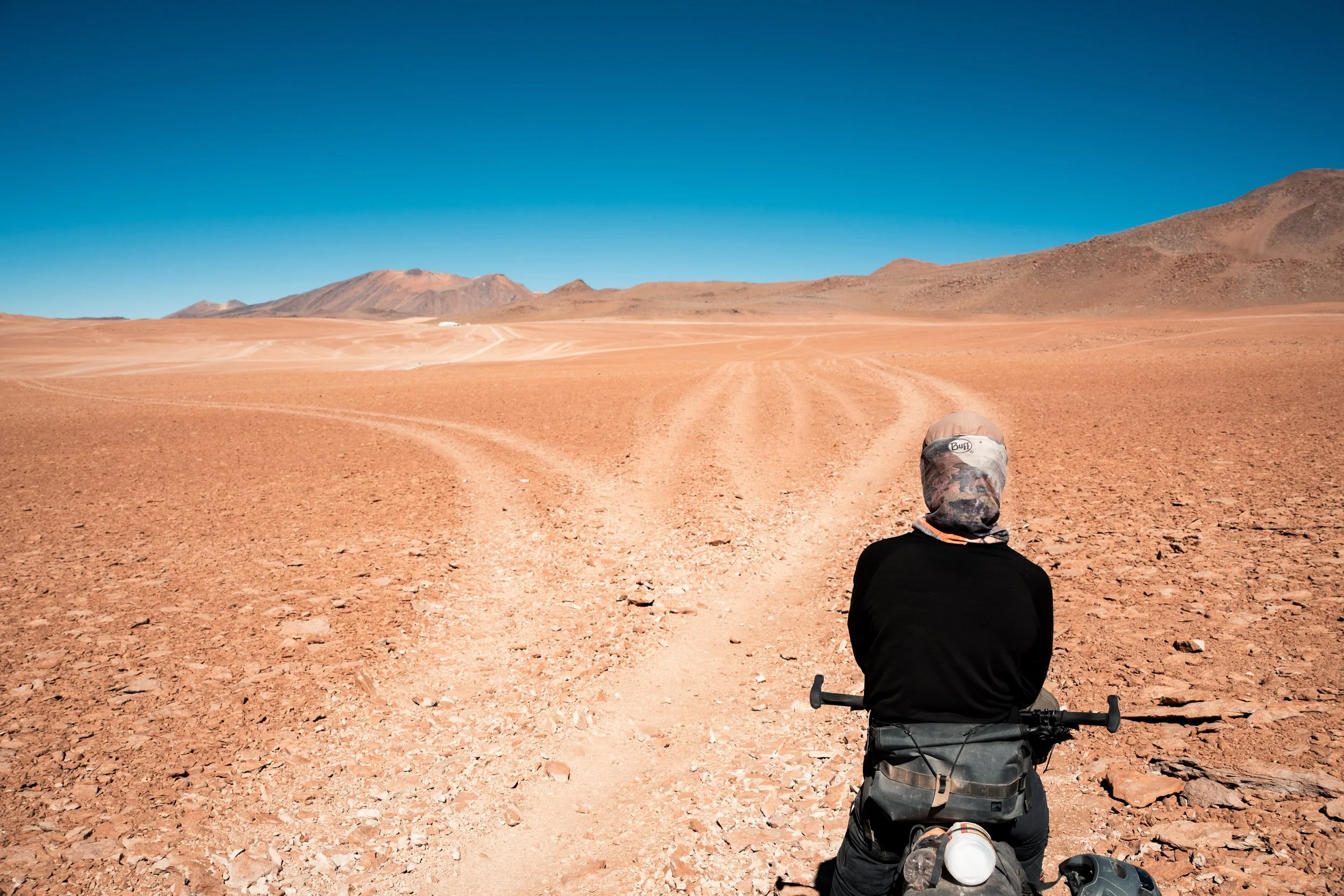
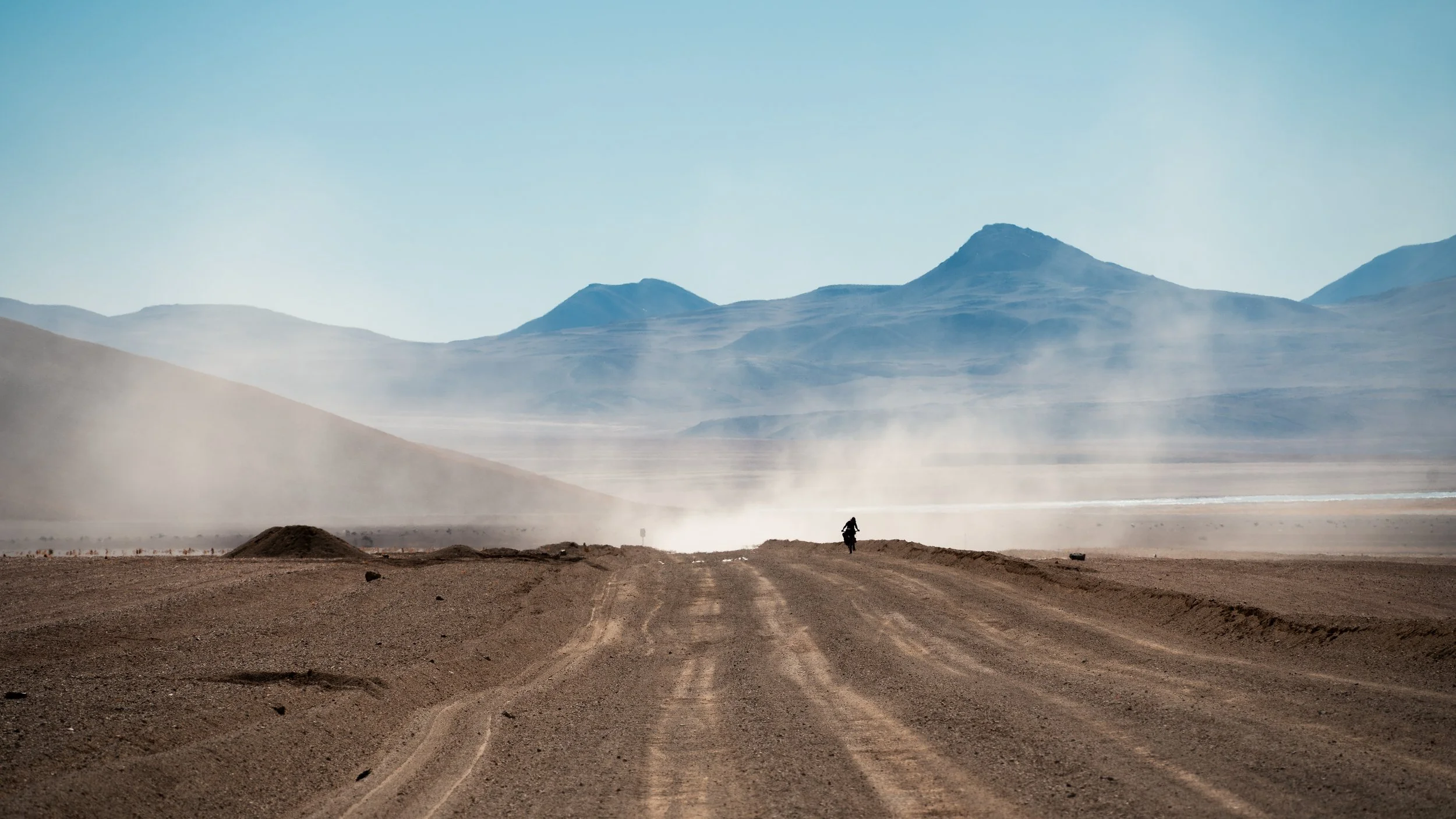
We got on our bikes as early as we could in the morning to try and make the border with Chile, so we could get off the Lagunas route and get a proper meal in San Pedro de Atacama, Chile. Despite being 9am, it was still below freezing even in the sun, and our progress was slowed by numb extremities. The good road from the day before was non-existent, and we bumped slowly past the ‘Salvador Dali’ Desert, painfully unimpressed by the distant scattering of rocks. There were two climbs for the day, and just as we started the first, a fierce headwind blew up. This continued through the descent, and we were well behind time when we got to the bottom.
Riding past the Salvador Dali desert. The photos of the desert itself are not worth sharing.
Ascending into the headwinds.
At the top of the pass. My hat blew off in the second before the photo; Lauren is going to try retrieve it.
A quick llama steak for lunch, and it was just a 12km climb to the Chilean border post at the top of the hill. I was completely gassed by this point. I mostly pushed slowly up the hill, battling the headwind. I did the maths - if we were lucky, we might make it to the border by 5pm; we just had to hope it was still open. Fortunately, the Bolivian exit border consisted of nothing more than a man opening a window and stamping our passports, without even looking at our faces (which were covered with hats and sunglasses) or getting out of his chair.
Leaving the Bolivian border post on the left, heading into Chile.
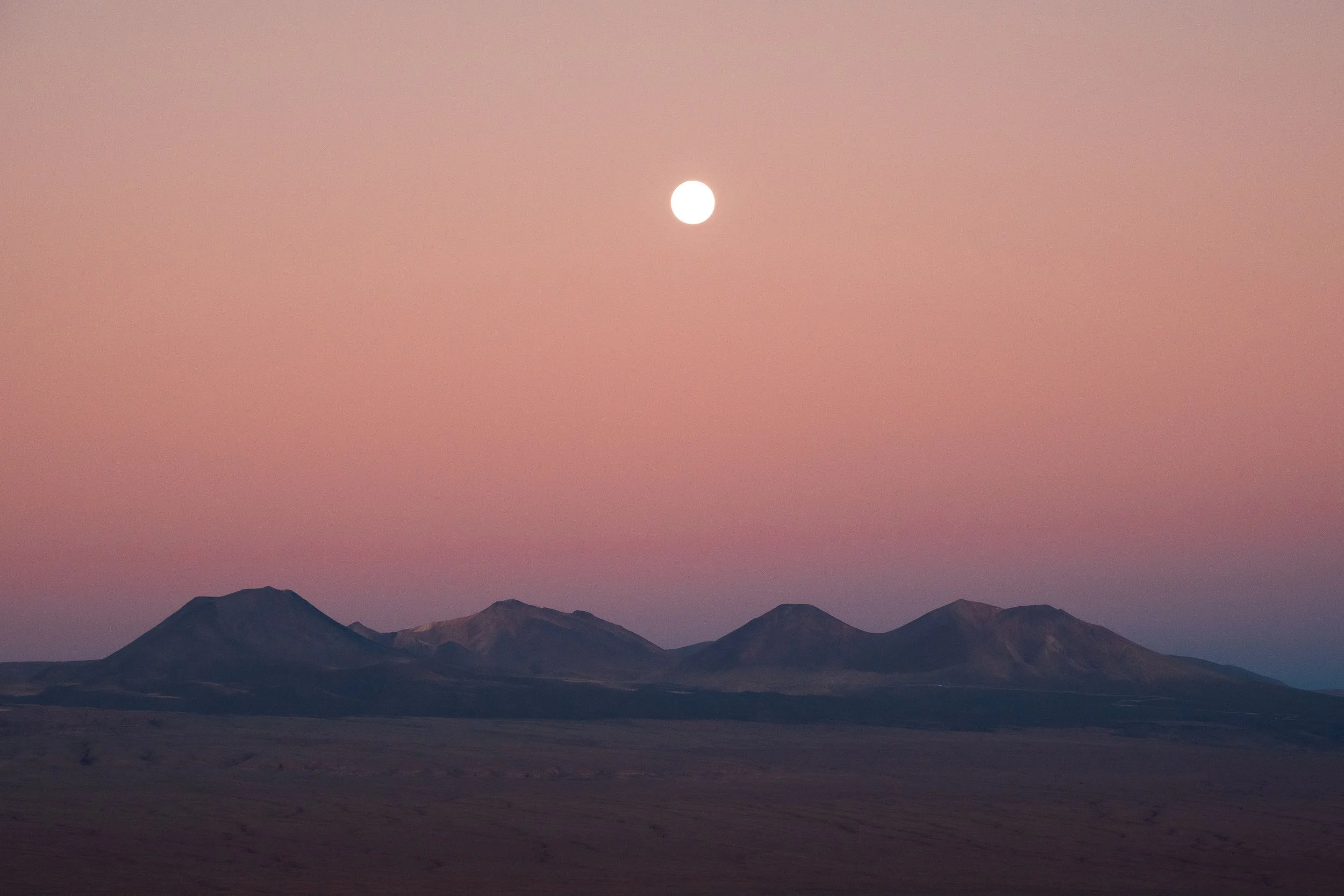
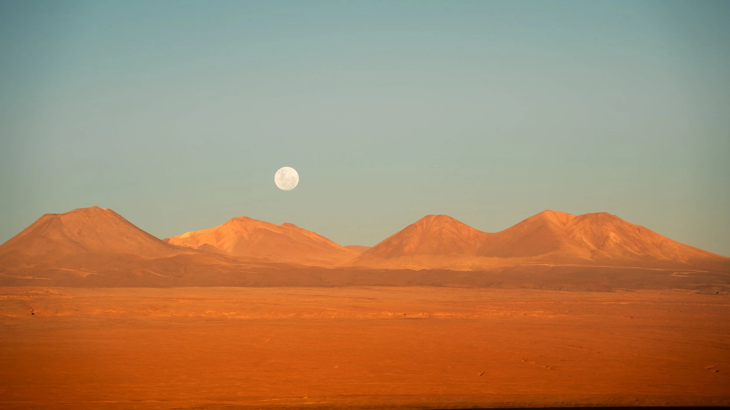
I eventually got to Chile about 4:30pm; Lauren was some way ahead of me. The process here was a bit slower, as they had to arrange some documentation for the bicycles (we hadn’t needed this on our previous visit). We were leaving just before 5pm, with the longest downhill of our lives ahead of us. Forty kilometres, with nearly 2500m of descent, all on smooth tarmac. We coasted off, and were soon doing nearly 60km/h for the next hour, stopping to snap some photos of the mesmerising night sky and the moon at its fullest just outside of San Pedro, before arriving to our hostel just before dark; perfect timing. Following a quick shower we headed out for burgers, and can definitely recommend Manada Burger if you want a greasy, high-calorie, decent burger in San Pedro de Atacama.
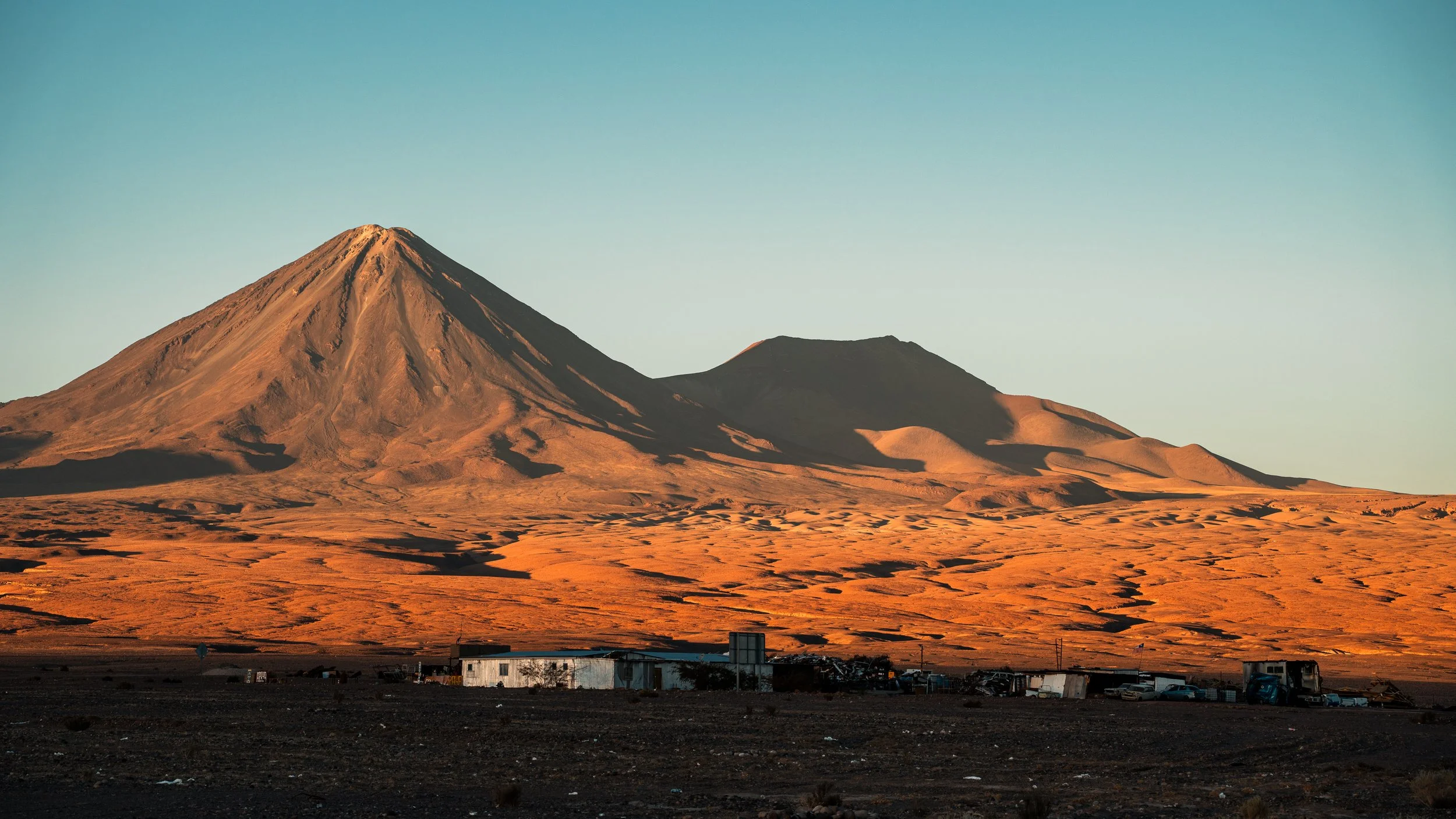
Volcan Licancabur, which dominates San Pedro de Atacama